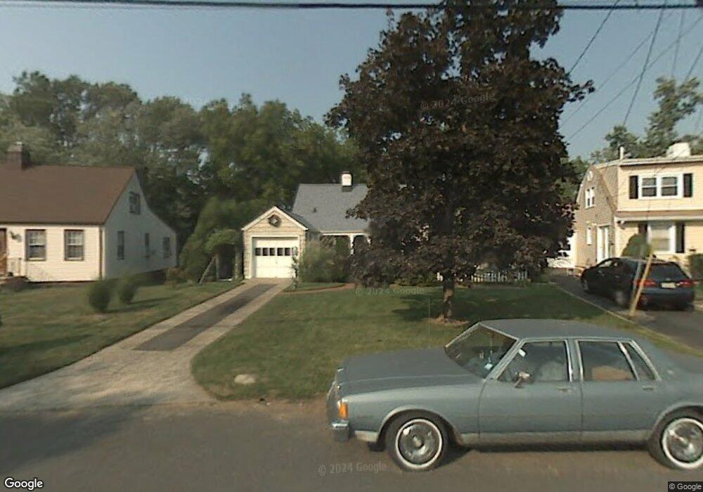
10 Mohawk Dr Cranford, NJ 07016
Estimated Value: $551,710 - $805,000
Studio
--
Bath
--
Sq Ft
8,233
Sq Ft Lot Lot
About This Home
This home is located at 10 Mohawk Dr, Cranford, NJ 07016 and is currently estimated at $716,928. 10 Mohawk Dr is a home located in Union County with nearby schools including Cranford Sr High School, St John The Apostle School, and Mother Seton Regional High School.
Ownership History
Date
Name
Owned For
Owner Type
Purchase Details
Closed on
Jul 30, 1999
Sold by
Silber Claire M and Hooey Alisha
Bought by
Docimo Lawrence and Docimo Betty
Current Estimated Value
Purchase Details
Closed on
Jul 25, 1996
Sold by
Hart Thomas J
Bought by
Silber Claire M and Silber Alisha
Purchase Details
Closed on
Apr 16, 1996
Sold by
Baron Andrew M and Armitage Gertrude J
Bought by
Hart Thomas J
Create a Home Valuation Report for This Property
The Home Valuation Report is an in-depth analysis detailing your home's value as well as a comparison with similar homes in the area
Home Values in the Area
Average Home Value in this Area
Purchase History
We collect this data history from publicly available records. To have your information removed, we recommend requesting removal directly through your county’s website.
| Date | Buyer | Sale Price | Title Company |
|---|---|---|---|
| Docimo Lawrence | $232,000 | -- | |
| Silber Claire M | $170,000 | -- | |
| Hart Thomas J | -- | -- |
Source: Public Records
Tax History
| Year | Tax Paid | Tax Assessment Tax Assessment Total Assessment is a certain percentage of the fair market value that is determined by local assessors to be the total taxable value of land and additions on the property. | Land | Improvement |
|---|---|---|---|---|
| 2025 | $10,792 | $159,200 | $84,700 | $74,500 |
| 2024 | $10,614 | $159,200 | $84,700 | $74,500 |
| 2023 | $10,614 | $159,200 | $84,700 | $74,500 |
| 2022 | $10,526 | $159,200 | $84,700 | $74,500 |
| 2021 | $10,480 | $159,200 | $84,700 | $74,500 |
| 2020 | $10,447 | $159,200 | $84,700 | $74,500 |
| 2019 | $10,380 | $159,200 | $84,700 | $74,500 |
| 2018 | $10,192 | $159,200 | $84,700 | $74,500 |
| 2017 | $9,842 | $159,200 | $84,700 | $74,500 |
| 2016 | $9,484 | $159,200 | $84,700 | $74,500 |
| 2015 | $8,985 | $159,200 | $84,700 | $74,500 |
| 2014 | $8,796 | $159,200 | $84,700 | $74,500 |
Source: Public Records
Map
Nearby Homes
- 21 Mohawk Dr
- 63 Coldevin Rd
- 19 Munsee Dr
- 44 James Ave
- 148 Mohawk Dr
- 2843 Wickersham Ave
- 5 Phillips St
- 2849 Verona Ave
- 2824 N Stiles St
- 156 Mohawk Dr
- 431 Raritan Rd
- 501 Centennial Ave
- 15 Roger Norton Place
- 357 Centennial Ave
- 2801 Dewitt Terrace
- 26 Park Terrace
- 347 Livingston Rd
- 389 Walnut Ave
- 333 Livingston Rd
- 802 Riverbend Dr
Your Personal Tour Guide
Ask me questions while you tour the home.