10 Mulberry Trace Unit 85 Covington, GA 30014
Estimated Value: $310,000 - $338,370
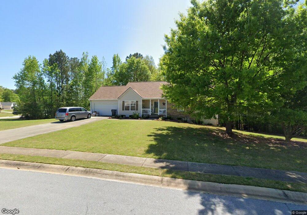
About This Home
This home is located at 10 Mulberry Trace Unit 85, Covington, GA 30014 and is currently estimated at $326,843, approximately $202 per square foot. 10 Mulberry Trace Unit 85 is a home located in Newton County with nearby schools including East Newton Elementary School, Cousins Middle School, and Eastside High School.
Ownership History
We collect this data history from publicly available records. To have your information removed, we recommend requesting removal directly through your county’s website.
Purchase Details
Home Financials for this Owner
Home Financials are based on the most recent Mortgage that was taken out on this home.Purchase Details
Home Financials for this Owner
Home Financials are based on the most recent Mortgage that was taken out on this home.Purchase Details
Home Financials for this Owner
Home Financials are based on the most recent Mortgage that was taken out on this home.Purchase Details
Home Financials for this Owner
Home Financials are based on the most recent Mortgage that was taken out on this home.Home Values in the Area
Average Home Value in this Area
Purchase History
We collect this data history from publicly available records. To have your information removed, we recommend requesting removal directly through your county’s website.
| Date | Buyer | Sale Price | Title Company |
|---|---|---|---|
| $350,000 | -- | ||
| $133,000 | -- | ||
| $135,400 | -- | ||
| $241,200 | -- |
Mortgage History
We collect this data history from publicly available records. To have your information removed, we recommend requesting removal directly through your county’s website.
| Date | Status | Borrower | Loan Amount |
|---|---|---|---|
| Open | $332,500 | ||
| Previous Owner | $119,700 | ||
| Previous Owner | $108,320 | ||
| Previous Owner | $912,412 |
Tax History
We collect this data history from publicly available records. To have your information removed, we recommend requesting removal directly through your county’s website.
| Year | Tax Paid | Tax Assessment Tax Assessment Total Assessment is a certain percentage of the fair market value that is determined by local assessors to be the total taxable value of land and additions on the property. | Land | Improvement |
|---|---|---|---|---|
| 2025 | $3,321 | $135,160 | $19,200 | $115,960 |
| 2024 | $3,826 | $152,760 | $19,200 | $133,560 |
| 2023 | $3,741 | $139,760 | $14,400 | $125,360 |
| 2022 | $2,430 | $91,440 | $14,400 | $77,040 |
| 2021 | $2,353 | $79,680 | $8,800 | $70,880 |
| 2020 | $2,237 | $68,920 | $8,800 | $60,120 |
| 2019 | $2,193 | $66,640 | $8,800 | $57,840 |
| 2018 | $2,072 | $62,720 | $8,800 | $53,920 |
| 2017 | $1,714 | $52,280 | $8,800 | $43,480 |
| 2016 | $1,549 | $43,600 | $7,200 | $36,400 |
| 2015 | $1,574 | $44,320 | $7,200 | $37,120 |
| 2014 | $1,400 | $39,400 | $0 | $0 |
Map
- 415 River Walk Farm
- 428 River Walk Farm
- 407 River Walk Farm
- 399 River Walk Farm
- 420 River Walk Farm Pkwy
- 406 River Walk Farm
- 359 River Walk Farm Pwy #4
- 140 Dearing Woods Way Unit 2
- 13215 Tolstoy Dr SE
- 323 River Walk Farm
- 100 Wexford Way
- 295 River Walk Farm Pkwy
- 13710 Homer Ln
- 13274 Tolstoy Ln
- 13623 Whitman Ln
- 13286 Tolstoy Dr
- 13460 Whitman Ln
- 7157 S Dearing St S
- 7703 Fawn Cir
- 13716 Whitman Ln
- 10 Mulberry Trace
- 10 Dearing Cove
- 185 Vintage Dr
- 35 Dearing Woods Ln
- 20 Dearing Cove
- 170 Vintage Dr
- 45 Dearing Woods Ln
- 45 Dearing Woods Ln Unit 4
- 25 Dearing Woods Ln
- 160 Vintage Dr Unit 3
- 195 Vintage Dr Unit 3
- 180 Vintage Dr Unit 3
- 30 Dearing Cove
- 135 Vintage Dr
- 140 Vintage Dr Unit 3
- 190 Vintage Dr
- 40 Dearing Woods Ln
- 55 Dearing Woods Ln Unit 107
- 55 Dearing Woods Ln
- 15 Dearing Woods Ln
Ask me questions while you tour the home.