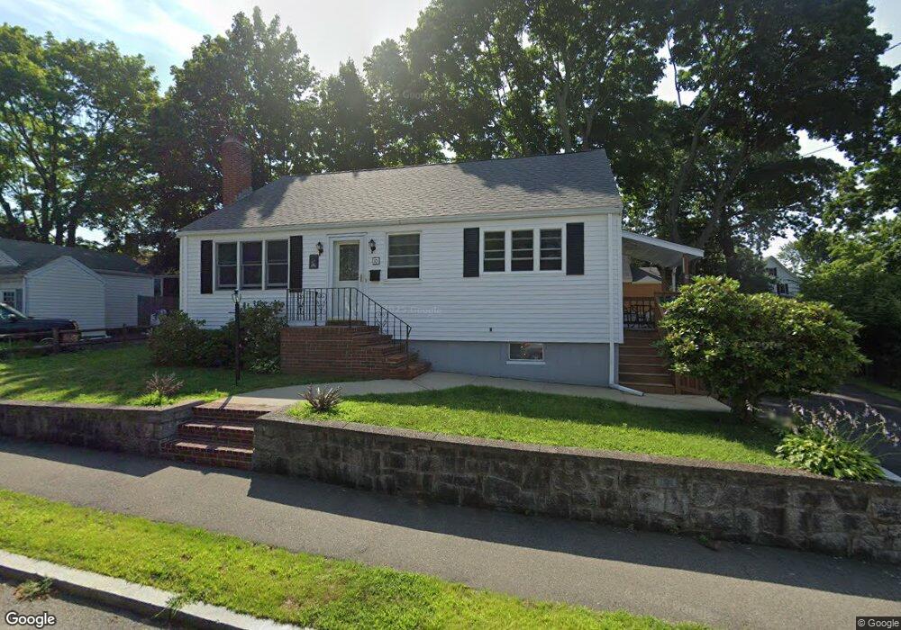
10 Norman Rd Quincy, MA 02169
South Quincy NeighborhoodEstimated Value: $674,000 - $706,000
About This Home
This home is located at 10 Norman Rd, Quincy, MA 02169 and is currently estimated at $691,250, approximately $619 per square foot. 10 Norman Rd is a home located in Norfolk County with nearby schools including Lincoln-Hancock Community School, South West Middle School, and Quincy High School.
Ownership History
We collect this data history from publicly available records. To have your information removed, we recommend requesting removal directly through your county’s website.
Purchase Details
Purchase Details
Home Values in the Area
Average Home Value in this Area
Purchase History
We collect this data history from publicly available records. To have your information removed, we recommend requesting removal directly through your county’s website.
| Date | Buyer | Sale Price | Title Company |
|---|---|---|---|
| -- | -- | ||
| -- | -- |
Tax History
We collect this data history from publicly available records. To have your information removed, we recommend requesting removal directly through your county’s website.
| Year | Tax Paid | Tax Assessment Tax Assessment Total Assessment is a certain percentage of the fair market value that is determined by local assessors to be the total taxable value of land and additions on the property. | Land | Improvement |
|---|---|---|---|---|
| 2025 | $6,211 | $538,700 | $270,400 | $268,300 |
| 2024 | $5,901 | $523,600 | $257,600 | $266,000 |
| 2023 | $5,372 | $482,700 | $234,200 | $248,500 |
| 2022 | $5,168 | $431,400 | $195,100 | $236,300 |
| 2021 | $5,129 | $422,500 | $195,100 | $227,400 |
| 2020 | $5,126 | $412,400 | $195,100 | $217,300 |
| 2019 | $4,711 | $375,400 | $184,100 | $191,300 |
| 2018 | $4,621 | $346,400 | $170,500 | $175,900 |
| 2017 | $4,411 | $311,300 | $162,300 | $149,000 |
| 2016 | $4,114 | $286,500 | $141,200 | $145,300 |
| 2015 | $4,330 | $296,600 | $141,200 | $155,400 |
| 2014 | $4,051 | $272,600 | $141,200 | $131,400 |
Map
- 14 Hillsboro St
- 11 Conrad St
- 190-192 Kendrick Ave
- 146 Burroughs Rd
- 199 Hawthorn Rd
- 36 Independence Ave Unit 36
- 11 Oak Grove Terrace Unit 303
- 11 Oak Grove Terrace Unit 402
- 9 Independence Ave Unit 205
- 9 Independence Ave Unit 307
- 115 Hawthorn Rd
- 67-69 Penn St
- 27 Lawnview Dr
- 8 Jackson St Unit C1
- 15 Guild St
- 39-47 Water St
- 35 Water St
- 19 Cavanaugh Rd
- 21 Spaulding St
- 21 Totman St Unit 201
- 18 Norman Rd
- 15 Hillsboro St
- 4 Norman Rd
- 11 Norman Rd
- 3 Hillsboro St
- 313 Franklin St
- 17 Norman Rd
- 297 Franklin St
- 293 Franklin St
- 25 Hillsboro St
- 24 Norman Rd
- 21 Norman Rd
- 287 Franklin St
- 287 Franklin St Unit 1
- 287 Franklin St Unit 1st floor
- 287-289 Franklin St
- 287-289 Franklin St Unit 2
- 287-289 Franklin St Unit 1
- 4 Hillsboro St
- 10 Hillsboro St
Ask me questions while you tour the home.