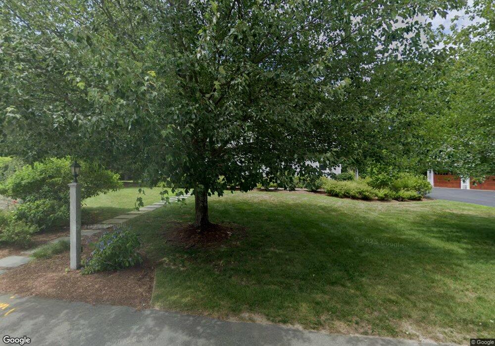
10 Oxbow Rd Canton, MA 02021
Estimated Value: $1,219,747 - $1,442,000
About This Home
This home is located at 10 Oxbow Rd, Canton, MA 02021 and is currently estimated at $1,368,187, approximately $432 per square foot. 10 Oxbow Rd is a home located in Norfolk County with nearby schools including Canton High School.
Ownership History
We collect this data history from publicly available records. To have your information removed, we recommend requesting removal directly through your county’s website.
Purchase Details
Purchase Details
Home Values in the Area
Average Home Value in this Area
Purchase History
We collect this data history from publicly available records. To have your information removed, we recommend requesting removal directly through your county’s website.
| Date | Buyer | Sale Price | Title Company |
|---|---|---|---|
| $330,000 | -- | ||
| $313,558 | -- |
Mortgage History
We collect this data history from publicly available records. To have your information removed, we recommend requesting removal directly through your county’s website.
| Date | Status | Borrower | Loan Amount |
|---|---|---|---|
| Closed | $129,604 | ||
| Open | $240,000 | ||
| Closed | $253,000 | ||
| Closed | $255,000 |
Tax History
We collect this data history from publicly available records. To have your information removed, we recommend requesting removal directly through your county’s website.
| Year | Tax Paid | Tax Assessment Tax Assessment Total Assessment is a certain percentage of the fair market value that is determined by local assessors to be the total taxable value of land and additions on the property. | Land | Improvement |
|---|---|---|---|---|
| 2025 | $11,405 | $1,153,200 | $361,700 | $791,500 |
| 2024 | $11,059 | $1,109,200 | $347,800 | $761,400 |
| 2023 | $10,543 | $997,400 | $347,800 | $649,600 |
| 2022 | $10,545 | $929,100 | $331,200 | $597,900 |
| 2021 | $10,281 | $842,700 | $301,100 | $541,600 |
| 2020 | $9,905 | $809,900 | $286,800 | $523,100 |
| 2019 | $9,893 | $797,800 | $260,600 | $537,200 |
| 2018 | $9,676 | $779,100 | $273,400 | $505,700 |
| 2017 | $9,604 | $750,900 | $268,100 | $482,800 |
| 2016 | $9,445 | $738,500 | $261,500 | $477,000 |
| 2015 | $9,210 | $718,400 | $253,900 | $464,500 |
Map
- 448 York St
- 14 Willow St
- 23 Ledgewood Dr
- 3 Stonewood Dr
- 55 Lake Rd
- 106 Indian Ln
- 21 Elizabeth St
- Lot 43 Pondview Ln
- Lot 2 Pondview Ln
- 234 York St
- 17 Indian Woods Way Unit 17
- 888 Turnpike St
- 29 Lillian Rd
- 30 Turtle Brook Rd
- 7 Glen Echo Blvd
- 881 Pleasant St
- 63 Brad Rd
- 140 York St
- 59 Boylston St
- 23 Emily Jeffers Rd
Ask me questions while you tour the home.