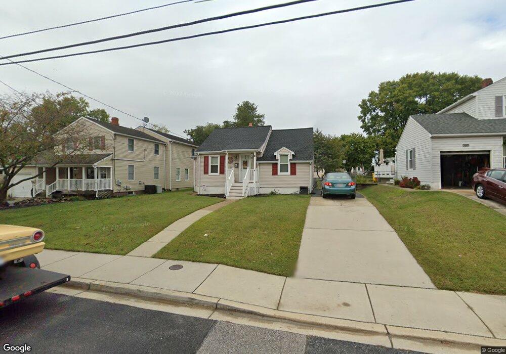
10 Patapsco Rd Linthicum Heights, MD 21090
Estimated Value: $337,000 - $366,000
About This Home
This home is located at 10 Patapsco Rd, Linthicum Heights, MD 21090 and is currently estimated at $347,488, approximately $246 per square foot. 10 Patapsco Rd is a home located in Anne Arundel County with nearby schools including Overlook Elementary School, Lindale Middle School, and North County High School.
Ownership History
We collect this data history from publicly available records. To have your information removed, we recommend requesting removal directly through your county’s website.
Purchase Details
Home Financials for this Owner
Home Financials are based on the most recent Mortgage that was taken out on this home.Home Values in the Area
Average Home Value in this Area
Purchase History
We collect this data history from publicly available records. To have your information removed, we recommend requesting removal directly through your county’s website.
| Date | Buyer | Sale Price | Title Company |
|---|---|---|---|
| $96,500 | -- |
Mortgage History
We collect this data history from publicly available records. To have your information removed, we recommend requesting removal directly through your county’s website.
| Date | Status | Borrower | Loan Amount |
|---|---|---|---|
| Closed | $72,350 |
Tax History
We collect this data history from publicly available records. To have your information removed, we recommend requesting removal directly through your county’s website.
| Year | Tax Paid | Tax Assessment Tax Assessment Total Assessment is a certain percentage of the fair market value that is determined by local assessors to be the total taxable value of land and additions on the property. | Land | Improvement |
|---|---|---|---|---|
| 2025 | $3,075 | $270,900 | $147,800 | $123,100 |
| 2024 | $3,075 | $259,100 | $0 | $0 |
| 2023 | $2,982 | $247,300 | $0 | $0 |
| 2022 | $2,776 | $235,500 | $132,800 | $102,700 |
| 2020 | $2,636 | $218,700 | $0 | $0 |
| 2019 | $2,589 | $210,300 | $105,600 | $104,700 |
| 2018 | $2,108 | $207,900 | $0 | $0 |
| 2017 | $2,477 | $205,500 | $0 | $0 |
| 2016 | -- | $203,100 | $0 | $0 |
| 2015 | -- | $203,100 | $0 | $0 |
| 2014 | -- | $203,100 | $0 | $0 |
Map
- 37 Patapsco Rd
- 6834 Baltimore Annapolis Blvd
- 40 Hampton Rd
- 6028 Belle Grove Rd
- 305 Bishop Ave
- 6 Circle Dr
- 308 Hoffman Ave
- 5 Mountain Rd
- 145 Shenandoah Ave
- 219 Coronet Dr
- 224 Elizabeth Ave
- 107 Saint Charles Rd
- 517 Fountain Dr
- 275 Rupert Cir
- 2711 Yarnall Rd
- 401 Grove Ridge Ct
- 2760 Yarnall Rd
- 4427 Annapolis Rd
- 322 Cheddington Rd
- 2920 New York Ave
Ask me questions while you tour the home.