10 Pinkletink Rd Chilmark, MA 02535
Chilmark NeighborhoodEstimated Value: $3,608,267 - $4,732,000
5
Beds
4
Baths
3,450
Sq Ft
$1,212/Sq Ft
Est. Value
About This Home
This home is located at 10 Pinkletink Rd, Chilmark, MA 02535 and is currently estimated at $4,180,317, approximately $1,211 per square foot. 10 Pinkletink Rd is a home located in Dukes County with nearby schools including Martha's Vineyard Regional High School.
Ownership History
Date
Name
Owned For
Owner Type
Purchase Details
Closed on
Dec 10, 2009
Sold by
Erik Bailey Gins T
Bought by
Lubow Jonathan W and Lubow Jessica J
Current Estimated Value
Home Financials for this Owner
Home Financials are based on the most recent Mortgage that was taken out on this home.
Original Mortgage
$600,000
Outstanding Balance
$393,758
Interest Rate
5.02%
Mortgage Type
Purchase Money Mortgage
Estimated Equity
$3,786,559
Create a Home Valuation Report for This Property
The Home Valuation Report is an in-depth analysis detailing your home's value as well as a comparison with similar homes in the area
Home Values in the Area
Average Home Value in this Area
Purchase History
| Date | Buyer | Sale Price | Title Company |
|---|---|---|---|
| Lubow Jonathan W | $1,568,500 | -- | |
| Gins Roger Alan | -- | -- |
Source: Public Records
Mortgage History
| Date | Status | Borrower | Loan Amount |
|---|---|---|---|
| Open | Lubow Jonathan W | $600,000 |
Source: Public Records
Tax History
| Year | Tax Paid | Tax Assessment Tax Assessment Total Assessment is a certain percentage of the fair market value that is determined by local assessors to be the total taxable value of land and additions on the property. | Land | Improvement |
|---|---|---|---|---|
| 2025 | $5,678 | $2,523,700 | $1,217,200 | $1,306,500 |
| 2024 | $5,139 | $2,423,900 | $1,176,000 | $1,247,900 |
| 2023 | $5,173 | $1,967,000 | $995,000 | $972,000 |
| 2022 | $5,062 | $1,795,000 | $981,300 | $813,700 |
| 2021 | $4,857 | $1,669,100 | $981,300 | $687,800 |
| 2020 | $4,707 | $1,645,700 | $962,100 | $683,600 |
| 2019 | $4,563 | $1,584,500 | $962,100 | $622,400 |
| 2018 | $4,357 | $1,584,500 | $962,100 | $622,400 |
| 2017 | $4,234 | $1,580,000 | $962,100 | $617,900 |
| 2016 | $4,249 | $1,568,000 | $962,100 | $605,900 |
| 2015 | $4,124 | $1,568,000 | $962,100 | $605,900 |
| 2014 | $3,749 | $1,511,800 | $963,500 | $548,300 |
Source: Public Records
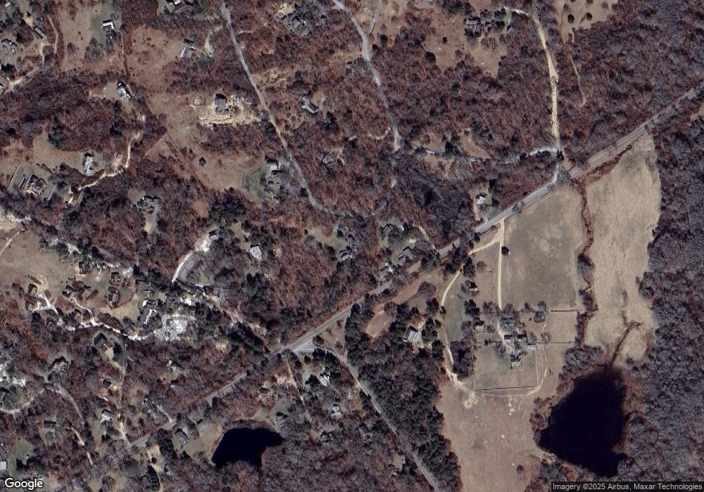
Map
Nearby Homes
- 43 N Slope Ln
- 46 Tiercel Ln
- 25 Fulling Mill Rd
- 0 N Road 15 Belhaven Way Unit 4-2
- 6 Trails End
- 78 Hammett Rd
- 34 Ebens Ln Unit 20 and 22
- 34 Ebens Ln
- 174 Middle Rd
- 96 Hammett Ln
- 12 Lobsterville Rd
- 16 Shotnaigher Ln
- 308 South Rd
- 834 State Rd Unit 133
- 27 Clambelly Rd
- 2 Other House Rd Unit 173
- 9 Moshup Trail
- 393 Lighthouse Rd
- 0 Jeffers Way Unit 165
- 370 Lighthouse Rd
- 5 Dirt Rd
- 443 North Rd
- 4 Dirt Rd
- 14 Cranberry Hill Rd
- 5 Menemsha Inn Rd
- 14 Pinkletink Rd
- 96 Menemsha Crossroad
- 435 North Rd
- 18 Cranberry Hill Rd
- 7 Menemsha Inn Rd
- 94 Menemsha Crossroad
- 15 Menemsha Inn Rd
- 458 North Rd
- 92 Menemsha Crossroad
- 20 Pinkletink Rd
- 39 Cranberry Hill Rd
- 19 Menemsha Inn Rd
- 21 Mayhew Ln
- 24 Cranberry Hill Rd
- 462 North Rd
Your Personal Tour Guide
Ask me questions while you tour the home.