10 Pocono Dr Durham, NC 27705
West Durham NeighborhoodEstimated Value: $324,217 - $369,000
2
Beds
3
Baths
1,352
Sq Ft
$252/Sq Ft
Est. Value
About This Home
This home is located at 10 Pocono Dr, Durham, NC 27705 and is currently estimated at $340,804, approximately $252 per square foot. 10 Pocono Dr is a home located in Durham County with nearby schools including Morehead Montessori, Forest View Elementary, and Brogden Middle.
Ownership History
Date
Name
Owned For
Owner Type
Purchase Details
Closed on
Mar 17, 2020
Sold by
Veasey John W and Veasey Susan J
Bought by
Charles Rae Properties Llc
Current Estimated Value
Home Financials for this Owner
Home Financials are based on the most recent Mortgage that was taken out on this home.
Original Mortgage
$199,600
Outstanding Balance
$98,234
Interest Rate
3.4%
Mortgage Type
Commercial
Estimated Equity
$242,570
Purchase Details
Closed on
Dec 12, 2012
Sold by
Standard Pacific Of The Carolinas Llc
Bought by
Veasey John W and Veasey Susan J
Home Financials for this Owner
Home Financials are based on the most recent Mortgage that was taken out on this home.
Original Mortgage
$129,500
Interest Rate
3.44%
Mortgage Type
New Conventional
Create a Home Valuation Report for This Property
The Home Valuation Report is an in-depth analysis detailing your home's value as well as a comparison with similar homes in the area
Home Values in the Area
Average Home Value in this Area
Purchase History
We collect this data history from publicly available records. To have your information removed, we recommend requesting removal directly through your county’s website.
| Date | Buyer | Sale Price | Title Company |
|---|---|---|---|
| Charles Rae Properties Llc | $249,500 | None Available | |
| Veasey John W | $162,000 | None Available |
Source: Public Records
Mortgage History
We collect this data history from publicly available records. To have your information removed, we recommend requesting removal directly through your county’s website.
| Date | Status | Borrower | Loan Amount |
|---|---|---|---|
| Open | Charles Rae Properties Llc | $199,600 | |
| Previous Owner | Veasey John W | $129,500 |
Source: Public Records
Tax History
| Year | Tax Paid | Tax Assessment Tax Assessment Total Assessment is a certain percentage of the fair market value that is determined by local assessors to be the total taxable value of land and additions on the property. | Land | Improvement |
|---|---|---|---|---|
| 2025 | $3,406 | $343,582 | $95,000 | $248,582 |
| 2024 | $3,107 | $222,711 | $50,000 | $172,711 |
| 2023 | $2,917 | $222,711 | $50,000 | $172,711 |
| 2022 | $2,850 | $222,711 | $50,000 | $172,711 |
| 2021 | $2,837 | $222,711 | $50,000 | $172,711 |
| 2020 | $2,770 | $222,711 | $50,000 | $172,711 |
| 2019 | $2,770 | $222,711 | $50,000 | $172,711 |
| 2018 | $2,634 | $194,179 | $40,000 | $154,179 |
| 2017 | $2,615 | $194,179 | $40,000 | $154,179 |
| 2016 | $2,526 | $194,179 | $40,000 | $154,179 |
| 2015 | $2,140 | $154,615 | $31,000 | $123,615 |
| 2014 | $2,140 | $154,615 | $31,000 | $123,615 |
Source: Public Records
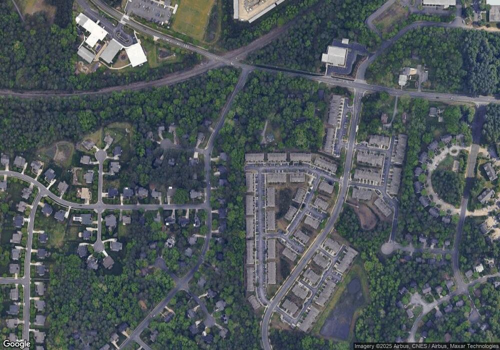
Map
Nearby Homes
- 18 Pocono Dr
- 222 Mount Evans Dr
- 110 Mt Evans Dr
- 112 Salmon River Dr
- 34 Argonaut Dr
- 28 Gorham Place
- 4008 Ellisfield Dr
- 4704 Cumberland Dr
- 4 Astor Ct
- 102 Arthur Ln
- 7 Durbin Place
- 410 Lionel St
- 36 Georgetown Ct
- 128 Galway Glenn Ln
- 205 Silas St
- 77 Forest Oaks Dr
- 74 Forest Oaks Dr
- 50 Galway Glenn Ln
- 4111 Talcott Dr
- 20 Ezekiel St
- 12 Pocono Dr
- 12 Pocono Dr Unit 76
- 12 Pocono Dr
- 14 Pocono Dr
- 16 Pocono Dr
- 16 Pocono Dr Unit 78
- 18 Pocono Dr Unit 79
- 20 Pocono Dr
- 20 Pocono Dr Unit 80
- 242 Mount Evans Dr
- 22 Pocono Dr
- 242 Mt Evans Dr Unit 74
- 242 Mt Evans Dr
- 240 Mount Evans Dr
- 240 Mt Evans Dr
- 236 Mt Evans Dr Unit 71
- 236 Mt Evans Dr
- 238 Mt Evans Dr Unit 72
- 236 Mount Evans Dr
- 234 Mt Evans Dr Unit 70
Your Personal Tour Guide
Ask me questions while you tour the home.