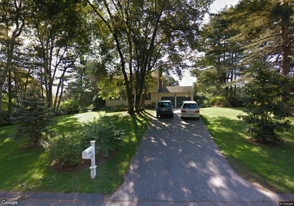
10 Pondview Rd Norfolk, MA 02056
Estimated Value: $724,724 - $879,000
4
Beds
2
Baths
2,214
Sq Ft
$356/Sq Ft
Est. Value
About This Home
This home is located at 10 Pondview Rd, Norfolk, MA 02056 and is currently estimated at $788,181, approximately $355 per square foot. 10 Pondview Rd is a home located in Norfolk County with nearby schools including H. Olive Day School, Freeman-Kennedy School, and Woodside Montessori Academy.
Ownership History
Date
Name
Owned For
Owner Type
Purchase Details
Closed on
May 3, 2016
Sold by
Matthew Diane Cullen F
Bought by
Cullen Nt
Current Estimated Value
Purchase Details
Closed on
Jan 5, 2000
Sold by
Pelleteri Mary B
Bought by
Cullen R Matthew and Cullen Diane L
Home Financials for this Owner
Home Financials are based on the most recent Mortgage that was taken out on this home.
Original Mortgage
$211,750
Interest Rate
7.73%
Mortgage Type
Purchase Money Mortgage
Create a Home Valuation Report for This Property
The Home Valuation Report is an in-depth analysis detailing your home's value as well as a comparison with similar homes in the area
Home Values in the Area
Average Home Value in this Area
Purchase History
| Date | Buyer | Sale Price | Title Company |
|---|---|---|---|
| Cullen Nt | -- | -- | |
| Cullen R Matthew | $282,500 | -- |
Source: Public Records
Mortgage History
| Date | Status | Borrower | Loan Amount |
|---|---|---|---|
| Previous Owner | Cullen R Matthew | $253,100 | |
| Previous Owner | Cullen R Matthew | $266,000 | |
| Previous Owner | Cullen R Matthew | $211,750 | |
| Closed | Cullen R Matthew | $56,500 |
Source: Public Records
Tax History
| Year | Tax Paid | Tax Assessment Tax Assessment Total Assessment is a certain percentage of the fair market value that is determined by local assessors to be the total taxable value of land and additions on the property. | Land | Improvement |
|---|---|---|---|---|
| 2025 | $9,569 | $599,200 | $213,700 | $385,500 |
| 2024 | $9,041 | $580,700 | $213,700 | $367,000 |
| 2023 | $8,733 | $532,200 | $213,700 | $318,500 |
| 2022 | $8,219 | $451,600 | $200,100 | $251,500 |
| 2021 | $7,997 | $444,500 | $194,400 | $250,100 |
| 2020 | $7,450 | $399,700 | $176,600 | $223,100 |
| 2019 | $7,188 | $393,000 | $176,600 | $216,400 |
| 2018 | $6,947 | $373,100 | $176,600 | $196,500 |
| 2017 | $6,845 | $375,700 | $176,600 | $199,100 |
| 2016 | $6,720 | $371,700 | $176,600 | $195,100 |
| 2015 | $5,994 | $339,400 | $168,100 | $171,300 |
| 2014 | $5,886 | $337,700 | $168,100 | $169,600 |
Source: Public Records
Map
Nearby Homes
- 1 Margauxs Way
- 7 Old Colony Dr
- 40 Medway St
- 98 Medway St
- 3 Elliot Mills Unit 2
- 6 Elliot Mills Unit 31
- 118 Main St
- 45 Meetinghouse Rd Unit 45
- 57 Thomas Mann Cir Unit Lot 33
- 37 Thomas Mann Cir Unit 23
- 44 Thomas Mann Cir Unit 40
- 35 Thomas Mann Cir Unit 22
- 12 Brookside Ln
- 18 Keeney Pond Rd
- 234-236-0 Pleasant St
- 12 Ariana Ln
- 215 Causeway St
- 7 Keeney Pond Rd
- 6 Trailside Way
- 41 Myrtle St
Your Personal Tour Guide
Ask me questions while you tour the home.