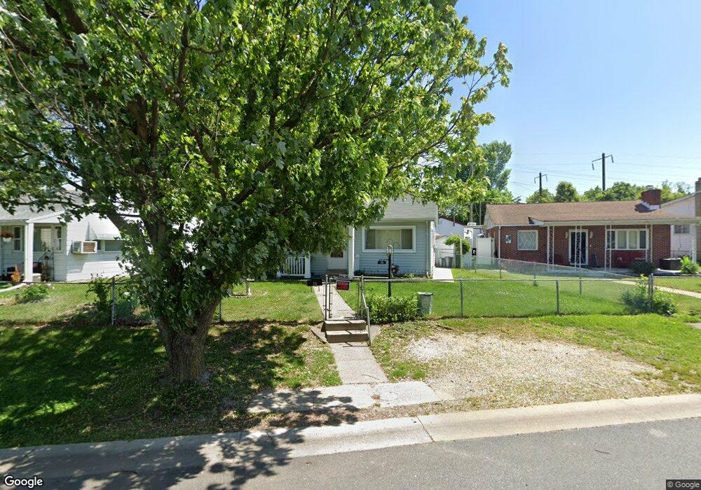
10 Right Wing Dr Middle River, MD 21220
Middle River AreaEstimated Value: $217,000 - $253,000
About This Home
This home is located at 10 Right Wing Dr, Middle River, MD 21220 and is currently estimated at $232,970, approximately $269 per square foot. 10 Right Wing Dr is a home located in Baltimore County with nearby schools including Orems Elementary, Stemmers Run Middle School, and Kenwood High.
Ownership History
We collect this data history from publicly available records. To have your information removed, we recommend requesting removal directly through your county’s website.
Purchase Details
Purchase Details
Purchase Details
Purchase Details
Home Values in the Area
Average Home Value in this Area
Purchase History
We collect this data history from publicly available records. To have your information removed, we recommend requesting removal directly through your county’s website.
| Date | Buyer | Sale Price | Title Company |
|---|---|---|---|
| -- | Endeavor Title | ||
| $98,000 | -- | ||
| $50,000 | -- | ||
| $46,900 | -- |
Mortgage History
We collect this data history from publicly available records. To have your information removed, we recommend requesting removal directly through your county’s website.
| Date | Status | Borrower | Loan Amount |
|---|---|---|---|
| Previous Owner | $77,500 | ||
| Previous Owner | $75,000 |
Tax History
We collect this data history from publicly available records. To have your information removed, we recommend requesting removal directly through your county’s website.
| Year | Tax Paid | Tax Assessment Tax Assessment Total Assessment is a certain percentage of the fair market value that is determined by local assessors to be the total taxable value of land and additions on the property. | Land | Improvement |
|---|---|---|---|---|
| 2025 | $2,821 | $179,267 | ||
| 2024 | $2,821 | $168,233 | ||
| 2023 | $1,328 | $157,200 | $52,700 | $104,500 |
| 2022 | $2,604 | $148,200 | $0 | $0 |
| 2021 | $2,405 | $139,200 | $0 | $0 |
| 2020 | $2,405 | $130,200 | $52,700 | $77,500 |
| 2019 | $2,469 | $129,367 | $0 | $0 |
| 2018 | $2,285 | $128,533 | $0 | $0 |
| 2017 | $2,309 | $127,700 | $0 | $0 |
| 2016 | $1,785 | $124,133 | $0 | $0 |
| 2015 | $1,785 | $120,567 | $0 | $0 |
| 2014 | $1,785 | $117,000 | $0 | $0 |
Map
- 40 Right Wing Dr
- 16 Left Wing Dr
- 221 Seamaster Rd
- 215 Seamaster Rd
- 16 Propeller Dr
- 18 N Hawthorne Rd
- 830 Middlesex Rd
- 15 Gyro Dr
- 1732 Langley Rd
- 214 Ballard Ave
- 1826 Kittyhawk Rd
- 28 Rockywood Ln
- 806 Arncliffe Rd
- 5 Homeland Ave
- 1 Judywood Ln
- 24 Harrison Ave N
- 748 Arncliffe Rd
- 34 Compass Rd
- 1730 Earhart Rd
- 2128 Old Eastern Ave
Ask me questions while you tour the home.