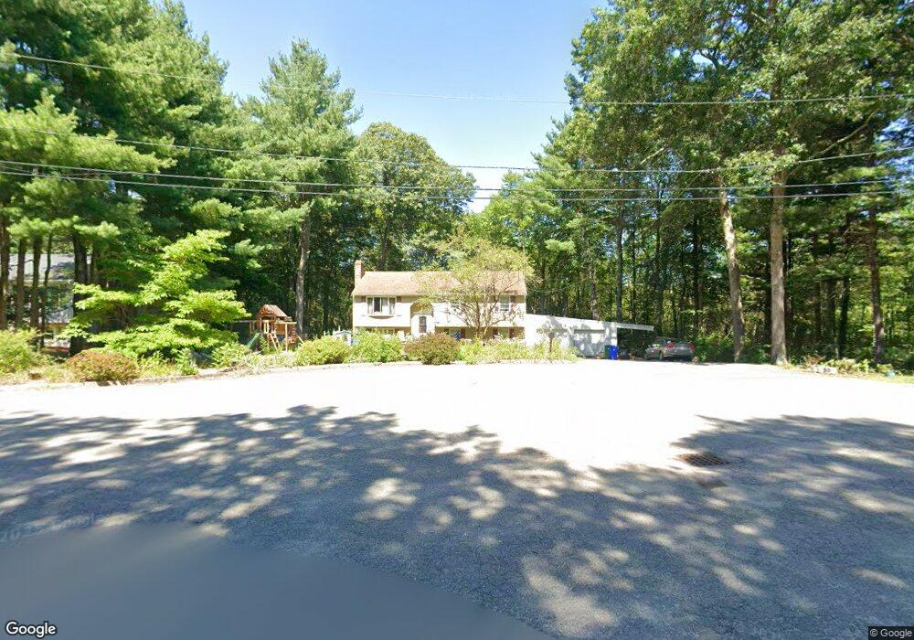
10 Roadway b Attleboro, MA 02703
Estimated Value: $557,000 - $659,000
3
Beds
2
Baths
1,132
Sq Ft
$533/Sq Ft
Est. Value
About This Home
This home is located at 10 Roadway b, Attleboro, MA 02703 and is currently estimated at $603,190, approximately $532 per square foot. 10 Roadway b is a home located in Bristol County with nearby schools including Thomas E. Willett School, Cyril K. Brennan Middle School, and Attleboro High School.
Ownership History
Date
Name
Owned For
Owner Type
Purchase Details
Closed on
Jul 31, 2008
Sold by
Pell Robert and Pell Susan
Bought by
Lafountain Philip N and Lafountain Rhodora M
Current Estimated Value
Home Financials for this Owner
Home Financials are based on the most recent Mortgage that was taken out on this home.
Original Mortgage
$275,500
Interest Rate
6.47%
Mortgage Type
Purchase Money Mortgage
Purchase Details
Closed on
Aug 18, 1999
Sold by
Lally Michael F and Lally Kristin M
Bought by
Pell Robert and Pell Susan
Home Financials for this Owner
Home Financials are based on the most recent Mortgage that was taken out on this home.
Original Mortgage
$139,920
Interest Rate
7.6%
Mortgage Type
Purchase Money Mortgage
Purchase Details
Closed on
Mar 30, 1994
Sold by
Flynn William E and Flynn Paula D
Bought by
Lally Michael F and Haney Kristin M
Home Financials for this Owner
Home Financials are based on the most recent Mortgage that was taken out on this home.
Original Mortgage
$70,000
Interest Rate
7.07%
Mortgage Type
Purchase Money Mortgage
Create a Home Valuation Report for This Property
The Home Valuation Report is an in-depth analysis detailing your home's value as well as a comparison with similar homes in the area
Home Values in the Area
Average Home Value in this Area
Purchase History
| Date | Buyer | Sale Price | Title Company |
|---|---|---|---|
| Lafountain Philip N | $290,000 | -- | |
| Pell Robert | $174,900 | -- | |
| Lally Michael F | $145,000 | -- |
Source: Public Records
Mortgage History
| Date | Status | Borrower | Loan Amount |
|---|---|---|---|
| Open | Lally Michael F | $281,801 | |
| Closed | Lafountain Philip N | $275,500 | |
| Previous Owner | Lally Michael F | $139,920 | |
| Previous Owner | Lally Michael F | $70,000 |
Source: Public Records
Tax History
| Year | Tax Paid | Tax Assessment Tax Assessment Total Assessment is a certain percentage of the fair market value that is determined by local assessors to be the total taxable value of land and additions on the property. | Land | Improvement |
|---|---|---|---|---|
| 2025 | $5,762 | $459,100 | $174,300 | $284,800 |
| 2024 | $5,531 | $434,500 | $156,900 | $277,600 |
| 2023 | $5,436 | $397,100 | $158,500 | $238,600 |
| 2022 | $5,183 | $358,700 | $151,100 | $207,600 |
| 2021 | $4,774 | $322,600 | $145,300 | $177,300 |
| 2020 | $4,483 | $307,900 | $138,700 | $169,200 |
| 2019 | $4,242 | $299,600 | $136,100 | $163,500 |
| 2018 | $4,090 | $276,000 | $132,100 | $143,900 |
| 2017 | $3,975 | $273,200 | $128,700 | $144,500 |
| 2016 | $3,829 | $258,400 | $120,100 | $138,300 |
| 2015 | $3,780 | $257,000 | $120,100 | $136,900 |
| 2014 | $3,628 | $244,300 | $114,900 | $129,400 |
Source: Public Records
Map
Nearby Homes
- 49 Pheasant Hill Rd
- 21 Shady Ln
- 65 Sperry Ln
- 263 Mansfield Rd
- 26 Revere Terrace
- 361 Richardson Ave
- 19 Quincy Way
- 678 N Main St
- 150 John L Dietsch Blvd
- 174 Gilbert St
- 147 Commonwealth Ave
- 12 Sherman St
- 160 Otis St
- 44 Benjamin Dr
- 41 Flora Rd
- 55 Benjamin Dr
- 210 Oakridge Ave
- 75 Benefit St
- 14 Claire Ave
- 28 Deanville Rd
Your Personal Tour Guide
Ask me questions while you tour the home.