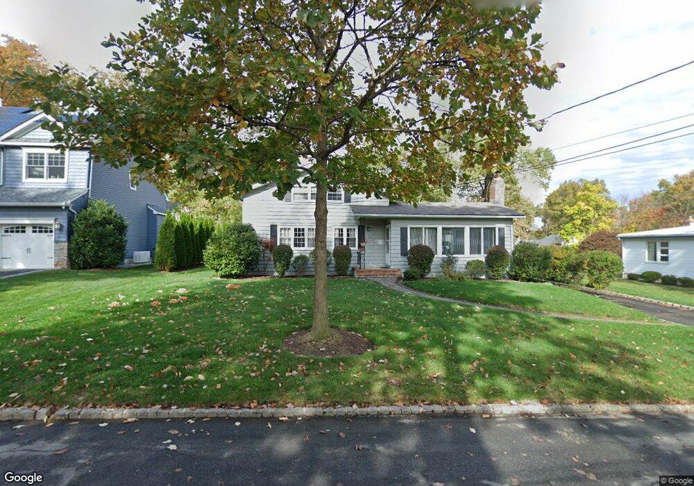
10 Sheridan Rd Summit, NJ 07901
Estimated Value: $910,475 - $1,521,000
Studio
--
Bath
1,983
Sq Ft
$666/Sq Ft
Est. Value
About This Home
This home is located at 10 Sheridan Rd, Summit, NJ 07901 and is currently estimated at $1,321,619, approximately $666 per square foot. 10 Sheridan Rd is a home located in Union County with nearby schools including L C Johnson Summit Middle School, Summit Sr High School, and Kent Place School.
Ownership History
Date
Name
Owned For
Owner Type
Purchase Details
Closed on
Dec 17, 1998
Sold by
Yannakakis Mihalis and Yannakakis Elena
Bought by
Scott Larry and Scott Cynthia A
Current Estimated Value
Home Financials for this Owner
Home Financials are based on the most recent Mortgage that was taken out on this home.
Original Mortgage
$180,000
Outstanding Balance
$41,099
Interest Rate
6.84%
Mortgage Type
Stand Alone First
Estimated Equity
$1,280,520
Create a Home Valuation Report for This Property
The Home Valuation Report is an in-depth analysis detailing your home's value as well as a comparison with similar homes in the area
Home Values in the Area
Average Home Value in this Area
Purchase History
| Date | Buyer | Sale Price | Title Company |
|---|---|---|---|
| Scott Larry | $305,000 | Lawyers Title Insurance Corp |
Source: Public Records
Mortgage History
| Date | Status | Borrower | Loan Amount |
|---|---|---|---|
| Open | Scott Larry | $180,000 |
Source: Public Records
Tax History
| Year | Tax Paid | Tax Assessment Tax Assessment Total Assessment is a certain percentage of the fair market value that is determined by local assessors to be the total taxable value of land and additions on the property. | Land | Improvement |
|---|---|---|---|---|
| 2025 | $10,785 | $247,600 | $142,600 | $105,000 |
| 2024 | $10,714 | $247,600 | $142,600 | $105,000 |
| 2023 | $10,714 | $247,600 | $142,600 | $105,000 |
| 2022 | $10,605 | $247,600 | $142,600 | $105,000 |
| 2021 | $10,689 | $247,600 | $142,600 | $105,000 |
| 2020 | $10,795 | $247,600 | $142,600 | $105,000 |
| 2019 | $10,808 | $247,600 | $142,600 | $105,000 |
| 2018 | $10,738 | $247,600 | $142,600 | $105,000 |
| 2017 | $10,808 | $247,600 | $142,600 | $105,000 |
| 2016 | $10,649 | $247,600 | $142,600 | $105,000 |
| 2015 | $10,441 | $247,600 | $142,600 | $105,000 |
| 2014 | $10,171 | $247,600 | $142,600 | $105,000 |
Source: Public Records
Map
Nearby Homes
- 128 Canoe Brook Pkwy
- 25 Bedford Rd
- 20 Edgar St
- 49 Norwood Ave
- 107 Kent Place Blvd
- 76 Woodland Ave
- 275 Woodland Ave
- 215 Kent Place Blvd
- 8 Dunnder Dr
- 59 New England Ave Unit 5
- 44 Canoe Brook Pkwy
- 23 Euclid Ave
- 11 Euclid Ave Unit 4D
- 14 Euclid Ave Unit 102
- 1 Euclid Ave Unit 3B
- 000 River Rd
- 55 River Rd
- 16 Fairview Ave
- 26 Pihlman Place
- 42 Locust Dr
Your Personal Tour Guide
Ask me questions while you tour the home.