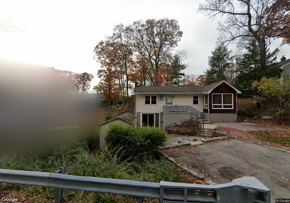
10 Skytop Rd Andover, NJ 07821
Estimated Value: $553,000 - $704,000
About This Home
This home is located at 10 Skytop Rd, Andover, NJ 07821 and is currently estimated at $642,811, approximately $449 per square foot. 10 Skytop Rd is a home located in Sussex County with nearby schools including Hudson Maxim Elementary School, Durban Avenue Elementary School, and Tulsa Trail Elementary School.
Ownership History
We collect this data history from publicly available records. To have your information removed, we recommend requesting removal directly through your county’s website.
Purchase Details
Purchase Details
Purchase Details
Home Values in the Area
Average Home Value in this Area
Purchase History
We collect this data history from publicly available records. To have your information removed, we recommend requesting removal directly through your county’s website.
| Date | Buyer | Sale Price | Title Company |
|---|---|---|---|
| $300,000 | Old Republic Title | ||
| -- | None Available | ||
| -- | -- |
Tax History
We collect this data history from publicly available records. To have your information removed, we recommend requesting removal directly through your county’s website.
| Year | Tax Paid | Tax Assessment Tax Assessment Total Assessment is a certain percentage of the fair market value that is determined by local assessors to be the total taxable value of land and additions on the property. | Land | Improvement |
|---|---|---|---|---|
| 2025 | $14,537 | $656,600 | $414,200 | $242,400 |
| 2024 | $14,787 | $656,600 | $414,200 | $242,400 |
| 2023 | $14,787 | $422,600 | $288,400 | $134,200 |
| 2022 | $14,495 | $422,600 | $288,400 | $134,200 |
| 2021 | $14,250 | $422,600 | $288,400 | $134,200 |
| 2020 | $14,102 | $422,600 | $288,400 | $134,200 |
| 2019 | $14,043 | $422,600 | $288,400 | $134,200 |
| 2018 | $14,013 | $422,600 | $288,400 | $134,200 |
| 2017 | $13,992 | $422,600 | $288,400 | $134,200 |
| 2016 | $14,022 | $422,600 | $288,400 | $134,200 |
| 2015 | $13,455 | $422,600 | $288,400 | $134,200 |
| 2014 | $13,408 | $422,600 | $288,400 | $134,200 |
Map
- 1 Dorel Rd
- 30 Oakdale Ave
- 543 Lakeside Ave
- 18 Oakdale Ave
- 10 Oakdale Ave
- 5 Coulter Place
- 432 Lakeside Ave
- 29 Air Castle Isle
- 21 Skyline Dr
- 9 Cox Ln
- 208 Maxim Dr
- 00 Forest Rd
- 330A Lakeside Ave
- 7 Raccoon Island Rd
- 47 Indian Trail
- 308 Lakeside Ave
- 34 Isabelle Ave
- 8 Papoose Trail
- 14 Marshall Trail
- 48 Alexandria Ave
Ask me questions while you tour the home.