10 Spindrift Ln Wareham, MA 02571
Estimated Value: $435,000 - $588,000
3
Beds
2
Baths
1,100
Sq Ft
$459/Sq Ft
Est. Value
About This Home
This home is located at 10 Spindrift Ln, Wareham, MA 02571 and is currently estimated at $504,554, approximately $458 per square foot. 10 Spindrift Ln is a home located in Plymouth County.
Ownership History
Date
Name
Owned For
Owner Type
Purchase Details
Closed on
Apr 30, 2018
Sold by
Mann Michael F and Mann Richard T
Bought by
Mann David and Mann Lee A
Current Estimated Value
Home Financials for this Owner
Home Financials are based on the most recent Mortgage that was taken out on this home.
Original Mortgage
$50,000
Outstanding Balance
$43,755
Interest Rate
5.5%
Mortgage Type
FHA
Estimated Equity
$460,799
Purchase Details
Closed on
Jun 20, 2003
Sold by
Mann Eliot T and Mann Eliot Thomas
Bought by
Mann Eliot T and Mann Frances E
Create a Home Valuation Report for This Property
The Home Valuation Report is an in-depth analysis detailing your home's value as well as a comparison with similar homes in the area
Purchase History
| Date | Buyer | Sale Price | Title Company |
|---|---|---|---|
| Mann David | $200,000 | -- | |
| Mann David | $200,000 | -- | |
| Mann Michael F | -- | -- | |
| Mann Michael F | -- | -- | |
| Mann Eliot T | -- | -- | |
| Mann Eliot T | -- | -- |
Source: Public Records
Mortgage History
| Date | Status | Borrower | Loan Amount |
|---|---|---|---|
| Open | Mann David | $50,000 | |
| Closed | Mann David | $50,000 |
Source: Public Records
Tax History
| Year | Tax Paid | Tax Assessment Tax Assessment Total Assessment is a certain percentage of the fair market value that is determined by local assessors to be the total taxable value of land and additions on the property. | Land | Improvement |
|---|---|---|---|---|
| 2025 | $3,997 | $383,600 | $137,000 | $246,600 |
| 2024 | $3,972 | $353,700 | $109,700 | $244,000 |
| 2023 | $3,777 | $314,000 | $100,100 | $213,900 |
| 2022 | $3,332 | $252,800 | $91,900 | $160,900 |
| 2021 | $3,206 | $238,400 | $91,900 | $146,500 |
| 2020 | $3,161 | $238,400 | $91,900 | $146,500 |
| 2019 | $2,988 | $224,800 | $91,300 | $133,500 |
| 2018 | $2,978 | $218,500 | $91,300 | $127,200 |
| 2017 | $2,795 | $207,800 | $91,300 | $116,500 |
| 2016 | $2,651 | $195,900 | $87,300 | $108,600 |
| 2015 | $2,320 | $177,500 | $87,300 | $90,200 |
| 2014 | $2,632 | $204,800 | $95,200 | $109,600 |
Source: Public Records
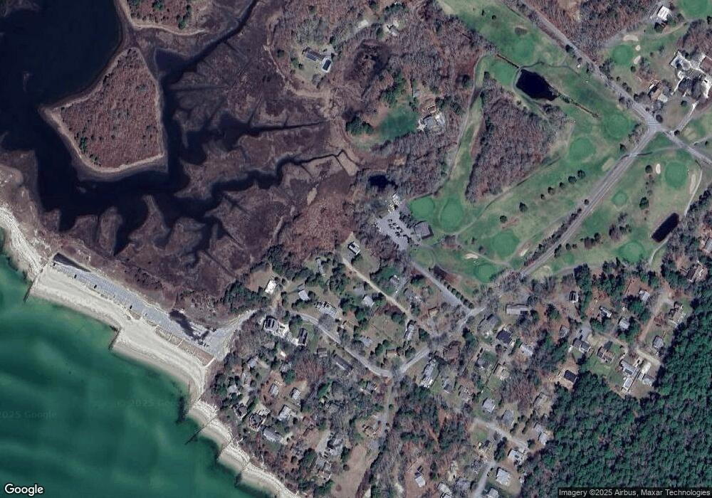
Map
Nearby Homes
- 200 Great Neck Rd
- 8 Over Jordan Rd
- 65 Great Neck Rd
- 14 Over Jordan Rd
- 10 Beacon St Unit 83
- 11 10th St
- 0 Squaw's Path
- 10 East Blvd
- 10 East Blvd
- 19 Maple St
- 3 Carleton St Unit 3
- 20 Evergreen St
- 20 Evergreen St
- 32 Carleton St Unit 32
- 29 Carleton St Unit 29
- 35 Locust St
- 35 Locust St
- 391 Onset Ave
- 22 Bay View Ave
- 12 Mason Street Extension
- 0 Spindrift Ln
- 3 Spindrift Ln
- 14 Spindrift Ln
- 7 Spindrift Ln
- 23 Little Harbor Rd
- 21 Little Harbor Rd
- 19 Little Harbor Rd
- 16 Spindrift Ln
- 2 Spindrift Ln
- 17 Little Harbor Rd
- 13 Little Harbor Rd
- 2 Beach Plum Ln
- 11 Little Harbor Rd
- 3 Look Out Ln
- 15 Little Harbor Rd
- 15 Little Harbor Rd Unit Winter
- 1 Beach Plum Ln
- 1 Look Out Ln
- 3 Beach Plum Ln
- 4 Beach Plum Ln
Your Personal Tour Guide
Ask me questions while you tour the home.