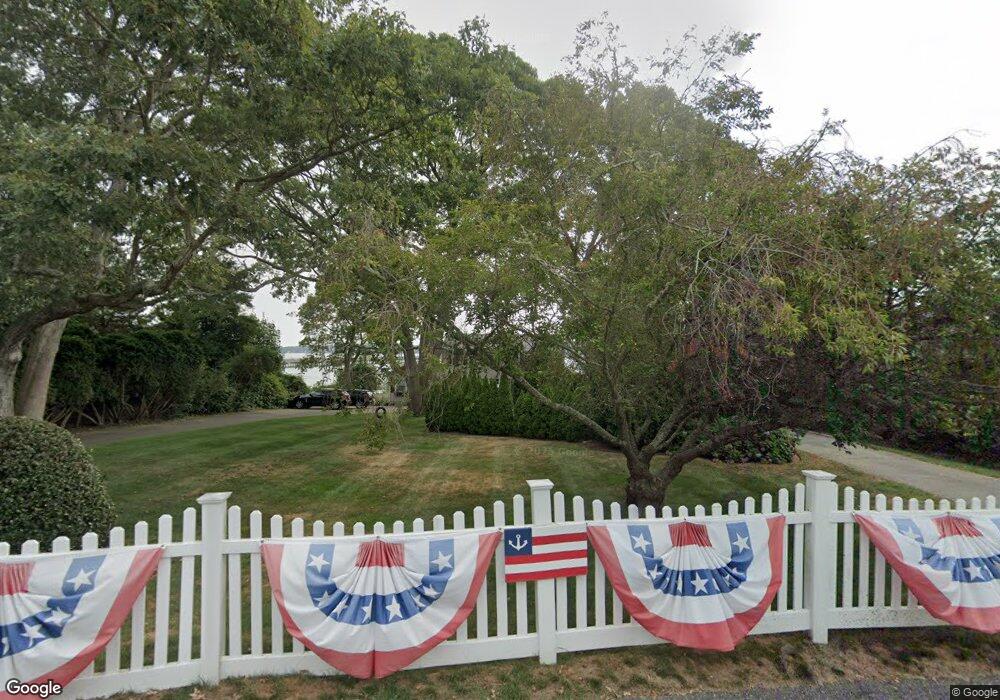
10 Spring St Saunderstown, RI 02874
Saunderstown NeighborhoodEstimated Value: $1,984,000 - $3,061,000
About This Home
This home is located at 10 Spring St, Saunderstown, RI 02874 and is currently estimated at $2,477,194, approximately $749 per square foot. 10 Spring St is a home located in Washington County with nearby schools including Hamilton Elementary School, Wickford Middle School, and North Kingstown Sr. High School.
Ownership History
We collect this data history from publicly available records. To have your information removed, we recommend requesting removal directly through your county’s website.
Purchase Details
Home Financials for this Owner
Home Financials are based on the most recent Mortgage that was taken out on this home.Purchase Details
Purchase Details
Home Financials for this Owner
Home Financials are based on the most recent Mortgage that was taken out on this home.Home Values in the Area
Average Home Value in this Area
Purchase History
We collect this data history from publicly available records. To have your information removed, we recommend requesting removal directly through your county’s website.
| Date | Buyer | Sale Price | Title Company |
|---|---|---|---|
| -- | None Available | ||
| -- | None Available | ||
| -- | -- | ||
| -- | -- | ||
| $431,000 | -- | ||
| $431,000 | -- |
Mortgage History
We collect this data history from publicly available records. To have your information removed, we recommend requesting removal directly through your county’s website.
| Date | Status | Borrower | Loan Amount |
|---|---|---|---|
| Open | $510,000 | ||
| Closed | $510,000 | ||
| Previous Owner | $150,000 | ||
| Previous Owner | $190,000 |
Tax History
We collect this data history from publicly available records. To have your information removed, we recommend requesting removal directly through your county’s website.
| Year | Tax Paid | Tax Assessment Tax Assessment Total Assessment is a certain percentage of the fair market value that is determined by local assessors to be the total taxable value of land and additions on the property. | Land | Improvement |
|---|---|---|---|---|
| 2025 | $23,798 | $2,155,600 | $1,623,800 | $531,800 |
| 2024 | $21,943 | $1,530,200 | $1,136,100 | $394,100 |
| 2023 | $21,943 | $1,530,200 | $1,136,100 | $394,100 |
| 2022 | $21,515 | $1,530,200 | $1,136,100 | $394,100 |
| 2021 | $21,107 | $1,206,100 | $873,100 | $333,000 |
| 2020 | $20,612 | $1,206,100 | $873,100 | $333,000 |
| 2019 | $20,612 | $1,206,100 | $873,100 | $333,000 |
| 2018 | $22,961 | $1,210,400 | $954,900 | $255,500 |
| 2017 | $22,501 | $1,210,400 | $954,900 | $255,500 |
| 2016 | $21,860 | $1,210,400 | $954,900 | $255,500 |
| 2015 | $21,500 | $1,114,000 | $886,700 | $227,300 |
| 2014 | $21,066 | $1,114,000 | $886,700 | $227,300 |
Map
- 5 Curtis Rd
- 170 Lloyd Rd
- 16 Triton Dr
- 100 Snuff Mill Rd
- 129 Seaside Dr
- 94 Spindrift St
- 213 Seaside Dr
- 13 Starboard Ave
- 2 Scull St
- 40 Web Ave Unit 217
- 40 Web Ave Unit 11
- 11 Johnson Ave
- 110 Sea View Ave
- 5 Buoy St
- 41 Buena Vista Dr
- 503 Seaside Dr
- 2180 Tower Hill Rd
- 19 Waldron Ave
- 7 Winterberry Rd
- 585 Seaside Dr
Ask me questions while you tour the home.