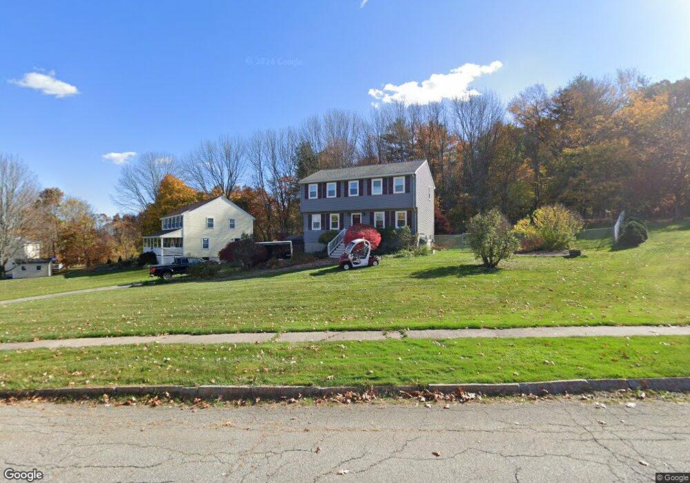
10 Stacey Ln Amesbury, MA 01913
Estimated Value: $679,000 - $768,000
3
Beds
2
Baths
1,700
Sq Ft
$422/Sq Ft
Est. Value
About This Home
This home is located at 10 Stacey Ln, Amesbury, MA 01913 and is currently estimated at $718,108, approximately $422 per square foot. 10 Stacey Ln is a home located in Essex County with nearby schools including Amesbury High School and Amesbury Seventh-Day Adventist School.
Ownership History
Date
Name
Owned For
Owner Type
Purchase Details
Closed on
Dec 3, 1993
Sold by
Stanichuk Ricky C
Bought by
Mccarthy Timothy D and Mcwhinnie Brenda J
Current Estimated Value
Create a Home Valuation Report for This Property
The Home Valuation Report is an in-depth analysis detailing your home's value as well as a comparison with similar homes in the area
Home Values in the Area
Average Home Value in this Area
Purchase History
We collect this data history from publicly available records. To have your information removed, we recommend requesting removal directly through your county’s website.
| Date | Buyer | Sale Price | Title Company |
|---|---|---|---|
| Mccarthy Timothy D | $145,000 | -- |
Source: Public Records
Mortgage History
We collect this data history from publicly available records. To have your information removed, we recommend requesting removal directly through your county’s website.
| Date | Status | Borrower | Loan Amount |
|---|---|---|---|
| Open | Mccarthy Timothy D | $280,000 | |
| Closed | Mccarthy Timothy D | $40,000 | |
| Closed | Mccarthy Timothy D | $213,000 | |
| Closed | Mccarthy Timothy D | $188,500 |
Source: Public Records
Tax History
| Year | Tax Paid | Tax Assessment Tax Assessment Total Assessment is a certain percentage of the fair market value that is determined by local assessors to be the total taxable value of land and additions on the property. | Land | Improvement |
|---|---|---|---|---|
| 2025 | $9,536 | $623,300 | $293,200 | $330,100 |
| 2024 | $9,106 | $582,200 | $276,600 | $305,600 |
| 2023 | $8,477 | $518,800 | $240,600 | $278,200 |
| 2022 | $8,084 | $457,000 | $209,300 | $247,700 |
| 2021 | $7,373 | $404,000 | $168,600 | $235,400 |
| 2020 | $6,554 | $381,500 | $162,100 | $219,400 |
| 2019 | $6,698 | $364,600 | $162,100 | $202,500 |
| 2018 | $6,586 | $346,800 | $154,400 | $192,400 |
| 2017 | $6,779 | $339,800 | $154,400 | $185,400 |
| 2016 | $6,644 | $327,600 | $154,400 | $173,200 |
| 2015 | $6,548 | $318,800 | $154,400 | $164,400 |
| 2014 | $6,427 | $306,500 | $154,400 | $152,100 |
Source: Public Records
Map
Nearby Homes
- 1 Brown Ave Unit 41
- 6 Clinton St
- 26 Arlington St
- 63 S Hampton Rd
- 1 Union Ct Unit 1
- 18 Prospect St
- 10 Congress St Unit 301
- 10 Congress St Unit 302
- 49 Orchard St
- 5 Union St
- 30 Orchard St
- 1 Union St
- 7 Winter St Unit D
- 7 Winter St Unit B
- 3 1/2 Orchard St
- 25 Pond St Unit 210
- 81 High St Unit 9
- 75 Main St Unit G (#104)
- 6 Monroe St
- 88 Whitehall Rd
Your Personal Tour Guide
Ask me questions while you tour the home.