10 Summit Ave Holyoke, MA 01040
Estimated Value: $364,410 - $439,000
4
Beds
2
Baths
3,001
Sq Ft
$132/Sq Ft
Est. Value
About This Home
This home is located at 10 Summit Ave, Holyoke, MA 01040 and is currently estimated at $395,853, approximately $131 per square foot. 10 Summit Ave is a home located in Hampden County with nearby schools including Maurice A. Donahue Elementary School, Holyoke High School, and First Lutheran Christian School.
Ownership History
Date
Name
Owned For
Owner Type
Purchase Details
Closed on
Dec 23, 2019
Sold by
Olender Edward and Olender Nina
Bought by
Olender Nina
Current Estimated Value
Purchase Details
Closed on
Aug 9, 2002
Sold by
Delaney House Llp and Page George W
Bought by
Delaney House Llc
Home Financials for this Owner
Home Financials are based on the most recent Mortgage that was taken out on this home.
Original Mortgage
$1,617,645
Interest Rate
6.58%
Create a Home Valuation Report for This Property
The Home Valuation Report is an in-depth analysis detailing your home's value as well as a comparison with similar homes in the area
Home Values in the Area
Average Home Value in this Area
Purchase History
| Date | Buyer | Sale Price | Title Company |
|---|---|---|---|
| Olender Nina | $200,000 | None Available | |
| Delaney House Llc | $10,900,000 | -- |
Source: Public Records
Mortgage History
| Date | Status | Borrower | Loan Amount |
|---|---|---|---|
| Previous Owner | Delaney House Llc | $1,617,645 | |
| Previous Owner | Delaney House Llc | $6,650,000 | |
| Previous Owner | Delaney House Llc | $350,000 |
Source: Public Records
Tax History
| Year | Tax Paid | Tax Assessment Tax Assessment Total Assessment is a certain percentage of the fair market value that is determined by local assessors to be the total taxable value of land and additions on the property. | Land | Improvement |
|---|---|---|---|---|
| 2025 | $4,994 | $286,000 | $53,200 | $232,800 |
| 2024 | $4,963 | $261,900 | $50,800 | $211,100 |
| 2023 | $4,735 | $252,400 | $50,800 | $201,600 |
| 2022 | $4,543 | $235,900 | $50,800 | $185,100 |
| 2021 | $4,340 | $225,200 | $46,300 | $178,900 |
| 2020 | $4,104 | $215,100 | $46,300 | $168,800 |
| 2019 | $4,034 | $209,100 | $46,300 | $162,800 |
| 2018 | $3,866 | $200,600 | $46,300 | $154,300 |
| 2017 | $3,846 | $200,600 | $46,300 | $154,300 |
| 2016 | $3,822 | $199,900 | $47,600 | $152,300 |
| 2015 | $3,793 | $199,200 | $47,600 | $151,600 |
Source: Public Records
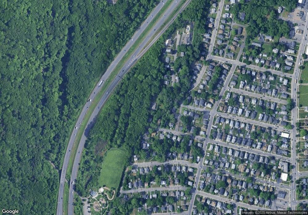
Map
Nearby Homes
- 21 Francis Ave
- 1705-1707 Northampton St
- 15 Chapman Ave
- 2 Homestead Ave
- 3 Homestead Ave
- 1 Homestead Ave
- 1225 Hampden St
- 32 Maple Crest Cir Unit G
- 1022-1024 Hampden St
- 301-303 Linden St
- 68 Fairfield Ave
- 77 Locust St
- 129 Morgan St
- 225-227 Beech St
- 15-17 Oconnor Ave
- 391 Pleasant St
- 42 Lawler St
- 275 Suffolk St
- 67-69 Longwood Ave
- 16 Washington Ave
- 9 Alto St
- 107 Brookline Ave
- 97-99 Brookline Ave Unit 2
- 97-99 Brookline Ave Unit 1
- 97-99 Brookline Ave
- 97 Brookline Ave Unit 99
- 97 Brookline Ave Unit 2
- 97 Brookline Ave Unit 3
- 51 Raymond Ave
- 67 Francis Ave
- 87 Brookline Ave
- 49 Raymond Ave
- Lot 3 Raymond Ave
- 78 Belvidere Ave
- 50 Raymond Ave
- 73 Belvidere Ave Unit 75
- 73-75 Belvidere Ave
- 104 Brookline Ave
- 79 Brookline Ave
- 100 Brookline Ave
Your Personal Tour Guide
Ask me questions while you tour the home.