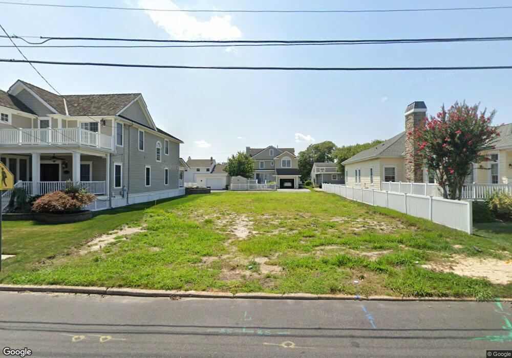
10 Walnut Rd Ocean City, NJ 08226
Estimated Value: $1,744,000 - $4,813,000
5
Beds
6
Baths
1,062
Sq Ft
$3,024/Sq Ft
Est. Value
About This Home
This home is located at 10 Walnut Rd, Ocean City, NJ 08226 and is currently estimated at $3,211,130, approximately $3,023 per square foot. 10 Walnut Rd is a home located in Cape May County with nearby schools including Ocean City Primary School, Ocean City Intermediate School, and Ocean City High School.
Ownership History
Date
Name
Owned For
Owner Type
Purchase Details
Closed on
Aug 8, 2025
Sold by
Gigliotti Ronald and Gigliotti Carol
Bought by
Ronald D Gigliotti Living Trust and Gigliotti
Current Estimated Value
Purchase Details
Closed on
Dec 27, 2022
Sold by
Stanert Nancy F
Bought by
Gigliotti Ronald and Gigliotti Carol
Purchase Details
Closed on
Jun 27, 1991
Sold by
Mccusker Joseph A and Mccusker Dorothy G
Bought by
Stanert Arthur J and Stanert Nancy F
Create a Home Valuation Report for This Property
The Home Valuation Report is an in-depth analysis detailing your home's value as well as a comparison with similar homes in the area
Home Values in the Area
Average Home Value in this Area
Purchase History
| Date | Buyer | Sale Price | Title Company |
|---|---|---|---|
| Ronald D Gigliotti Living Trust | -- | None Listed On Document | |
| Ronald D Gigliotti Living Trust | -- | None Listed On Document | |
| Gigliotti Ronald | $8,300 | Freedom Title | |
| Stanert Arthur J | $125,000 | -- | |
| Stanert Arthur J | $125,000 | -- |
Source: Public Records
Tax History
| Year | Tax Paid | Tax Assessment Tax Assessment Total Assessment is a certain percentage of the fair market value that is determined by local assessors to be the total taxable value of land and additions on the property. | Land | Improvement |
|---|---|---|---|---|
| 2025 | $4,376 | $1,735,300 | $390,000 | $1,345,300 |
| 2024 | $4,376 | $390,000 | $390,000 | $0 |
Source: Public Records
Map
Nearby Homes
- 12 Walnut Rd
- 6 Walnut Rd
- 39 Spruce Rd
- 26 Michigan Ave
- 38 Arkansas Ave
- 4 Grenada Ln
- 2044 Haven Ave
- 19 Grenada Ln
- 1962 West Ave
- 16 Grenada Ln
- 2020 West Ave
- 165 Bayshore Dr
- 55 Walnut Rd
- 1922 Asbury Ave Unit 2nd Floor
- 1915 Asbury Ave Unit 2
- 1 Leyte Ln
- 2029 Asbury Ave
- 1908 Central Ave Unit 1
- 117 W 17th St
- 1917 Central Ave Unit 1st Floor
Your Personal Tour Guide
Ask me questions while you tour the home.