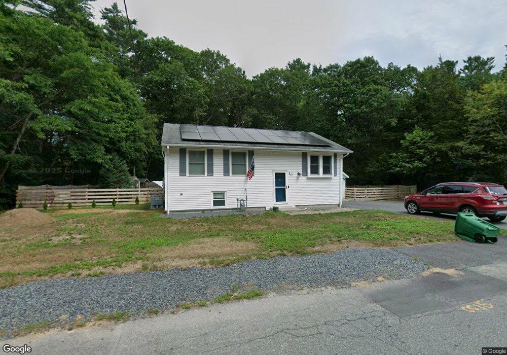
10 Yale Rd Pembroke, MA 02359
Estimated Value: $558,506 - $597,000
About This Home
This home is located at 10 Yale Rd, Pembroke, MA 02359 and is currently estimated at $583,127, approximately $606 per square foot. 10 Yale Rd is a home located in Plymouth County with nearby schools including Pembroke High School.
Ownership History
We collect this data history from publicly available records. To have your information removed, we recommend requesting removal directly through your county’s website.
Purchase Details
Home Financials for this Owner
Home Financials are based on the most recent Mortgage that was taken out on this home.Purchase Details
Purchase Details
Home Financials for this Owner
Home Financials are based on the most recent Mortgage that was taken out on this home.Purchase Details
Purchase Details
Purchase History
We collect this data history from publicly available records. To have your information removed, we recommend requesting removal directly through your county’s website.
| Date | Buyer | Sale Price | Title Company |
|---|---|---|---|
| -- | None Available | ||
| -- | None Available | ||
| -- | None Available | ||
| -- | None Available | ||
| $326,000 | -- | ||
| $326,000 | -- | ||
| $180,000 | -- | ||
| $180,000 | -- | ||
| $125,000 | -- | ||
| $125,000 | -- |
Mortgage History
We collect this data history from publicly available records. To have your information removed, we recommend requesting removal directly through your county’s website.
| Date | Status | Borrower | Loan Amount |
|---|---|---|---|
| Open | $393,750 | ||
| Closed | $393,750 | ||
| Previous Owner | $260,800 | ||
| Previous Owner | $65,200 |
Tax History
We collect this data history from publicly available records. To have your information removed, we recommend requesting removal directly through your county’s website.
| Year | Tax Paid | Tax Assessment Tax Assessment Total Assessment is a certain percentage of the fair market value that is determined by local assessors to be the total taxable value of land and additions on the property. | Land | Improvement |
|---|---|---|---|---|
| 2025 | $5,850 | $486,700 | $264,300 | $222,400 |
| 2024 | $5,536 | $460,200 | $249,400 | $210,800 |
| 2023 | $5,653 | $444,400 | $249,400 | $195,000 |
| 2022 | $5,169 | $365,300 | $204,100 | $161,200 |
| 2021 | $5,034 | $345,300 | $194,700 | $150,600 |
| 2020 | $4,877 | $336,600 | $186,000 | $150,600 |
| 2019 | $4,773 | $326,900 | $181,300 | $145,600 |
| 2018 | $4,419 | $296,800 | $164,400 | $132,400 |
| 2017 | $4,347 | $287,900 | $155,500 | $132,400 |
| 2016 | $4,258 | $279,000 | $146,600 | $132,400 |
| 2015 | $3,822 | $259,300 | $133,100 | $126,200 |
Map
- 61 Chapel St
- 65 Chapel St
- 600 Summer St Unit 17
- 216 Autumn Ave
- 117 Pelham St
- 71 Valley St
- 164 Forest St
- 55 Union Bridge Rd
- 249 High St
- 254 Kingstown Way
- 411 High St
- 20 Lewis Farm Rd
- 50 Lewis Farm Rd
- 6 Station St
- 4 Green Holly Dr
- 21 Forest St
- 459 Union Bridge Rd
- 1 Sycamore Dr
- 52 Plain St
- 7 Barbara Rd
Ask me questions while you tour the home.