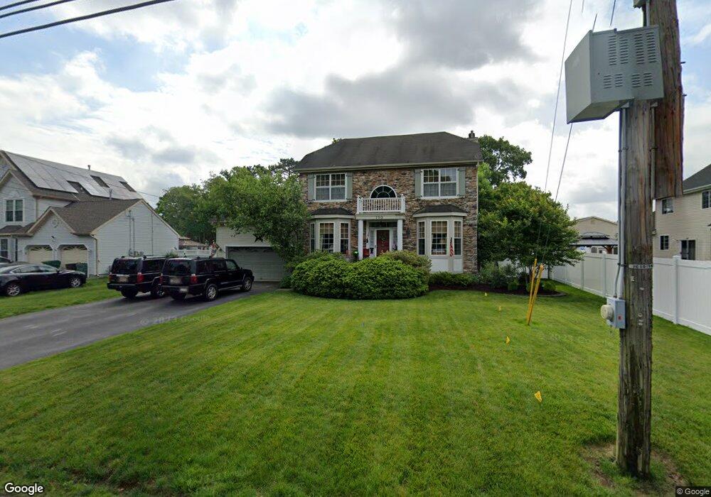
100 Commonwealth Blvd Manchester, NJ 08759
Estimated Value: $573,000 - $647,000
3
Beds
3
Baths
1,720
Sq Ft
$362/Sq Ft
Est. Value
About This Home
This home is located at 100 Commonwealth Blvd, Manchester, NJ 08759 and is currently estimated at $622,172, approximately $361 per square foot. 100 Commonwealth Blvd is a home located in Ocean County with nearby schools including Manchester Township High School.
Ownership History
Date
Name
Owned For
Owner Type
Purchase Details
Closed on
Jun 17, 2002
Current Estimated Value
Purchase Details
Closed on
Jun 13, 2000
Sold by
M G H Group
Bought by
Bruno Christopher
Home Financials for this Owner
Home Financials are based on the most recent Mortgage that was taken out on this home.
Original Mortgage
$152,000
Interest Rate
8.48%
Create a Home Valuation Report for This Property
The Home Valuation Report is an in-depth analysis detailing your home's value as well as a comparison with similar homes in the area
Home Values in the Area
Average Home Value in this Area
Purchase History
| Date | Buyer | Sale Price | Title Company |
|---|---|---|---|
| -- | $240,000 | -- | |
| Bruno Christopher | $173,000 | -- |
Source: Public Records
Mortgage History
| Date | Status | Borrower | Loan Amount |
|---|---|---|---|
| Previous Owner | Bruno Christopher | $152,000 |
Source: Public Records
Tax History
| Year | Tax Paid | Tax Assessment Tax Assessment Total Assessment is a certain percentage of the fair market value that is determined by local assessors to be the total taxable value of land and additions on the property. | Land | Improvement |
|---|---|---|---|---|
| 2025 | $8,011 | $550,600 | $276,500 | $274,100 |
| 2024 | $6,706 | $287,800 | $73,000 | $214,800 |
| 2023 | $6,375 | $287,800 | $73,000 | $214,800 |
| 2022 | $6,375 | $287,800 | $73,000 | $214,800 |
| 2021 | $6,237 | $287,800 | $73,000 | $214,800 |
| 2020 | $6,073 | $287,800 | $73,000 | $214,800 |
| 2019 | $6,849 | $267,000 | $78,000 | $189,000 |
| 2018 | $6,822 | $267,000 | $78,000 | $189,000 |
| 2017 | $6,849 | $267,000 | $78,000 | $189,000 |
| 2016 | $6,766 | $267,000 | $78,000 | $189,000 |
| 2015 | $6,640 | $267,000 | $78,000 | $189,000 |
| 2014 | $6,504 | $267,000 | $78,000 | $189,000 |
Source: Public Records
Map
Nearby Homes
- 201 Commonwealth Blvd
- 201 10th Ave
- 125 10th Ave
- 1991 Route 37 W Unit 112
- 95 Savannah Rd
- 319 Savannah Rd
- 333 Savannah Rd
- 107 West Ave
- 13 Laketree Ct
- 891B Stratford Ct Unit B
- 1991 New Jersey 37 Unit 113
- 873B Liverpool Cir Unit 873B
- 914A Liverpool Cir
- 1881 Route 37 W Unit 353
- 1881 Route 37 W Unit 264
- 799A Westminster Ct Unit 799A
- 600 Lawrence Ave
- 826B Liverpool Cir
- 949A Liverpool Cir
- 641 Seventh Ave
- 150 Commonwealth Blvd
- 1 Hillside Dr
- 149 10th Ave
- 180 Commonwealth Blvd
- 25 Hillside Dr
- 71 Commonwealth Blvd
- 173 10th Ave
- 200 Commonwealth Blvd
- 74 1st St
- 230 Commonwealth Blvd
- 100 10th Ave
- 124 10th Ave
- 231 10th Ave
- 148 10th Ave
- 66 1st St
- 56 2nd St
- 172 10th Ave
- 280 Commonwealth Blvd
- 200 10th Ave
- 61 Hillside Dr
Your Personal Tour Guide
Ask me questions while you tour the home.