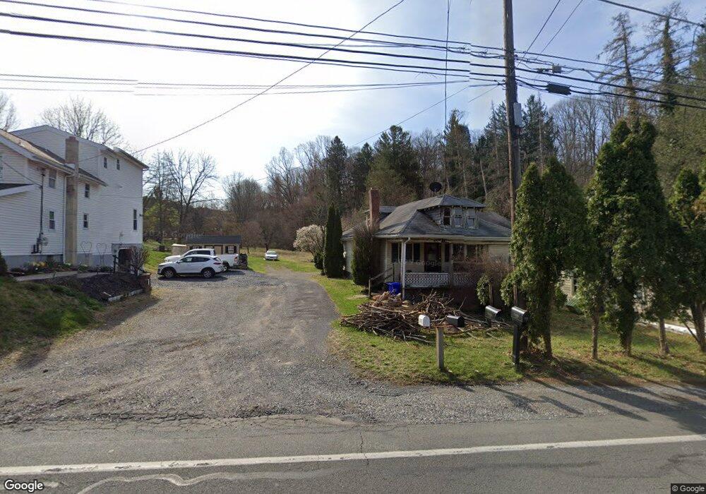
100 Custer Ln Mohnton, PA 19540
Estimated Value: $265,000 - $332,599
1
Bed
1
Bath
960
Sq Ft
$302/Sq Ft
Est. Value
About This Home
This home is located at 100 Custer Ln, Mohnton, PA 19540 and is currently estimated at $290,150, approximately $302 per square foot. 100 Custer Ln is a home located in Berks County with nearby schools including Brecknock Elementary School, Governor Mifflin Intermediate School, and Governor Mifflin Middle School.
Ownership History
Date
Name
Owned For
Owner Type
Purchase Details
Closed on
Mar 14, 2002
Sold by
Kalin Michael E and Kalin Deanne F
Bought by
Weitzel Paul D and Weitzel Sandra M
Current Estimated Value
Home Financials for this Owner
Home Financials are based on the most recent Mortgage that was taken out on this home.
Original Mortgage
$87,400
Outstanding Balance
$36,047
Interest Rate
6.88%
Estimated Equity
$254,103
Create a Home Valuation Report for This Property
The Home Valuation Report is an in-depth analysis detailing your home's value as well as a comparison with similar homes in the area
Home Values in the Area
Average Home Value in this Area
Purchase History
| Date | Buyer | Sale Price | Title Company |
|---|---|---|---|
| Weitzel Paul D | $92,000 | -- |
Source: Public Records
Mortgage History
| Date | Status | Borrower | Loan Amount |
|---|---|---|---|
| Open | Weitzel Paul D | $87,400 |
Source: Public Records
Tax History
| Year | Tax Paid | Tax Assessment Tax Assessment Total Assessment is a certain percentage of the fair market value that is determined by local assessors to be the total taxable value of land and additions on the property. | Land | Improvement |
|---|---|---|---|---|
| 2025 | $1,215 | $68,100 | $38,900 | $29,200 |
| 2024 | $3,133 | $68,100 | $38,900 | $29,200 |
| 2023 | $3,046 | $68,100 | $38,900 | $29,200 |
| 2022 | $2,969 | $68,100 | $38,900 | $29,200 |
| 2021 | $2,910 | $68,100 | $38,900 | $29,200 |
| 2020 | $2,910 | $68,100 | $38,900 | $29,200 |
| 2019 | $2,875 | $68,100 | $38,900 | $29,200 |
| 2018 | $2,823 | $68,100 | $38,900 | $29,200 |
| 2017 | $2,768 | $68,100 | $38,900 | $29,200 |
| 2016 | $1,056 | $68,100 | $38,900 | $29,200 |
| 2015 | $1,056 | $68,100 | $38,900 | $29,200 |
| 2014 | $1,056 | $68,100 | $38,900 | $29,200 |
Source: Public Records
Map
Nearby Homes
- 32 Stonehill Dr
- 338 Candy Rd
- 49 Fawn Dr
- 199 Deer Hill Rd
- 10 Hidden Pond Dr
- 5 Glen Hollow Ct
- 2185 Welsh Rd
- 360 Pheasant Rd
- 39 Gill Rd
- 5028 Vista Ct
- 7 Hessian Blvd
- 4 Royal Ct
- 5053 Lakewood Dr
- 30 W Fairview St
- 46D Muirfield Dr
- 46C Muirfield Dr
- 48C Muirfield Dr
- 56 N Church St
- 6A Olympic Dr
- 17 E Summit St
- 27 Candy Rd
- 25 Candy Rd
- 52 Candy Rd
- 3672 New Holland Rd
- 3622 New Holland Rd
- 3636 New Holland Rd
- 20 Candy Rd
- 21 Candy Rd
- 12 Maple Grove Rd
- 3587 New Holland Rd
- 3599 New Holland Rd
- 80 Lori Ln
- 62 Candy Rd
- 30 Candy Rd
- 64 Candy Rd
- 155 Candy Rd
- 3740 New Holland Rd
- 66 Candy Rd
- 3673 New Holland Rd
- 50 Slote Ln
Your Personal Tour Guide
Ask me questions while you tour the home.