100 Johnson Rd Liberty, MO 64068
Estimated Value: $357,824 - $400,000
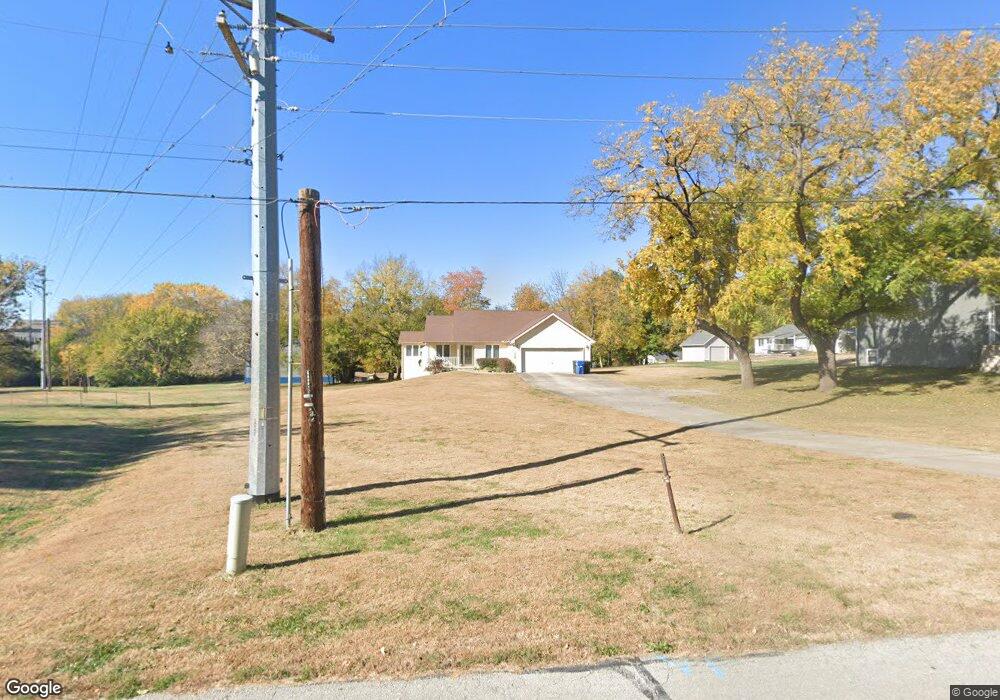
About This Home
This home is located at 100 Johnson Rd, Liberty, MO 64068 and is currently estimated at $376,206, approximately $259 per square foot. 100 Johnson Rd is a home located in Clay County with nearby schools including Alexander Doniphan Elementary School, Discovery Middle School, and Liberty High School.
Ownership History
We collect this data history from publicly available records. To have your information removed, we recommend requesting removal directly through your county’s website.
Purchase Details
Home Financials for this Owner
Home Financials are based on the most recent Mortgage that was taken out on this home.Home Values in the Area
Average Home Value in this Area
Purchase History
We collect this data history from publicly available records. To have your information removed, we recommend requesting removal directly through your county’s website.
| Date | Buyer | Sale Price | Title Company |
|---|---|---|---|
| -- | Kansas City Title | ||
| -- | Kansas City Title Inc |
Mortgage History
We collect this data history from publicly available records. To have your information removed, we recommend requesting removal directly through your county’s website.
| Date | Status | Borrower | Loan Amount |
|---|---|---|---|
| Open | $62,000 |
Tax History
We collect this data history from publicly available records. To have your information removed, we recommend requesting removal directly through your county’s website.
| Year | Tax Paid | Tax Assessment Tax Assessment Total Assessment is a certain percentage of the fair market value that is determined by local assessors to be the total taxable value of land and additions on the property. | Land | Improvement |
|---|---|---|---|---|
| 2025 | -- | $53,830 | -- | -- |
| 2024 | $3,459 | $46,850 | -- | -- |
| 2023 | $3,510 | $46,850 | $0 | $0 |
| 2022 | $3,191 | $42,120 | $0 | $0 |
| 2021 | $3,204 | $42,123 | $7,714 | $34,409 |
| 2020 | $3,110 | $38,570 | $0 | $0 |
| 2019 | $3,112 | $38,570 | $0 | $0 |
| 2018 | $2,735 | $33,290 | $0 | $0 |
| 2017 | $2,705 | $33,290 | $3,760 | $29,530 |
| 2016 | $2,705 | $33,290 | $3,760 | $29,530 |
| 2015 | $2,706 | $33,290 | $3,760 | $29,530 |
| 2014 | $2,620 | $32,160 | $3,760 | $28,400 |
Map
- 1500 Amesbury Ave
- 2133 Winding Woods Dr
- 1561 Parkside Dr
- Lot 2A Oak Crest Dr
- 1617 Welleslay Ln
- 1310 Amesbury Ave
- Lot 2 Bent Oaks Dr
- 441 Wilshire Blvd
- 1830 Parkside Dr
- 1605 High Dr
- 2149 Black Walnut Dr
- 2153 Black Walnut Dr
- 2152 Black Walnut Dr
- 512 Brentwood Dr
- 1820 Homestead Dr
- 1824 Homestead Dr
- 1836 Green Meadow Dr
- 1849 Arbor Trail
- 1327 Huntington Dr
- 1813 Homestead Dr
Ask me questions while you tour the home.