100 Lakeside Rd Hanson, MA 02341
Estimated Value: $582,238 - $664,000
4
Beds
2
Baths
1,512
Sq Ft
$412/Sq Ft
Est. Value
About This Home
This home is located at 100 Lakeside Rd, Hanson, MA 02341 and is currently estimated at $622,310, approximately $411 per square foot. 100 Lakeside Rd is a home located in Plymouth County with nearby schools including Cardinal Cushing Centers.
Ownership History
Date
Name
Owned For
Owner Type
Purchase Details
Closed on
Jun 27, 2003
Sold by
Dever William Patrick and Dever William P
Bought by
Lacey Scott W and Lacey Jaime L
Current Estimated Value
Purchase Details
Closed on
Apr 26, 1996
Sold by
Oneil David J and Oneil Leanne L
Bought by
Dever William P and Dever Theresa A
Create a Home Valuation Report for This Property
The Home Valuation Report is an in-depth analysis detailing your home's value as well as a comparison with similar homes in the area
Home Values in the Area
Average Home Value in this Area
Purchase History
We collect this data history from publicly available records. To have your information removed, we recommend requesting removal directly through your county’s website.
| Date | Buyer | Sale Price | Title Company |
|---|---|---|---|
| Lacey Scott W | $329,900 | -- | |
| Dever William P | $136,000 | -- |
Source: Public Records
Mortgage History
We collect this data history from publicly available records. To have your information removed, we recommend requesting removal directly through your county’s website.
| Date | Status | Borrower | Loan Amount |
|---|---|---|---|
| Open | Dever William P | $235,500 | |
| Closed | Dever William P | $55,000 |
Source: Public Records
Tax History
| Year | Tax Paid | Tax Assessment Tax Assessment Total Assessment is a certain percentage of the fair market value that is determined by local assessors to be the total taxable value of land and additions on the property. | Land | Improvement |
|---|---|---|---|---|
| 2025 | $6,418 | $479,700 | $163,000 | $316,700 |
| 2024 | $6,234 | $465,900 | $158,300 | $307,600 |
| 2023 | $6,052 | $426,800 | $158,300 | $268,500 |
| 2022 | $5,861 | $388,400 | $143,900 | $244,500 |
| 2021 | $5,213 | $345,200 | $138,400 | $206,800 |
| 2020 | $5,073 | $332,200 | $133,700 | $198,500 |
| 2019 | $4,852 | $312,400 | $131,100 | $181,300 |
| 2018 | $4,570 | $288,700 | $126,100 | $162,600 |
| 2017 | $4,430 | $277,200 | $120,100 | $157,100 |
| 2016 | $4,507 | $272,300 | $120,100 | $152,200 |
| 2015 | $4,275 | $268,500 | $120,100 | $148,400 |
Source: Public Records
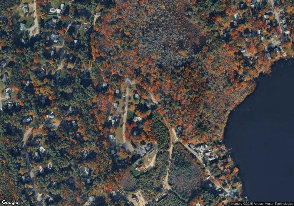
Map
Nearby Homes
- 11 Lakeside Terrace
- 33 Lakeside Terrace
- 51 Lakeside Terrace
- 22 Lakeside Terrace
- 8 Lakeside Terrace
- 36 Lakeside Terrace
- 137 Lakeside Rd
- 0 Lakeside Unit 70852507
- 0 Lakeside Unit 73010458
- 0 Lakeside Unit 70665697
- 77 Lakeside Terrace
- 54 Lakeside Terrace
- 46 Lakeside Rd
- Lot 3A Lakeside Rd
- 1A,3A,2 Lakeside Rd
- 159 Lakeside Rd
- 165 Lakeside Rd
- 66 Lakeside Terrace
- 202 Lakeside Rd
- 202 Lakeside Rd Unit 1
Your Personal Tour Guide
Ask me questions while you tour the home.