100 Maple St Stoutland, MO 65567
Estimated Value: $109,000 - $461,000
About This Home
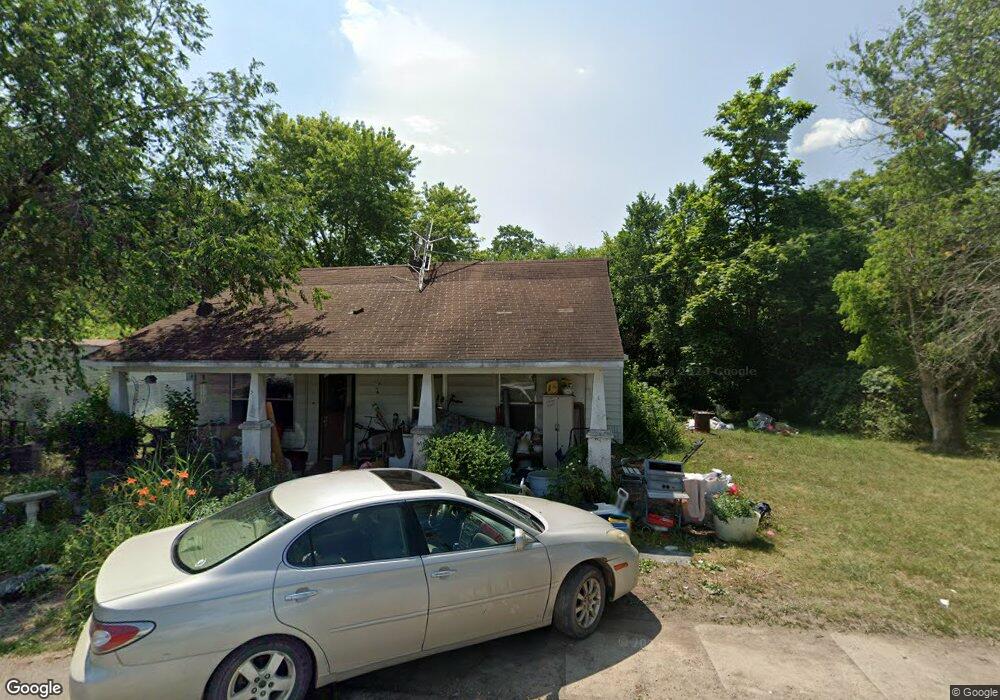
This home is located at 100 Maple St, Stoutland, MO 65567 and is currently estimated at $236,900, approximately $180 per square foot. 100 Maple St is a home located in Laclede County with nearby schools including Stoutland Elementary School and Stoutland High School.
Ownership History
We collect this data history from publicly available records. To have your information removed, we recommend requesting removal directly through your county’s website.
Purchase Details
Home Financials for this Owner
Home Financials are based on the most recent Mortgage that was taken out on this home.Purchase Details
Purchase History
We collect this data history from publicly available records. To have your information removed, we recommend requesting removal directly through your county’s website.
| Date | Buyer | Sale Price | Title Company |
|---|---|---|---|
| -- | Great American Title | ||
| -- | None Available |
Mortgage History
We collect this data history from publicly available records. To have your information removed, we recommend requesting removal directly through your county’s website.
| Date | Status | Borrower | Loan Amount |
|---|---|---|---|
| Open | $25,000 | ||
| Closed | $28,000 | ||
| Closed | $28,000 |
Tax History
We collect this data history from publicly available records. To have your information removed, we recommend requesting removal directly through your county’s website.
| Year | Tax Paid | Tax Assessment Tax Assessment Total Assessment is a certain percentage of the fair market value that is determined by local assessors to be the total taxable value of land and additions on the property. | Land | Improvement |
|---|---|---|---|---|
| 2025 | $287 | $6,840 | $0 | $0 |
| 2024 | $251 | $5,980 | $0 | $0 |
| 2023 | $249 | $5,980 | $0 | $0 |
| 2022 | $249 | $5,980 | $0 | $0 |
| 2021 | $241 | $6,042 | $2,166 | $3,876 |
| 2020 | $242 | $6,042 | $2,166 | $3,876 |
| 2019 | $242 | $5,980 | $2,100 | $3,880 |
| 2018 | $236 | $5,980 | $2,100 | $3,880 |
| 2017 | $228 | $5,980 | $0 | $0 |
| 2016 | $228 | $6,950 | $0 | $0 |
| 2015 | $228 | $6,950 | $0 | $0 |
| 2014 | $228 | $6,950 | $0 | $0 |
| 2013 | -- | $6,950 | $0 | $0 |
Map
- 448 Armstrong Ave
- 000 Hwy H&t
- 29550 King Rd
- 2066 State Road Jj
- 2066 State Highway Jj
- 30017 Jeffries Rd
- 2518 State Highway H
- 2818 State Highway H
- 4644 Eaton Ave
- 0 Robin Dr Unit MIS26043873
- 30050 Highway T
- 30050 State Highway T
- Tract 1 Keepsake Rd
- Tract 2 Keepsake Rd
- T Highway
- 31781 Highway Ff
- 000 Garden Crest Rd
- 31197 Hidden Hills Rd
- 1044 Pritchett Rd
- 34555 Highway Ff
- 105 Maple St
- 103 E Maple St
- 0 King Rd Unit 14046616
- 0 King Rd Unit MAR24026331
- 0 King Rd Unit 23024709
- 0 King Rd Unit 21447
- 101 Maple St
- 7814 State Road T
- 104 Maple St
- 186 Armstrong Rd
- 459 Armstrong Rd
- 485 Armstrong Rd
- 117 S Oak St
- 5912 Wyandotte St
- 127 Maple St
- 102 Maple St
- 147 Maple St
- 147 Maple St
- 147 Maple St
- 155 Maple St
Ask me questions while you tour the home.