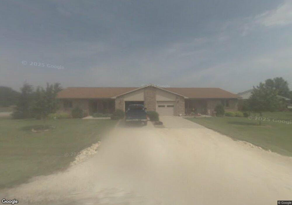
100 N Bend Dr Onarga, IL 60955
Estimated Value: $163,000 - $214,000
Studio
--
Bath
--
Sq Ft
0.47
Acres Lot
About This Home
This home is located at 100 N Bend Dr, Onarga, IL 60955 and is currently estimated at $193,080. 100 N Bend Dr is a home with nearby schools including Iroquois West Elementary School/Danforth, Iroquois West Elementary School/Thawville, and Iroquois West Middle School.
Ownership History
Date
Name
Owned For
Owner Type
Purchase Details
Closed on
Apr 12, 2022
Sold by
Herscher R Dennis
Bought by
Luehrsen Duane A and Luehrsen Patricia S
Current Estimated Value
Home Financials for this Owner
Home Financials are based on the most recent Mortgage that was taken out on this home.
Original Mortgage
$80,000
Outstanding Balance
$54,166
Interest Rate
3.85%
Mortgage Type
New Conventional
Estimated Equity
$138,914
Create a Home Valuation Report for This Property
The Home Valuation Report is an in-depth analysis detailing your home's value as well as a comparison with similar homes in the area
Purchase History
| Date | Buyer | Sale Price | Title Company |
|---|---|---|---|
| Luehrsen Duane A | $140,000 | None Listed On Document |
Source: Public Records
Mortgage History
| Date | Status | Borrower | Loan Amount |
|---|---|---|---|
| Open | Luehrsen Duane A | $80,000 |
Source: Public Records
Tax History
| Year | Tax Paid | Tax Assessment Tax Assessment Total Assessment is a certain percentage of the fair market value that is determined by local assessors to be the total taxable value of land and additions on the property. | Land | Improvement |
|---|---|---|---|---|
| 2024 | $5,908 | $73,970 | $5,450 | $68,520 |
| 2023 | $5,908 | $74,240 | $5,110 | $69,130 |
| 2022 | $5,587 | $71,210 | $4,900 | $66,310 |
| 2021 | $5,649 | $60,870 | $4,190 | $56,680 |
| 2020 | $5,474 | $56,700 | $3,900 | $52,800 |
| 2019 | $5,330 | $54,830 | $3,770 | $51,060 |
| 2018 | $5,928 | $60,030 | $3,670 | $56,360 |
| 2017 | $5,929 | $58,970 | $3,610 | $55,360 |
| 2016 | $5,964 | $58,970 | $3,610 | $55,360 |
| 2015 | $5,846 | $58,240 | $3,570 | $54,670 |
| 2014 | $5,846 | $57,190 | $3,510 | $53,680 |
| 2013 | $6,075 | $59,710 | $3,660 | $56,050 |
Source: Public Records
Map
Nearby Homes
- 304 S Poplar St
- 1702 N 600 Rd E
- 615 S Central St
- 618 S Thomas St
- 404 S Maple St
- 116 N Main St
- 812 W 3rd St
- 316 N Commerce St
- 224 N Maple St
- 507 N Secor St
- 615 N Hartwell St
- Sec7 Twp26n R10e Rd
- 2018 N US Highway 45
- 308 Jefferson St
- 111 W Central St
- 214 S Railroad Ave
- 101 1/2 E North St
- 305 S Oak St
- 1235 N 1450 East Rd
- 206 S Cherry St
- 102 N Bend Dr
- 103 N Bend Dr
- 108 N Bend Dr
- 103a N Bend Dr
- 104 N Bend Dr
- 106 N Bend Dr
- 337 S Evergreen St
- 111 S Bend Dr
- 107 S Bend Dr
- 105 S Bend Dr
- 309 S Locust St
- 310 S Locust St
- 401 S Locust St
- 103 S Bend Dr
- 101 W Roosevelt Ave
- 331 S Evergreen St
- 306 S Locust St
- 310 S Poplar St
- 307 S Locust St
- 306 S Poplar St
Your Personal Tour Guide
Ask me questions while you tour the home.