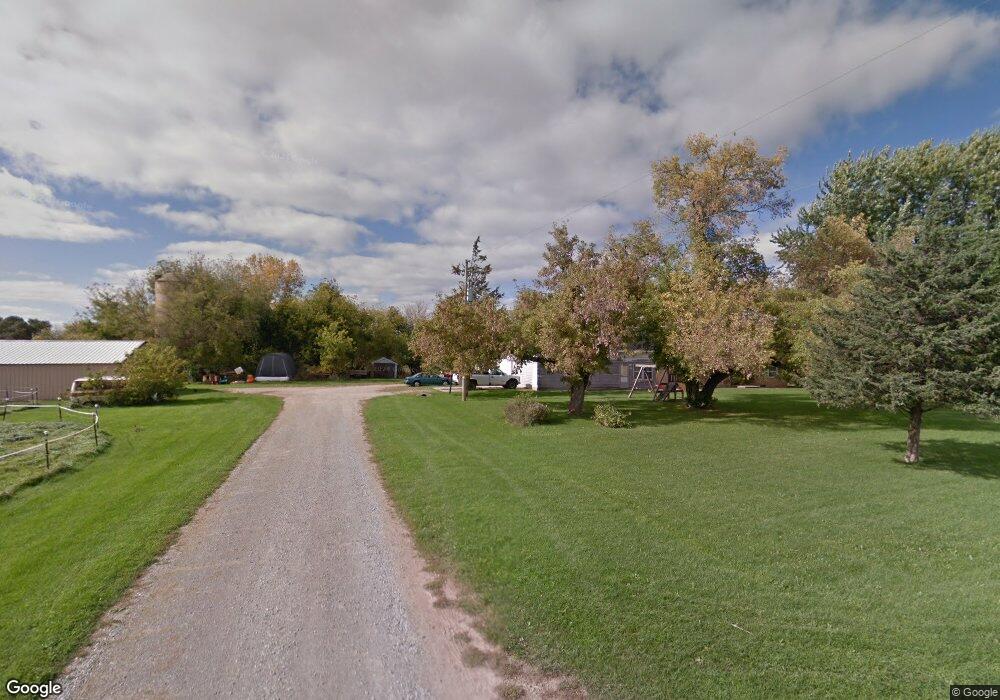
100 Norman Ln Unit BLOCK Wrightstown, WI 54180
Estimated Value: $228,587 - $498,000
Studio
--
Bath
--
Sq Ft
5.16
Acres Lot
About This Home
This home is located at 100 Norman Ln Unit BLOCK, Wrightstown, WI 54180 and is currently estimated at $370,897. 100 Norman Ln Unit BLOCK is a home located in Brown County with nearby schools including Wrightstown Elementary School, Wrightstown Middle School, and Wrightstown High School.
Ownership History
Date
Name
Owned For
Owner Type
Purchase Details
Closed on
Dec 26, 2013
Sold by
Rosenbaum Sue E
Bought by
Rosenbaum Sue E and Piepenburg Lynn L
Current Estimated Value
Purchase Details
Closed on
Mar 29, 2012
Sold by
Schroeder Margaret A
Bought by
Pankratz Carole A and Schroeder Richard E
Purchase Details
Closed on
Mar 29, 2008
Sold by
Schroeder Norman and Schroeder Linda M
Bought by
Schroeder Norman and Schroeder Margaret A
Create a Home Valuation Report for This Property
The Home Valuation Report is an in-depth analysis detailing your home's value as well as a comparison with similar homes in the area
Home Values in the Area
Average Home Value in this Area
Purchase History
We collect this data history from publicly available records. To have your information removed, we recommend requesting removal directly through your county’s website.
| Date | Buyer | Sale Price | Title Company |
|---|---|---|---|
| Rosenbaum Sue E | -- | None Available | |
| Pankratz Carole A | $8,600 | None Available | |
| Schroeder Norman | -- | None Available |
Source: Public Records
Tax History
| Year | Tax Paid | Tax Assessment Tax Assessment Total Assessment is a certain percentage of the fair market value that is determined by local assessors to be the total taxable value of land and additions on the property. | Land | Improvement |
|---|---|---|---|---|
| 2025 | $948 | $60,200 | $42,200 | $18,000 |
| 2024 | $833 | $60,200 | $42,200 | $18,000 |
| 2023 | $906 | $60,200 | $42,200 | $18,000 |
| 2022 | $1,071 | $46,200 | $35,300 | $10,900 |
| 2021 | $1,039 | $46,200 | $35,300 | $10,900 |
| 2020 | $1,003 | $46,200 | $35,300 | $10,900 |
| 2019 | $949 | $46,200 | $35,300 | $10,900 |
| 2018 | $883 | $70,400 | $55,400 | $15,000 |
| 2017 | $324 | $17,200 | $12,300 | $4,900 |
| 2016 | $335 | $17,200 | $12,300 | $4,900 |
| 2015 | $335 | $17,200 | $12,300 | $4,900 |
| 2014 | $327 | $17,200 | $12,300 | $4,900 |
| 2013 | $327 | $17,200 | $12,300 | $4,900 |
Source: Public Records
Map
Nearby Homes
- 30 Golden Wheat Ln
- 420 Prairie Way
- 739 Park St
- 544 Nicole Ln
- 910 Park St
- 1040 Crestview Dr
- 240 Alison Ct
- 233 Burning Tree Ct
- 4207 Lost Dauphin Rd
- 6732 Apple Blossom Ln
- 4079 Lost Dauphin Rd
- 227 Peterlynn Dr
- 932 Meadowlark Rd
- 248 Kerrigan Dr
- 278 Kerrigan Dr
- 272 Kerrigan Dr
- 278 Peterlynn Dr
- 308 Kerrigan Dr
- 302 Kerrigan Dr
- 230 Kerrigan Dr
- 100 Norman Ln
- 14 Golden Wheat Ln
- 18 Golden Wheat Ln
- 7 Corn Silk Ct
- 10 Golden Wheat Ln
- 11 Corn Silk Ct
- 0 Golden Wheat Ln
- 0 Golden Wheat Ln
- 0 Norman Ln
- 3 Corn Silk Ct
- 104 Norman Ln
- 0 Plum Rd
- 15 Golden Wheat Ln
- 19 Golden Wheat Ln
- 103 Golden Wheat Ln
- 15 Corn Silk Ct
- 11 Golden Wheat Ln
- 2 Corn Silk Ct
- 10 Corn Silk Ct
- 23 Golden Wheat Ln
Your Personal Tour Guide
Ask me questions while you tour the home.