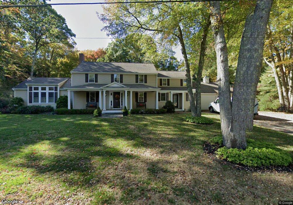
100 Williamsburg Ln Scituate, MA 02066
Estimated Value: $1,159,000 - $1,330,341
About This Home
This home is located at 100 Williamsburg Ln, Scituate, MA 02066 and is currently estimated at $1,240,335, approximately $398 per square foot. 100 Williamsburg Ln is a home located in Plymouth County with nearby schools including Jenkins Elementary School, Lester J. Gates Middle School, and Scituate High School.
Ownership History
We collect this data history from publicly available records. To have your information removed, we recommend requesting removal directly through your county’s website.
Purchase Details
Home Financials for this Owner
Home Financials are based on the most recent Mortgage that was taken out on this home.Purchase Details
Home Values in the Area
Average Home Value in this Area
Purchase History
We collect this data history from publicly available records. To have your information removed, we recommend requesting removal directly through your county’s website.
| Date | Buyer | Sale Price | Title Company |
|---|---|---|---|
| $300,000 | -- | ||
| $267,000 | -- |
Mortgage History
We collect this data history from publicly available records. To have your information removed, we recommend requesting removal directly through your county’s website.
| Date | Status | Borrower | Loan Amount |
|---|---|---|---|
| Open | $25,000 | ||
| Open | $190,000 | ||
| Closed | $180,000 |
Tax History
We collect this data history from publicly available records. To have your information removed, we recommend requesting removal directly through your county’s website.
| Year | Tax Paid | Tax Assessment Tax Assessment Total Assessment is a certain percentage of the fair market value that is determined by local assessors to be the total taxable value of land and additions on the property. | Land | Improvement |
|---|---|---|---|---|
| 2025 | $10,715 | $1,072,600 | $489,000 | $583,600 |
| 2024 | $10,538 | $1,017,200 | $444,600 | $572,600 |
| 2023 | $10,183 | $933,900 | $404,200 | $529,700 |
| 2022 | $10,183 | $806,900 | $354,600 | $452,300 |
| 2021 | $9,851 | $739,000 | $337,700 | $401,300 |
| 2020 | $9,553 | $707,600 | $324,700 | $382,900 |
| 2019 | $9,409 | $684,800 | $318,300 | $366,500 |
| 2018 | $9,038 | $647,900 | $310,400 | $337,500 |
| 2017 | $8,788 | $623,700 | $298,400 | $325,300 |
| 2016 | $8,819 | $623,700 | $298,400 | $325,300 |
| 2015 | $8,015 | $611,800 | $286,500 | $325,300 |
Map
- 23 Grace Way
- 6 Grace Way Unit 6
- 1 Grace Way Unit 1
- 20 Grace Way Unit 20
- 516 First Parish Rd
- 320 First Parish Rd
- 35 Beach Plum Ln
- 34 Sherman Dr
- 52 Pheasant Hill Dr
- 32 Branch St
- 74 Branch St Unit 15
- 23 Acorn St
- 6 Jackson Rd
- 49 James Way
- 334 Chief Justice Cushing Hwy
- 131 Maple St
- 43 Jackson Rd
- 35 Grove St
- 10 Dunster Ln
- 171 Lawson Rd
- 101 Williamsburg Ln
- 92 Williamsburg Ln
- 91 Williamsburg Ln
- 84 Williamsburg Ln
- 24 Deer Common Dr
- 28 Deer Common Dr
- 28 Deer Common Dr Unit Lot 7
- 9 Christopher Wren Rd
- 20 Deer Common Dr
- 24 Christopher Wren Rd
- 32 Deer Common Dr
- 16 Christopher Wren Rd
- 32 Deer Common Dr
- 16 Deer Common Dr
- 1 Christopher Wren Rd
- 8 Christopher Wren Rd
- 12 Deer Common Dr
- 530 Chief Justice Cushing Hwy
- 10 Deer Common Dr
- 10 Deer Common Dr Unit Lot 11
Ask me questions while you tour the home.