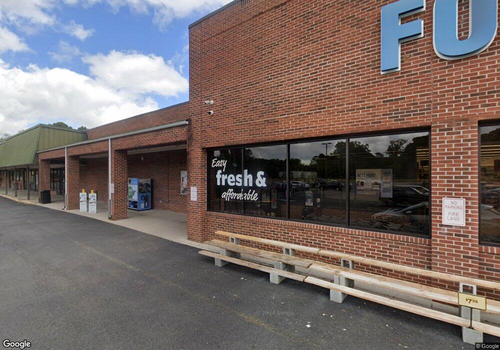
100 Winters St West Point, VA 23181
Estimated Value: $4,957,949
Studio
--
Bath
81,780
Sq Ft
$61/Sq Ft
Est. Value
About This Home
This home is located at 100 Winters St, West Point, VA 23181 and is currently estimated at $4,957,949, approximately $60 per square foot. 100 Winters St is a home located in King William County with nearby schools including West Point Elementary School, West Point Middle School, and West Point High School.
Ownership History
Date
Name
Owned For
Owner Type
Purchase Details
Closed on
Jul 10, 2025
Sold by
West Point Square Llc
Bought by
Nsp West Point Llc
Current Estimated Value
Home Financials for this Owner
Home Financials are based on the most recent Mortgage that was taken out on this home.
Original Mortgage
$4,300,000
Outstanding Balance
$4,292,776
Interest Rate
6.89%
Mortgage Type
Credit Line Revolving
Estimated Equity
$665,173
Create a Home Valuation Report for This Property
The Home Valuation Report is an in-depth analysis detailing your home's value as well as a comparison with similar homes in the area
Home Values in the Area
Average Home Value in this Area
Purchase History
| Date | Buyer | Sale Price | Title Company |
|---|---|---|---|
| Nsp West Point Llc | $5,000,000 | Investors Title |
Source: Public Records
Mortgage History
| Date | Status | Borrower | Loan Amount |
|---|---|---|---|
| Open | Nsp West Point Llc | $4,300,000 |
Source: Public Records
Tax History
| Year | Tax Paid | Tax Assessment Tax Assessment Total Assessment is a certain percentage of the fair market value that is determined by local assessors to be the total taxable value of land and additions on the property. | Land | Improvement |
|---|---|---|---|---|
| 2025 | $14,062 | $4,610,400 | $1,203,300 | $3,407,100 |
| 2024 | $12,448 | $4,610,400 | $1,203,300 | $3,407,100 |
| 2023 | $26,740 | $4,610,400 | $1,203,300 | $3,407,100 |
| 2022 | $16,190 | $4,317,300 | $1,203,300 | $3,114,000 |
| 2021 | $16,406 | $4,317,296 | $1,203,300 | $3,113,996 |
| 2020 | $16,406 | $601,600 | $601,600 | $0 |
| 2019 | $16,837 | $1,203,300 | $1,203,300 | $0 |
| 2018 | $16,837 | $3,913,496 | $1,203,300 | $2,710,196 |
| 2017 | $8,635 | $3,913,500 | $1,203,300 | $2,710,200 |
| 2016 | $17,701 | $3,913,500 | $1,203,300 | $2,710,200 |
| 2015 | $9,282 | $3,913,500 | $1,203,300 | $2,710,200 |
| 2014 | $8,861 | $0 | $0 | $0 |
Source: Public Records
Map
Nearby Homes
- 314 Ogden St
- 352 Ogden St
- 322 Ogden St
- 332 Ogden St
- 342 Ogden St
- 3179 King William Ave
- 3183 King William Ave
- .21ac King William Ave
- Lot 24 King William Ave
- Lot 25 King William Ave
- 200 Fort St
- 230 Glen St
- 3109 Taylor Ave
- 2660 N Oak Ln
- 208 Pointers Dr
- 605 Rivergate Terrace
- 3557 Odi St
- 3330 Mattaponi Ave
- 322 12th St
- 993 Chelsea Run
- 0 Winters St
- 160 Thompsons Ave
- 220 Ogden St
- 2980 Cheatham Dr
- 2980 Cheatham Dr
- 284 Ogden St
- 142 Odgen St
- 140 Oak Grove Ave
- 140 Ogden St
- 140 Odgen St
- 288 Ogden St
- 142 Ogden St
- 144 Ogden St
- 00 Ogden St
- 0 Ogden St Unit 1700815
- 0 Ogden St Unit 2323681
- 0 Ogden St Unit 2218267
- 000 Ogden St
- 138 Ogden St
- 300 Ogden St
Your Personal Tour Guide
Ask me questions while you tour the home.