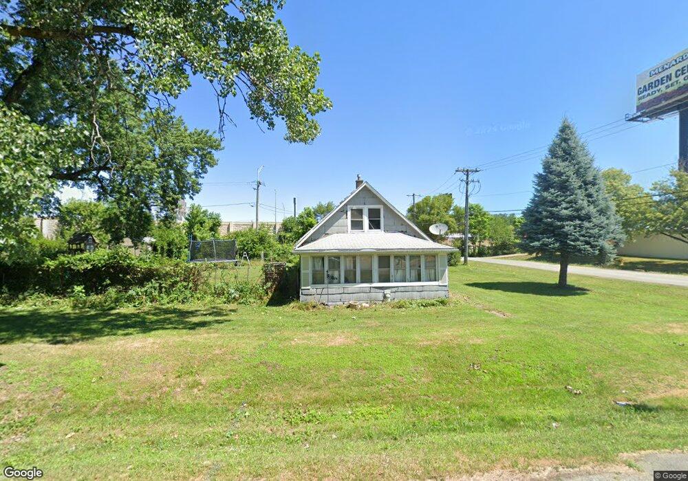
1000 172nd St Hazel Crest, IL 60429
Estimated Value: $148,533 - $170,000
2
Beds
1
Bath
1,485
Sq Ft
$107/Sq Ft
Est. Value
About This Home
This home is located at 1000 172nd St, Hazel Crest, IL 60429 and is currently estimated at $158,383, approximately $106 per square foot. 1000 172nd St is a home located in Cook County with nearby schools including Thornwood High School and Glenwood Academy.
Ownership History
Date
Name
Owned For
Owner Type
Purchase Details
Closed on
Mar 24, 2006
Sold by
Cimoli Margaret
Bought by
Keetley John
Current Estimated Value
Purchase Details
Closed on
Nov 18, 2004
Sold by
Norma Keetley Living Trust
Bought by
Illinois State Toll Highway Authority
Purchase Details
Closed on
Jun 24, 2002
Sold by
Keetley Norma M
Bought by
Kiepura Mary
Purchase Details
Closed on
Jul 16, 1996
Sold by
Keetley Norma
Bought by
Norma Keeley Living Trust
Create a Home Valuation Report for This Property
The Home Valuation Report is an in-depth analysis detailing your home's value as well as a comparison with similar homes in the area
Home Values in the Area
Average Home Value in this Area
Purchase History
| Date | Buyer | Sale Price | Title Company |
|---|---|---|---|
| Keetley John | -- | None Available | |
| Illinois State Toll Highway Authority | -- | Stewart Title Of Illinois | |
| Kiepura Mary | -- | -- | |
| Norma Keeley Living Trust | -- | -- |
Source: Public Records
Tax History
| Year | Tax Paid | Tax Assessment Tax Assessment Total Assessment is a certain percentage of the fair market value that is determined by local assessors to be the total taxable value of land and additions on the property. | Land | Improvement |
|---|---|---|---|---|
| 2025 | $3,006 | $9,100 | $4,058 | $5,042 |
| 2024 | $3,006 | $9,100 | $4,058 | $5,042 |
| 2023 | $2,649 | $9,100 | $4,058 | $5,042 |
| 2022 | $2,649 | $7,492 | $3,607 | $3,885 |
| 2021 | $2,658 | $7,491 | $3,607 | $3,884 |
| 2020 | $3,000 | $7,999 | $3,607 | $4,392 |
| 2019 | $2,417 | $7,471 | $3,156 | $4,315 |
| 2018 | $2,387 | $7,471 | $3,156 | $4,315 |
| 2017 | $2,434 | $7,471 | $3,156 | $4,315 |
| 2016 | $2,045 | $6,142 | $2,705 | $3,437 |
| 2015 | $1,910 | $6,142 | $2,705 | $3,437 |
| 2014 | $1,902 | $6,142 | $2,705 | $3,437 |
| 2013 | $2,585 | $7,891 | $2,705 | $5,186 |
Source: Public Records
Map
Nearby Homes
- 1021 173rd St
- 1113 171st St
- 1016 174th St
- 17406 Lathrop Ave
- 1307 173rd St
- 1409 172nd St
- 1411 172nd St
- 16604 Finch Ave
- 16508 Emerald Ave
- 15317 S Wallace Ave
- 17915 Hood Ave
- 16919 Wood St
- 16559 Ashland Ave
- 16611 Marshfield Ave
- 1722 168th St
- 16641 Paulina St
- 16637 Paulina St
- 16310 Carse Ave
- 17092 Jodave Ave
- 16807 Wood St
- 1007 172nd St
- 17206 Lathrop Ave
- 1009 172nd St
- 1016 172nd St
- 17208 Lathrop Ave
- 17208 Lathrop Ave
- 1017 172nd St
- 1015 172nd St
- 17210 Lathrop Ave
- 929 171st St
- 1021 172nd St
- 17218 Lathrop Ave
- 1013 171st St
- 1026 172nd St
- 1017 171st St
- 925 171st St
- 17201 Fisk St
- 17220 Lathrop Ave
- 1019 171st St
- 17209 Fisk St
Your Personal Tour Guide
Ask me questions while you tour the home.