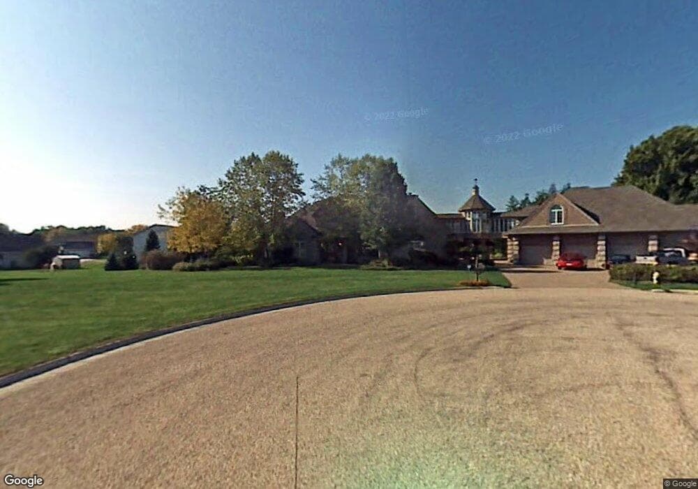
1000 Apache Ct Fort Atkinson, WI 53538
Estimated Value: $408,000 - $887,000
Studio
--
Bath
--
Sq Ft
43,691
Sq Ft Lot
About This Home
This home is located at 1000 Apache Ct, Fort Atkinson, WI 53538 and is currently estimated at $703,395. 1000 Apache Ct is a home located in Jefferson County with nearby schools including Rockwell Elementary School, Fort Atkinson Middle School, and Fort Atkinson High School.
Ownership History
Date
Name
Owned For
Owner Type
Purchase Details
Closed on
Dec 1, 2015
Sold by
Cascade Holdings Llc
Bought by
Yafai Mohamed H and Yafai Afrah M
Current Estimated Value
Home Financials for this Owner
Home Financials are based on the most recent Mortgage that was taken out on this home.
Original Mortgage
$389,500
Outstanding Balance
$304,767
Interest Rate
3.96%
Mortgage Type
New Conventional
Estimated Equity
$398,628
Purchase Details
Closed on
Jun 27, 2014
Sold by
Gorniak Dominic A
Bought by
Firstmerit Bank Na
Create a Home Valuation Report for This Property
The Home Valuation Report is an in-depth analysis detailing your home's value as well as a comparison with similar homes in the area
Home Values in the Area
Average Home Value in this Area
Purchase History
| Date | Buyer | Sale Price | Title Company |
|---|---|---|---|
| Yafai Mohamed H | $410,000 | None Available | |
| Firstmerit Bank Na | $520,000 | None Available |
Source: Public Records
Mortgage History
| Date | Status | Borrower | Loan Amount |
|---|---|---|---|
| Open | Yafai Mohamed H | $389,500 |
Source: Public Records
Tax History
| Year | Tax Paid | Tax Assessment Tax Assessment Total Assessment is a certain percentage of the fair market value that is determined by local assessors to be the total taxable value of land and additions on the property. | Land | Improvement |
|---|---|---|---|---|
| 2025 | $13,006 | $614,700 | $80,500 | $534,200 |
| 2024 | $11,617 | $614,700 | $80,500 | $534,200 |
| 2023 | $11,203 | $614,700 | $80,500 | $534,200 |
| 2022 | $12,254 | $443,600 | $55,000 | $388,600 |
| 2021 | $10,849 | $443,600 | $55,000 | $388,600 |
| 2020 | $10,450 | $443,600 | $55,000 | $388,600 |
| 2019 | $10,057 | $443,600 | $55,000 | $388,600 |
| 2018 | $9,653 | $443,600 | $55,000 | $388,600 |
| 2017 | $10,299 | $485,600 | $55,000 | $430,600 |
| 2016 | $9,617 | $430,000 | $76,400 | $353,600 |
| 2015 | $582 | $26,000 | $26,000 | $0 |
| 2014 | $562 | $26,000 | $26,000 | $0 |
| 2013 | $577 | $26,000 | $26,000 | $0 |
Source: Public Records
Map
Nearby Homes
- 1105 McCoy Park Rd
- 1310 Campus Dr
- 1313 Peony Place
- 1315 Peony Place
- 1018 Monroe St
- 710 W Blackhawk Dr
- 1205 Shawnee St
- 612 Roosevelt St
- 623 Shah Ave
- 615 Shah Ave
- 1320 Montclair Place
- 131 W Blackhawk Dr
- 1327 Montclair Place
- 716 Charles St
- 1612 Commonwealth Dr Unit 8
- 616 Reena Ave
- 717 Harriette St
- 333 Robert St
- 1255 Janette St
- 1232 Sherman Ave W
- 1001 Apache Ct
- 1108 McCoy Park Rd
- 1110 McCoy Park Rd
- 1005 Apache Ct
- 1002 Apache Ct
- 1106 McCoy Park Rd
- 1009 Apache Ct
- 1004 Apache Ct
- 1001 Pawnee Ct
- 1100 Mohawk Ct
- 1005 Pawnee Ct
- 1102 Mohawk Ct
- 1109 McCoy Park Rd Unit 1111
- 1104 McCoy Park Rd
- 1013 Apache Ct
- 1008 Apache Ct
- 1107 McCoy Park Rd
- 1009 Pawnee Ct
- 1104 Mohawk Ct
- 1013 Pawnee Ct
Your Personal Tour Guide
Ask me questions while you tour the home.