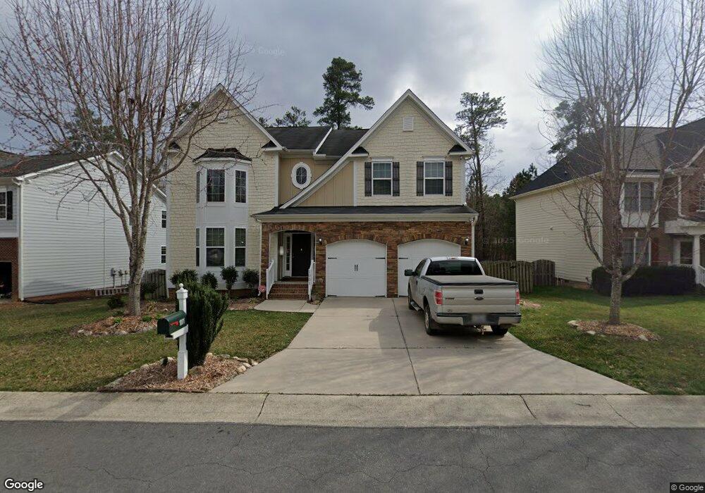
1001 Black Boulder Trail Durham, NC 27712
North Durham NeighborhoodEstimated Value: $564,359 - $658,000
About This Home
This home is located at 1001 Black Boulder Trail, Durham, NC 27712 and is currently estimated at $609,090, approximately $190 per square foot. 1001 Black Boulder Trail is a home located in Durham County with nearby schools including Eno Valley Elementary, George L Carrington Middle, and Northern High School.
Ownership History
We collect this data history from publicly available records. To have your information removed, we recommend requesting removal directly through your county’s website.
Purchase Details
Home Financials for this Owner
Home Financials are based on the most recent Mortgage that was taken out on this home.Home Values in the Area
Average Home Value in this Area
Purchase History
We collect this data history from publicly available records. To have your information removed, we recommend requesting removal directly through your county’s website.
| Date | Buyer | Sale Price | Title Company |
|---|---|---|---|
| $263,500 | None Available |
Mortgage History
We collect this data history from publicly available records. To have your information removed, we recommend requesting removal directly through your county’s website.
| Date | Status | Borrower | Loan Amount |
|---|---|---|---|
| Open | $210,891 |
Tax History
We collect this data history from publicly available records. To have your information removed, we recommend requesting removal directly through your county’s website.
| Year | Tax Paid | Tax Assessment Tax Assessment Total Assessment is a certain percentage of the fair market value that is determined by local assessors to be the total taxable value of land and additions on the property. | Land | Improvement |
|---|---|---|---|---|
| 2025 | $5,934 | $598,636 | $76,875 | $521,761 |
| 2024 | $4,641 | $332,737 | $49,240 | $283,497 |
| 2023 | $4,359 | $332,737 | $49,240 | $283,497 |
| 2022 | $4,259 | $332,737 | $49,240 | $283,497 |
| 2021 | $4,239 | $332,737 | $49,240 | $283,497 |
| 2020 | $4,139 | $332,737 | $49,240 | $283,497 |
| 2019 | $4,139 | $332,737 | $49,240 | $283,497 |
| 2018 | $4,109 | $302,941 | $49,240 | $253,701 |
| 2017 | $4,079 | $302,941 | $49,240 | $253,701 |
| 2016 | $3,942 | $302,941 | $49,240 | $253,701 |
| 2015 | $4,569 | $330,083 | $57,724 | $272,359 |
| 2014 | $4,569 | $330,083 | $57,724 | $272,359 |
Map
- 14 Brightfield Ln
- 4616 Paces Ferry Dr
- 5410 Ripplebrook Rd
- 5406 Ripplebrook Rd
- 5719 Greenbay Dr
- 4 Tall Leaf Trail
- 434 Walsenburg Dr
- 427 Vivaldi Dr
- 1 Queensland Ct
- 5022 Green Oak Dr
- 1729 Grady Dr
- 1618 Crystal Creek Dr
- 1810 Turning Leaf Ln
- 5805 Prioress Dr
- 5809 Prioress Dr
- 5801 Prioress Dr
- 5820 Genesee Dr
- 5023 Pine Trail Dr
- 902 Knight Dr
- 2 Sawmill Ln
- 1003 Black Boulder Trail
- 1005 Black Boulder Trail
- 911 Black Boulder Trail
- 5307 Paces Ferry Dr
- 1 Brightfield Ln
- 909 Black Boulder Trail
- 5404 Paces Ferry Dr
- 3 Brightfield Ln
- 5402 Paces Ferry Dr
- 5305 Paces Ferry Dr
- 2 Brightfield Ln
- 5306 Paces Ferry Dr
- 907 Black Boulder Trail
- 5 Brightfield Ln
- 4 Brightfield Ln
- 5501 Paces Ferry Dr
- 5303 Paces Ferry Dr
- 5304 Paces Ferry Dr
- 6 Brightfield Ln
- 7 Brightleaf Ct
Ask me questions while you tour the home.