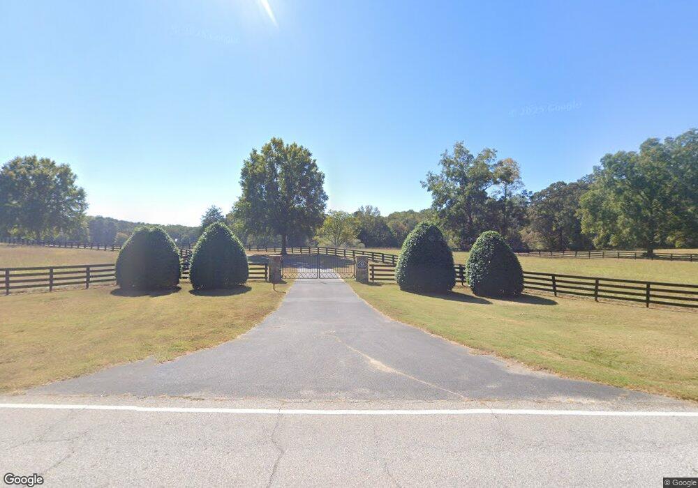
1001 Gordon Rd Moreland, GA 30259
Estimated Value: $993,000 - $1,842,008
5
Beds
5
Baths
5,903
Sq Ft
$240/Sq Ft
Est. Value
About This Home
This home is located at 1001 Gordon Rd, Moreland, GA 30259 and is currently estimated at $1,417,504, approximately $240 per square foot. 1001 Gordon Rd is a home located in Coweta County with nearby schools including Moreland Elementary School, Smokey Road Middle School, and Newnan High School.
Ownership History
Date
Name
Owned For
Owner Type
Purchase Details
Closed on
Jun 29, 2001
Sold by
Owens Gregory J
Bought by
Jeter James J and Jeter Lesie B
Current Estimated Value
Home Financials for this Owner
Home Financials are based on the most recent Mortgage that was taken out on this home.
Original Mortgage
$325,000
Interest Rate
6.85%
Mortgage Type
New Conventional
Purchase Details
Closed on
Jun 19, 1995
Bought by
Hemphill Martha L
Create a Home Valuation Report for This Property
The Home Valuation Report is an in-depth analysis detailing your home's value as well as a comparison with similar homes in the area
Home Values in the Area
Average Home Value in this Area
Purchase History
| Date | Buyer | Sale Price | Title Company |
|---|---|---|---|
| Jeter James J | $406,000 | -- | |
| Hemphill Martha L | -- | -- |
Source: Public Records
Mortgage History
| Date | Status | Borrower | Loan Amount |
|---|---|---|---|
| Previous Owner | Jeter James J | $325,000 |
Source: Public Records
Tax History
| Year | Tax Paid | Tax Assessment Tax Assessment Total Assessment is a certain percentage of the fair market value that is determined by local assessors to be the total taxable value of land and additions on the property. | Land | Improvement |
|---|---|---|---|---|
| 2025 | $9,657 | $625,639 | $193,418 | $432,221 |
| 2024 | $9,179 | $584,828 | $169,238 | $415,590 |
| 2023 | $9,179 | $566,160 | $186,162 | $379,998 |
Source: Public Records
Map
Nearby Homes
- 885 Alex Stephens Rd Unit LOT 1
- 837 Alex Stephens Rd Unit 2
- 757 Alex Stephens Rd Unit 5
- 779 Alex Stephens Rd Unit LOT 4
- 2 Whites Pond Rd
- 0 Teasley Trail Unit 10600969
- 80 Walton Place Dr
- 568 Martin Mill Rd
- 2694 S Highway 29
- 92 Gordon Oaks Way
- 63 Willow Dr E
- 50 Meadow View St
- 2794 S Highway 29
- 158 Gordon Oaks Way
- 14 Pond Oak Way
- 118 Cherokee Farms Dr
- 189 E Camp St
- 99 Willow Dr E Unit WIL99
- 105 Bob White Ln
- 26 Hillandale St
- 1078 Gordon Rd
- 1098 Gordon Rd
- 1135 Gordon Rd
- 70 Akeria Ln
- 60 Akeria Ln
- 1502 Martin Mill Rd
- 988 Gordon Rd
- 1508 Martin Mill Rd
- 945 Gordon Rd
- 1034 Gordon Rd
- 1416 Martin Mill Rd
- 1376 Martin Mill Rd
- 1505 Martin Mill Rd
- 2 Mattox Rd
- 1372 Martin Mill Rd
- 0 Alex Stephens Gordon Rd Unit 20122022
- 1607 Martin Mill Rd
- 1338 Martin Mill Rd
- 1226 Gordon Rd
- 1396 Martin Mill Rd
Your Personal Tour Guide
Ask me questions while you tour the home.