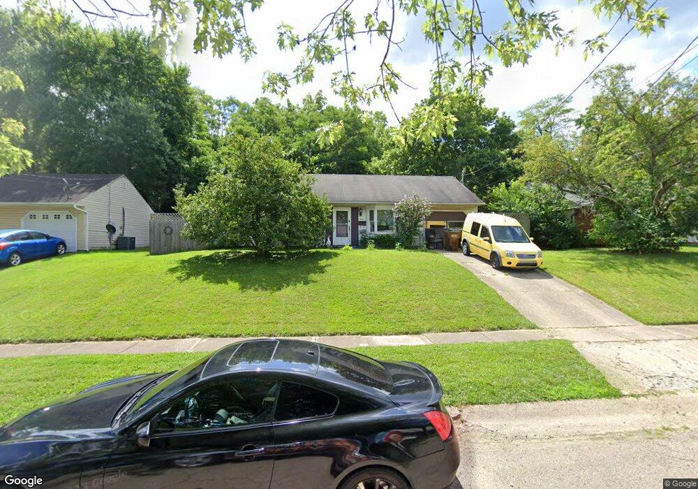
1001 Huffman Ct Cincinnati, OH 45231
Winton Lake NeighborhoodEstimated Value: $156,498 - $209,000
3
Beds
1
Bath
950
Sq Ft
$188/Sq Ft
Est. Value
About This Home
This home is located at 1001 Huffman Ct, Cincinnati, OH 45231 and is currently estimated at $178,125, approximately $187 per square foot. 1001 Huffman Ct is a home located in Hamilton County with nearby schools including Mt Healthy High School and John Paul II Catholic School.
Ownership History
Date
Name
Owned For
Owner Type
Purchase Details
Closed on
Oct 21, 1998
Sold by
Cook Jean E
Bought by
Cook Jean E and Bonewell Cathy J
Current Estimated Value
Home Financials for this Owner
Home Financials are based on the most recent Mortgage that was taken out on this home.
Original Mortgage
$63,900
Interest Rate
6.99%
Mortgage Type
FHA
Purchase Details
Closed on
Sep 18, 1998
Sold by
Meyer Daniel E and Meyer Pamela K
Bought by
Cook Jean E
Home Financials for this Owner
Home Financials are based on the most recent Mortgage that was taken out on this home.
Original Mortgage
$63,900
Interest Rate
6.99%
Mortgage Type
FHA
Create a Home Valuation Report for This Property
The Home Valuation Report is an in-depth analysis detailing your home's value as well as a comparison with similar homes in the area
Home Values in the Area
Average Home Value in this Area
Purchase History
| Date | Buyer | Sale Price | Title Company |
|---|---|---|---|
| Cook Jean E | -- | United Title Agency Of Cinci | |
| Cook Jean E | $64,000 | -- |
Source: Public Records
Mortgage History
| Date | Status | Borrower | Loan Amount |
|---|---|---|---|
| Previous Owner | Cook Jean E | $63,900 |
Source: Public Records
Tax History
| Year | Tax Paid | Tax Assessment Tax Assessment Total Assessment is a certain percentage of the fair market value that is determined by local assessors to be the total taxable value of land and additions on the property. | Land | Improvement |
|---|---|---|---|---|
| 2025 | $2,066 | $35,525 | $8,652 | $26,873 |
| 2024 | $1,465 | $35,525 | $8,652 | $26,873 |
| 2023 | $1,437 | $35,525 | $8,652 | $26,873 |
| 2022 | $1,308 | $26,030 | $7,270 | $18,760 |
| 2021 | $1,258 | $26,030 | $7,270 | $18,760 |
| 2020 | $1,296 | $26,030 | $7,270 | $18,760 |
| 2019 | $1,063 | $22,057 | $6,160 | $15,897 |
| 2018 | $1,069 | $22,057 | $6,160 | $15,897 |
| 2017 | $1,005 | $22,057 | $6,160 | $15,897 |
| 2016 | $1,136 | $23,674 | $6,685 | $16,989 |
| 2015 | $1,157 | $23,674 | $6,685 | $16,989 |
| 2014 | $1,153 | $23,674 | $6,685 | $16,989 |
| 2013 | $1,094 | $23,213 | $6,556 | $16,657 |
Source: Public Records
Map
Nearby Homes
- 9382 Stoneybrooke
- 9305 Bridgecreek Dr Unit 14A
- 1123 Compton Rd
- 8829 Mockingbird Ln
- 1101 Meadowind Ct
- 1063 Newcastle Dr
- 1042 Hollytree Dr
- 9319 Winton Rd
- 9315 Winton Rd
- 8943 Monsanto Dr
- 958 Hollytree Dr
- 1116 Madeleine Cir
- 8754 Monsanto Dr
- 745 Compton Rd
- 722 Compton Rd
- 1055 Hempstead Dr
- 9275 Whitebirch Dr
- 9732 Woodmill Ln
- 1144 Hempstead Dr
- 860 Sarbrook Dr
- 1005 Huffman Ct
- 997 Huffman Ct
- 1016 Huffman Ct
- 1129 Huffman Ct Unit L
- 1009 Huffman Ct
- 993 Huffman Ct
- 1013 Huffman Ct
- 1000 Huffman Ct
- 1004 Huffman Ct
- 987 Huffman Ct
- 996 Huffman Ct
- 973 Huffman Ct
- 1008 Huffman Ct
- 1007 Compton Rd
- 992 Huffman Ct
- 1017 Huffman Ct
- 991 Compton Rd
- 1012 Huffman Ct
- 1013 Compton Rd
- 1021 Huffman Ct
Your Personal Tour Guide
Ask me questions while you tour the home.