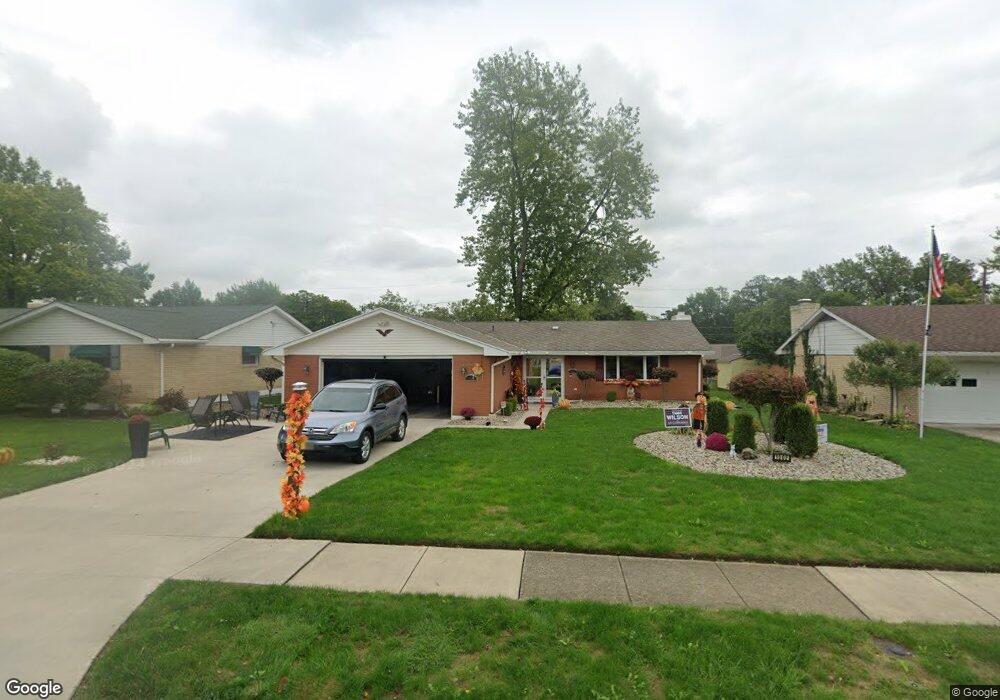
1002 Cornell Dr Lima, OH 45805
Westgate NeighborhoodEstimated Value: $140,000 - $168,663
About This Home
This home is located at 1002 Cornell Dr, Lima, OH 45805 and is currently estimated at $161,166, approximately $114 per square foot. 1002 Cornell Dr is a home located in Allen County with nearby schools including Heritage Elementary School, Lima West Middle School, and Lima North Middle School.
Ownership History
We collect this data history from publicly available records. To have your information removed, we recommend requesting removal directly through your county’s website.
Purchase Details
Purchase Details
Purchase Details
Home Values in the Area
Average Home Value in this Area
Purchase History
We collect this data history from publicly available records. To have your information removed, we recommend requesting removal directly through your county’s website.
| Date | Buyer | Sale Price | Title Company |
|---|---|---|---|
| $81,500 | -- | ||
| $50,000 | -- | ||
| -- | -- |
Tax History
We collect this data history from publicly available records. To have your information removed, we recommend requesting removal directly through your county’s website.
| Year | Tax Paid | Tax Assessment Tax Assessment Total Assessment is a certain percentage of the fair market value that is determined by local assessors to be the total taxable value of land and additions on the property. | Land | Improvement |
|---|---|---|---|---|
| 2025 | $1,593 | $44,560 | $6,340 | $38,220 |
| 2024 | $1,593 | $44,560 | $6,340 | $38,220 |
| 2023 | $1,338 | $32,280 | $4,590 | $27,690 |
| 2022 | $1,345 | $32,280 | $4,590 | $27,690 |
| 2021 | $1,425 | $32,280 | $4,590 | $27,690 |
| 2020 | $1,369 | $27,450 | $4,380 | $23,070 |
| 2019 | $1,369 | $27,450 | $4,380 | $23,070 |
| 2018 | $1,334 | $27,450 | $4,380 | $23,070 |
| 2017 | $1,322 | $26,360 | $4,380 | $21,980 |
| 2016 | $1,335 | $26,360 | $4,380 | $21,980 |
| 2015 | $1,295 | $26,360 | $4,380 | $21,980 |
| 2014 | $1,295 | $25,210 | $4,660 | $20,550 |
| 2013 | $1,260 | $25,210 | $4,660 | $20,550 |
Map
- 949 N Dale Dr
- 926 Crestwood Dr
- 1811 Mound Rd
- 1834 Latham Ave
- 1687 Rebecca Dr
- 814 Mackenzie Dr
- 1675 Rebecca Dr
- 1857 Latham Ave
- 122 Cottonwood Place
- 1828 University Blvd
- 1415 Hazel Ave
- 511 N Nixon Ave
- 1730 Homeward Ave
- 616 N Rosedale Ave
- 1929 W Wayne St
- 1580 W Robb Ave
- 100 Burlington Place
- 1517 Allentown Rd
- 813 N Cole St
- 340 N Dale Dr
- 1014 Cornell Dr
- 1018 Cornell Dr
- 1010 Cornell Dr
- 945 N Dale Dr
- 1022 Cornell Dr
- 941 N Dale Dr
- 1006 Cornell Dr
- 937 N Dale Dr
- 1013 Cornell Dr
- 1009 Cornell Dr
- 1026 Cornell Dr
- 1017 Cornell Dr
- 1005 Cornell Dr
- 933 N Dale Dr
- 933 Dale
- 953 N Dale Dr
- 1021 Cornell Dr
- 1001 Cornell Dr
- 1030 Cornell Dr
- 929 N Dale Dr
Ask me questions while you tour the home.