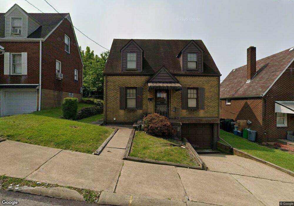
1002 Moore St Arnold, PA 15068
Estimated Value: $61,000 - $1,088,765
Studio
--
Bath
764
Sq Ft
$446/Sq Ft
Est. Value
About This Home
This home is located at 1002 Moore St, Arnold, PA 15068 and is currently estimated at $340,941, approximately $446 per square foot. 1002 Moore St is a home located in Westmoreland County with nearby schools including Mary Queen of Apostles School.
Ownership History
Date
Name
Owned For
Owner Type
Purchase Details
Closed on
Jun 30, 2022
Sold by
Scaries Ronald P
Bought by
Davis Benjamin
Current Estimated Value
Home Financials for this Owner
Home Financials are based on the most recent Mortgage that was taken out on this home.
Original Mortgage
$800,000
Outstanding Balance
$707,040
Interest Rate
5.09%
Mortgage Type
New Conventional
Estimated Equity
-$366,099
Create a Home Valuation Report for This Property
The Home Valuation Report is an in-depth analysis detailing your home's value as well as a comparison with similar homes in the area
Home Values in the Area
Average Home Value in this Area
Purchase History
| Date | Buyer | Sale Price | Title Company |
|---|---|---|---|
| Davis Benjamin | $960,000 | None Listed On Document |
Source: Public Records
Mortgage History
| Date | Status | Borrower | Loan Amount |
|---|---|---|---|
| Open | Davis Benjamin | $800,000 |
Source: Public Records
Tax History
| Year | Tax Paid | Tax Assessment Tax Assessment Total Assessment is a certain percentage of the fair market value that is determined by local assessors to be the total taxable value of land and additions on the property. | Land | Improvement |
|---|---|---|---|---|
| 2026 | $738 | $4,240 | $1,960 | $2,280 |
| 2025 | $726 | $4,240 | $1,960 | $2,280 |
| 2024 | $719 | $4,240 | $1,960 | $2,280 |
| 2023 | $683 | $4,240 | $1,960 | $2,280 |
| 2022 | $664 | $4,240 | $1,960 | $2,280 |
| 2021 | $650 | $4,240 | $1,960 | $2,280 |
| 2020 | $637 | $4,240 | $1,960 | $2,280 |
| 2019 | $635 | $4,240 | $1,960 | $2,280 |
| 2018 | $627 | $4,240 | $1,960 | $2,280 |
| 2017 | $627 | $5,320 | $1,960 | $3,360 |
| 2016 | $786 | $5,320 | $1,960 | $3,360 |
| 2015 | $786 | $5,320 | $1,960 | $3,360 |
| 2014 | $759 | $5,320 | $1,960 | $3,360 |
Source: Public Records
Map
Nearby Homes
- 2004 Woodmont Ave
- 1914 Alcoa Dr
- 1920 Kenneth Ave
- 1916 Kenneth Ave
- 1920 Ridge Ave
- 1910 Ridge Ave
- 1902 Kenneth Ave
- 1802 Alcoa Dr
- 1925 Kenneth Ave
- 1818 Kenneth Ave
- 1908 Constitution Blvd
- 430 Dana Dr
- 2014 Constitution Blvd
- 2020 Constitution Blvd
- 2110 Kenneth Ave
- 1909 Freeport Rd
- 2112 Kenneth Ave
- 344 Iroquois Dr
- 1731 Leishman Ave
- 1714 Victoria Ave
- 1004 Moore St
- 1938 Victoria Ave
- 1938 Victoria Ave
- 1000 Moore St
- 1936 Victoria Ave
- 2000 Victoria Ave
- 1932 Victoria Ave
- 1939 Woodmont Ave
- 1941 Woodmont Ave
- 1943 Victoria Ave Unit 1
- 1935 Woodmont Ave
- 1930 Victoria Ave
- 1933 Woodmont Ave Unit B
- 1933 Woodmont Ave
- 1937 Victoria Ave
- 1937 Woodmont Ave
- 501 Moore St
- 1939 Victoria Ave Unit 1941
- 29 Kens Imp Co Place Blvd
- 2006 Victoria Ave
Your Personal Tour Guide
Ask me questions while you tour the home.