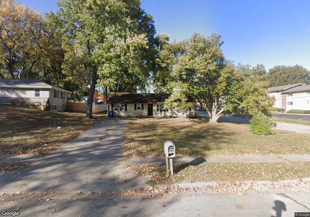
1002 Orchard Ave Liberty, MO 64068
Estimated Value: $223,941 - $264,000
3
Beds
2
Baths
1,200
Sq Ft
$202/Sq Ft
Est. Value
About This Home
This home is located at 1002 Orchard Ave, Liberty, MO 64068 and is currently estimated at $242,235, approximately $201 per square foot. 1002 Orchard Ave is a home located in Clay County with nearby schools including Ridgeview Elementary School, Heritage Middle School, and Liberty North High School.
Ownership History
Date
Name
Owned For
Owner Type
Purchase Details
Closed on
Jul 14, 2021
Sold by
Kv Missouri Holdings Llc
Bought by
Baber Mark A
Current Estimated Value
Purchase Details
Closed on
Apr 5, 2018
Sold by
Kv Holdingsd Llc
Bought by
Kv Missouri Holdinbgs Llc
Purchase Details
Closed on
Feb 26, 2018
Sold by
Berndt William M
Bought by
Kv Holdings Llc
Purchase Details
Closed on
Mar 26, 1998
Sold by
Summers Rex Miller and Summers Angelic C
Bought by
Berndt William M
Home Financials for this Owner
Home Financials are based on the most recent Mortgage that was taken out on this home.
Original Mortgage
$63,050
Interest Rate
6.62%
Create a Home Valuation Report for This Property
The Home Valuation Report is an in-depth analysis detailing your home's value as well as a comparison with similar homes in the area
Home Values in the Area
Average Home Value in this Area
Purchase History
| Date | Buyer | Sale Price | Title Company |
|---|---|---|---|
| Baber Mark A | -- | None Available | |
| Kv Missouri Holdinbgs Llc | -- | Stewart Title | |
| Kv Holdings Llc | $90,500 | None Available | |
| Berndt William M | -- | -- |
Source: Public Records
Mortgage History
| Date | Status | Borrower | Loan Amount |
|---|---|---|---|
| Previous Owner | Berndt William M | $63,050 |
Source: Public Records
Tax History
| Year | Tax Paid | Tax Assessment Tax Assessment Total Assessment is a certain percentage of the fair market value that is determined by local assessors to be the total taxable value of land and additions on the property. | Land | Improvement |
|---|---|---|---|---|
| 2025 | $1,574 | $23,500 | -- | -- |
| 2024 | $1,574 | $20,460 | -- | -- |
| 2023 | $1,600 | $20,460 | $0 | $0 |
| 2022 | $1,468 | $18,530 | $0 | $0 |
| 2021 | $1,456 | $18,525 | $3,610 | $14,915 |
| 2020 | $1,458 | $17,420 | $0 | $0 |
| 2019 | $1,458 | $17,420 | $0 | $0 |
Source: Public Records
Map
Nearby Homes
- 936 Hillside Ave
- 703 Hillside Ave
- 194 Camelot Dr
- 606 Thornton St
- 336 Georgia Ct
- 716 W Hurt St
- 1232 Old Manor Rd
- 203 N Ridge Ave
- 318 Lakeside Dr
- 1116 Owen Dr
- 116 N Fairview Ave
- 129 N Fairview Ave
- 419 Lakeside Dr
- 304 Lancelot Dr
- 408 W Murray Rd
- 506 Kings Ridge
- 523 Lancelot Dr
- 427 N Fairview Ave
- 1804 W Liberty Dr
- 1343 Camelot Dr
- 1016 Orchard Ave
- 312 Range Line Rd
- 1024 Orchard Ave
- 1001 Orchard Ave
- 1015 Elizabeth St
- 1017 Orchard Ave
- 1034 Orchard Ave
- 315 S Clayview Dr
- 1001 Middlebrook Dr
- 1037 Orchard Ave
- 400 Cherokee Dr
- 939 Cherokee Dr
- 305 S Clayview Dr
- 941 Elizabeth St
- 1039 Orchard Ave
- 1014 Elizabeth St
- 917 Elizabeth St
- 401 Cherokee Dr
- 238 Range Line Rd
- 1074 Elizabeth St
Your Personal Tour Guide
Ask me questions while you tour the home.