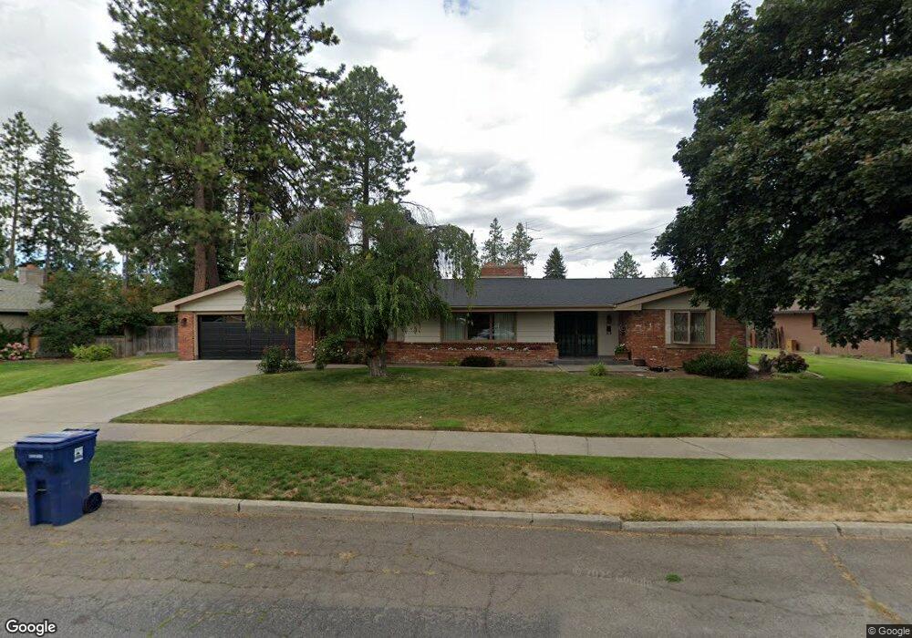
1002 W Comstock Ct Spokane, WA 99203
Comstock NeighborhoodEstimated Value: $790,000 - $1,071,000
4
Beds
4
Baths
2,426
Sq Ft
$375/Sq Ft
Est. Value
About This Home
This home is located at 1002 W Comstock Ct, Spokane, WA 99203 and is currently estimated at $909,432, approximately $374 per square foot. 1002 W Comstock Ct is a home located in Spokane County with nearby schools including Wilson Elementary School, Sacajawea Middle School, and Lewis & Clark High School.
Ownership History
Date
Name
Owned For
Owner Type
Purchase Details
Closed on
Oct 19, 1999
Sold by
Breeden James
Bought by
Hoy Michael C and Hoy Janet K
Current Estimated Value
Home Financials for this Owner
Home Financials are based on the most recent Mortgage that was taken out on this home.
Original Mortgage
$160,000
Outstanding Balance
$48,274
Interest Rate
7.82%
Estimated Equity
$861,158
Create a Home Valuation Report for This Property
The Home Valuation Report is an in-depth analysis detailing your home's value as well as a comparison with similar homes in the area
Home Values in the Area
Average Home Value in this Area
Purchase History
| Date | Buyer | Sale Price | Title Company |
|---|---|---|---|
| Hoy Michael C | $203,000 | Pioneer Title Company |
Source: Public Records
Mortgage History
| Date | Status | Borrower | Loan Amount |
|---|---|---|---|
| Open | Hoy Michael C | $160,000 |
Source: Public Records
Tax History
| Year | Tax Paid | Tax Assessment Tax Assessment Total Assessment is a certain percentage of the fair market value that is determined by local assessors to be the total taxable value of land and additions on the property. | Land | Improvement |
|---|---|---|---|---|
| 2025 | $8,126 | $796,100 | $230,000 | $566,100 |
| 2024 | $8,126 | $820,200 | $125,000 | $695,200 |
| 2023 | $7,372 | $778,500 | $105,000 | $673,500 |
| 2022 | $6,935 | $754,800 | $103,000 | $651,800 |
| 2021 | $6,773 | $570,400 | $88,000 | $482,400 |
| 2020 | $5,797 | $470,200 | $85,500 | $384,700 |
| 2019 | $5,152 | $431,400 | $75,000 | $356,400 |
| 2018 | $5,677 | $408,500 | $68,000 | $340,500 |
| 2017 | $5,013 | $367,300 | $65,000 | $302,300 |
| 2016 | $4,831 | $346,300 | $65,000 | $281,300 |
| 2015 | $4,457 | $312,600 | $60,000 | $252,600 |
| 2014 | -- | $310,900 | $52,500 | $258,400 |
| 2013 | -- | $0 | $0 | $0 |
Source: Public Records
Map
Nearby Homes
- 3223 S High Dr
- 3433 S High Dr
- 3630 S Downing Ct
- 407 W 29th Ave
- 403 W 29th Ave Unit 403
- 814 W 27th Ave
- 3325 S Bernard St
- 443 W 28th Ave
- 129 W 33rd Ave
- 403 W 28th Ave
- 3331 S Inland Empire Way
- 618 W 25th Ave
- 417 W 26th Ave
- 39 W 33rd Ave
- 207 W 27th Ave
- 48 W 37th Ave
- 49 W 29th Ave
- 404 W 26th Ave
- 1105 W 23rd Ave
- 16 W 37th Ave
- 930 W Comstock Ct
- 1010 W Comstock Ct
- 1001 W Melinda Ln
- 933 W Melinda Ln
- 1001 W Comstock Ct
- 1011 W Melinda Ln
- 927 W Melinda Ln
- 931 W Comstock Ct
- 1011 W Comstock Ct
- 931 W Comstock Ct
- 920 W Comstock Ct
- 3233 S Jefferson St
- 3229 S Jefferson St
- 1021 W Comstock Ct
- 921 W Comstock Ct
- 917 W Melinda Ln
- 934 W 33rd Ave
- 1010 W 33rd Ave
- 3225 S Jefferson St
Your Personal Tour Guide
Ask me questions while you tour the home.