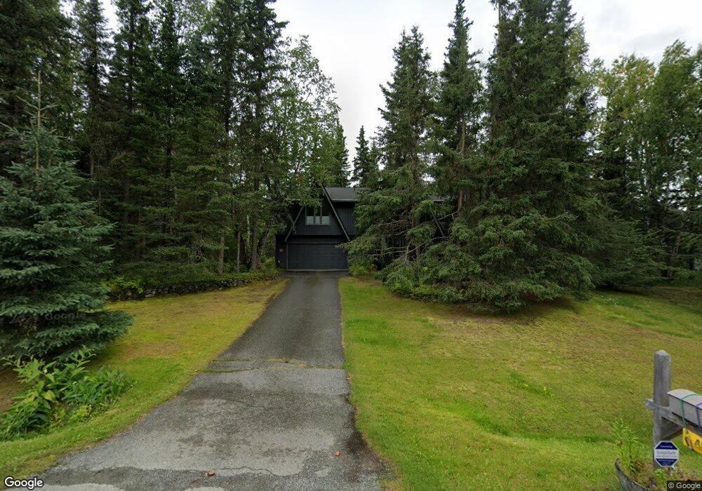
10020 Lone Tree Dr Anchorage, AK 99507
Mid-Hillside NeighborhoodEstimated Value: $496,000 - $679,000
4
Beds
3
Baths
2,499
Sq Ft
$236/Sq Ft
Est. Value
About This Home
This home is located at 10020 Lone Tree Dr, Anchorage, AK 99507 and is currently estimated at $590,759, approximately $236 per square foot. 10020 Lone Tree Dr is a home located in Anchorage Municipality with nearby schools including O'Malley Elementary School, Hanshew Middle School, and Service High School.
Ownership History
Date
Name
Owned For
Owner Type
Purchase Details
Closed on
Apr 19, 1993
Sold by
Fisher Patricia S
Bought by
Masaric Gloria A and Johnson Lawrence W
Current Estimated Value
Home Financials for this Owner
Home Financials are based on the most recent Mortgage that was taken out on this home.
Original Mortgage
$177,650
Interest Rate
7.43%
Mortgage Type
VA
Create a Home Valuation Report for This Property
The Home Valuation Report is an in-depth analysis detailing your home's value as well as a comparison with similar homes in the area
Home Values in the Area
Average Home Value in this Area
Purchase History
| Date | Buyer | Sale Price | Title Company |
|---|---|---|---|
| Masaric Gloria A | -- | -- |
Source: Public Records
Mortgage History
| Date | Status | Borrower | Loan Amount |
|---|---|---|---|
| Closed | Masaric Gloria A | $177,650 |
Source: Public Records
Tax History
| Year | Tax Paid | Tax Assessment Tax Assessment Total Assessment is a certain percentage of the fair market value that is determined by local assessors to be the total taxable value of land and additions on the property. | Land | Improvement |
|---|---|---|---|---|
| 2025 | $4,281 | $552,400 | $123,600 | $428,800 |
| 2024 | $4,281 | $510,700 | $117,700 | $393,000 |
| 2023 | $7,043 | $452,900 | $113,200 | $339,700 |
| 2022 | $3,832 | $444,100 | $113,200 | $330,900 |
| 2021 | $6,925 | $410,500 | $113,200 | $297,300 |
| 2020 | $2,787 | $398,600 | $113,200 | $285,400 |
| 2019 | $3,032 | $400,100 | $113,200 | $286,900 |
| 2018 | $2,977 | $396,600 | $128,400 | $268,200 |
| 2017 | $3,499 | $405,800 | $128,400 | $277,400 |
| 2016 | $4,810 | $414,900 | $128,400 | $286,500 |
| 2015 | $4,810 | $389,700 | $115,100 | $274,600 |
| 2014 | $4,810 | $368,500 | $100,400 | $268,100 |
Source: Public Records
Map
Nearby Homes
- 6324 Red Tree Cir
- 6601 Crooked Tree Dr
- 9850 Main Tree Dr
- 6700 Round Tree Dr
- 6770 Round Tree Dr
- 5300 Shaun Cir
- 000 Valley View Dr
- 0 Rd
- 5005 E 98th Ave
- 7509 Beacon Hill Dr
- L2 Totem Rd
- L5 Panorama Dr
- L7 Panorama Dr
- L13 Panorama Dr
- L3 Panorama Dr
- L1 Panorama Dr
- L9 Panorama Dr
- L6 Panorama Dr
- L2 Panorama Dr
- 11100 Hideaway Trail
- 10100 Lone Tree Dr
- 10101 Lone Tree Dr
- 6304 Red Tree Cir
- 10000 Lone Tree Dr
- 10111 Lone Tree Dr
- 10001 Craig Creek Cir
- 10181 Craig Creek Cir
- 10001 Lone Tree Dr
- 6243 Green Tree Cir
- 10121 Lone Tree Dr
- 6315 Red Tree Cir
- L2 Craig Creek Cir
- 6242 Green Tree Cir
- 9960 Lone Tree Dr
- 10201 Lone Tree Dr
- 9945 Lone Tree Dr
- 10000 Craig Creek Cir
- 10160 Craig Creek Cir
- 6325 Red Tree Cir
- 6222 Green Tree Cir
Your Personal Tour Guide
Ask me questions while you tour the home.