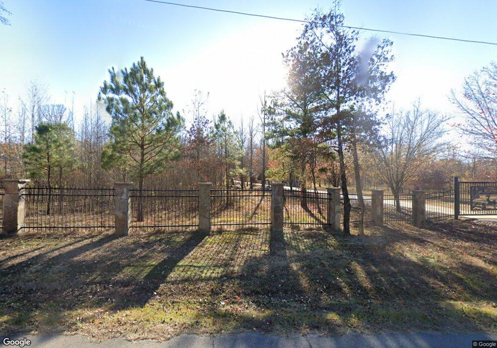
10021 Old Eighty Eight Rd Benton, AR 72019
Estimated Value: $310,000 - $529,306
Studio
2
Baths
1,808
Sq Ft
$224/Sq Ft
Est. Value
About This Home
This home is located at 10021 Old Eighty Eight Rd, Benton, AR 72019 and is currently estimated at $404,769, approximately $223 per square foot. 10021 Old Eighty Eight Rd is a home located in Saline County with nearby schools including Westbrook Elementary School, Harmony Grove Middle School, and Harmony Grove High School.
Ownership History
Date
Name
Owned For
Owner Type
Purchase Details
Closed on
Apr 6, 2017
Sold by
Givens Jerry D
Bought by
Givens Mary
Current Estimated Value
Purchase Details
Closed on
Sep 10, 2012
Sold by
Thomas Randy and Thomas Kathy
Bought by
Givens Family Rt
Purchase Details
Closed on
Sep 7, 2012
Sold by
Thomas Randy and Thomas Kathy
Bought by
Givens Family Rt
Purchase Details
Closed on
Oct 14, 1999
Bought by
Thomas
Create a Home Valuation Report for This Property
The Home Valuation Report is an in-depth analysis detailing your home's value as well as a comparison with similar homes in the area
Purchase History
| Date | Buyer | Sale Price | Title Company |
|---|---|---|---|
| Givens Mary | -- | None Available | |
| Givens Family Rt | $139,000 | None Available | |
| Givens Family Rt | $139,000 | None Available | |
| Thomas | $33,000 | -- |
Source: Public Records
Tax History
| Year | Tax Paid | Tax Assessment Tax Assessment Total Assessment is a certain percentage of the fair market value that is determined by local assessors to be the total taxable value of land and additions on the property. | Land | Improvement |
|---|---|---|---|---|
| 2025 | $3,394 | $124,289 | $35,964 | $88,325 |
| 2024 | $3,225 | $124,289 | $35,964 | $88,325 |
| 2023 | $3,064 | $124,289 | $35,964 | $88,325 |
| 2022 | $3,114 | $124,289 | $35,964 | $88,325 |
| 2021 | $2,973 | $59,900 | $5,060 | $54,840 |
| 2020 | $2,929 | $59,900 | $5,060 | $54,840 |
| 2019 | $2,761 | $59,900 | $5,060 | $54,840 |
| 2018 | $2,872 | $55,770 | $5,060 | $50,710 |
| 2017 | $2,539 | $55,770 | $5,060 | $50,710 |
| 2016 | $2,359 | $45,810 | $5,090 | $40,720 |
| 2015 | $2,359 | $45,810 | $5,090 | $40,720 |
| 2014 | $2,060 | $45,810 | $5,090 | $40,720 |
Source: Public Records
Map
Nearby Homes
- 8617 Pawnee Dr
- 2624 White Tail St
- 6032 Charley Place
- 7024 Hannah Ln
- Exit 114 Interstate 30 Service Rd
- 10620 Gunter Loop
- 10664 Gunter Loop
- 4133 Brody Crossing
- 107 Sawgrass Dr
- 105 Kapalua Cove
- 1919 Tudor Loop
- 9025 Diamond Ridge Dr
- 4638 Beaty Rd
- Lot 90 Harmony Village
- 123 Harmony Village Dr
- 113 Red Wing Way
- 0 Oklahoma Inn Rd Unit 24728946
- 0 Oklahoma Inn Rd Unit 24728947
- 115 Red Wing Way
- 119 Harmony Village Dr
- 10020 Townsend Rd
- 9913 Old Eighty Eight Rd
- 9833 Old Eighty Eight Rd
- 10023 Townsend Rd
- 10306 Townsend Rd
- 4205 Hampton Dr
- 10175 Old 88 Rd
- 0 Townsend Rd Unit 21003112
- 4228 Hampton Dr
- 9759 Old Eighty Eight Rd
- 8953 Wingate Dr
- 9625 Old Eighty Eight Rd
- 4165 Hampton Dr
- 10586 Townsend Rd
- 4157 Hampton Dr
- 6009 Zumbehl Cove
- 8929 Wingate Dr
- 6008 Zumbehl Cove
- 9501 Old Mill Rd
- 4153 Hampton Dr
Your Personal Tour Guide
Ask me questions while you tour the home.