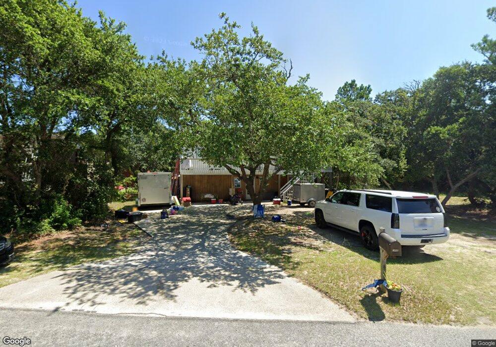
1003 Cardinal St Unit 9 Kill Devil Hills, NC 27948
Estimated Value: $499,000 - $571,000
4
Beds
2
Baths
1,848
Sq Ft
$282/Sq Ft
Est. Value
About This Home
This home is located at 1003 Cardinal St Unit 9, Kill Devil Hills, NC 27948 and is currently estimated at $521,648, approximately $282 per square foot. 1003 Cardinal St Unit 9 is a home located in Dare County with nearby schools including First Flight Elementary School, First Flight Middle School, and First Flight High School.
Ownership History
Date
Name
Owned For
Owner Type
Purchase Details
Closed on
Jan 1, 2018
Sold by
1003 Cardinal Llc
Bought by
Lane Derek C and Lane Sunday D
Current Estimated Value
Home Financials for this Owner
Home Financials are based on the most recent Mortgage that was taken out on this home.
Original Mortgage
$244,489
Interest Rate
4.5%
Mortgage Type
FHA
Purchase Details
Closed on
Jul 15, 2011
Sold by
Banser Tammy K and Banser Bruce Banser
Bought by
Guthrie Properties Llc
Create a Home Valuation Report for This Property
The Home Valuation Report is an in-depth analysis detailing your home's value as well as a comparison with similar homes in the area
Home Values in the Area
Average Home Value in this Area
Purchase History
We collect this data history from publicly available records. To have your information removed, we recommend requesting removal directly through your county’s website.
| Date | Buyer | Sale Price | Title Company |
|---|---|---|---|
| Lane Derek C | $249,000 | -- | |
| Guthrie Properties Llc | $149,000 | None Available |
Source: Public Records
Mortgage History
We collect this data history from publicly available records. To have your information removed, we recommend requesting removal directly through your county’s website.
| Date | Status | Borrower | Loan Amount |
|---|---|---|---|
| Previous Owner | Lane Derek C | $244,489 |
Source: Public Records
Tax History
| Year | Tax Paid | Tax Assessment Tax Assessment Total Assessment is a certain percentage of the fair market value that is determined by local assessors to be the total taxable value of land and additions on the property. | Land | Improvement |
|---|---|---|---|---|
| 2025 | $2,591 | $467,800 | $183,800 | $284,000 |
| 2024 | $2,442 | $313,800 | $89,300 | $224,500 |
| 2023 | $2,438 | $322,699 | $89,300 | $233,399 |
| 2022 | $2,283 | $316,800 | $89,300 | $227,500 |
| 2021 | $2,261 | $313,800 | $89,300 | $224,500 |
| 2020 | $1,855 | $257,500 | $89,300 | $168,200 |
| 2019 | $1,505 | $173,000 | $69,800 | $103,200 |
| 2018 | $1,472 | $173,000 | $69,800 | $103,200 |
| 2017 | $1,472 | $173,000 | $69,800 | $103,200 |
| 2016 | $1,403 | $173,000 | $69,800 | $103,200 |
| 2014 | $1,351 | $173,000 | $69,800 | $103,200 |
Source: Public Records
Map
Nearby Homes
- 302 W Clark St Unit Lot 6
- 1106 Cardinal St
- 1203 Cardinal St Unit Lot 12
- 0 W Martin St
- 707 Fox St Unit Lot 5
- 0 W Boundary St Unit Lot 1-R 130568
- 1208 -2 Swan St Unit 2
- 1208 -1 Swan St Unit 1
- 1208 Swan St Unit 4
- 1208 Swan St Unit 2
- 1208 Swan St Unit 5
- 1208 Swan St Unit 1
- 200 E Martin St Unit 302
- 200 E Martin St Unit 309
- 200 E Martin St Unit 304
- 205 Calvin St Unit Lot 3
- 1209 Wrightsville Blvd Unit Lot 26
- 205 W Atlantic St Unit Lot 3
- 1306 Theodore St Unit Lot 4
- 1014 S Virginia Dare Trail Unit 402
- 1003 Cardinal St
- 1005 Cardinal St
- 303 W Clark St
- 1000 Cardinal St
- 1004 Fox St
- 0 Cardinal St Unit 92154
- 0 Cardinal St Unit 117334
- 0 Cardinal St Unit 115360
- 0 Cardinal St Unit 111235
- 1002 Fox St Unit 2
- 1002 Fox St
- 1002 Cardinal St Unit 2
- 1002 Cardinal St
- 304 W Airstrip Rd
- 304 W Airstrip Rd Unit Lot 6
- 302 W Airstrip Rd
- 302 W Clark St
- 306 W Airstrip Rd
- 300 W Airstrip Rd
- 1004 Cardinal St
Your Personal Tour Guide
Ask me questions while you tour the home.