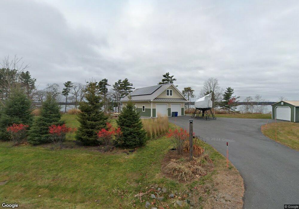
1004 Mere Point Rd Brunswick, ME 04011
Estimated Value: $1,076,000 - $1,900,000
1
Bed
1
Bath
840
Sq Ft
$1,628/Sq Ft
Est. Value
About This Home
This home is located at 1004 Mere Point Rd, Brunswick, ME 04011 and is currently estimated at $1,367,329, approximately $1,627 per square foot. 1004 Mere Point Rd is a home with nearby schools including Kate Furbish Elementary School, Brunswick Jr High School, and Brunswick High School.
Ownership History
Date
Name
Owned For
Owner Type
Purchase Details
Closed on
Sep 24, 2024
Sold by
Johanson Bradford L and Johanson Godelieve C
Bought by
Bradford L Johanson Lt and Johanson
Current Estimated Value
Create a Home Valuation Report for This Property
The Home Valuation Report is an in-depth analysis detailing your home's value as well as a comparison with similar homes in the area
Home Values in the Area
Average Home Value in this Area
Purchase History
| Date | Buyer | Sale Price | Title Company |
|---|---|---|---|
| Bradford L Johanson Lt | -- | None Available | |
| Bradford L Johanson Lt | -- | None Available |
Source: Public Records
Tax History
| Year | Tax Paid | Tax Assessment Tax Assessment Total Assessment is a certain percentage of the fair market value that is determined by local assessors to be the total taxable value of land and additions on the property. | Land | Improvement |
|---|---|---|---|---|
| 2024 | $11,551 | $484,300 | $334,000 | $150,300 |
| 2023 | $11,279 | $484,300 | $334,000 | $150,300 |
| 2022 | $10,435 | $481,100 | $334,000 | $147,100 |
| 2021 | $9,969 | $477,900 | $334,000 | $143,900 |
| 2020 | $8,894 | $436,600 | $334,000 | $102,600 |
| 2019 | $8,610 | $436,600 | $334,000 | $102,600 |
| 2018 | $8,260 | $436,600 | $334,000 | $102,600 |
| 2017 | $8,020 | $436,600 | $334,000 | $102,600 |
| 2016 | $7,478 | $254,800 | $186,100 | $68,700 |
| 2015 | $7,127 | $251,300 | $186,100 | $65,200 |
| 2014 | $6,749 | $246,300 | $186,100 | $60,200 |
| 2013 | $6,537 | $246,300 | $186,100 | $60,200 |
Source: Public Records
Map
Nearby Homes
- Map 80 Lot 18-0 White Island
- 83 Central Ave
- 0 Gundalo Gap Rd Unit 1638108
- 371 Maquoit Rd
- 10 Newfield Rd
- 70 Maquoit Dr
- 17 Stone Ridge Dr
- 5 Round Hill Ln
- 30 Driftwood Tide Ln
- 46 Casco Rd
- 2 Remington Way
- Lot 13B Pleasant Hill Rd
- 250 Mere Point Rd
- 36 Jewell St
- Lot 2B Allen Point Rd
- 71 Merganser Way
- 52 Birch Point Rd
- 14 Circus
- 60 Pleasant Hill Rd
- 28 Lynch St
- 1000 Mere Point
- 1000 Mere Point Rd
- 1014 Mere Point Rd
- 0 Mere Point Rd
- 1016 Mere Point Rd
- 1024 Mere Point Rd
- 1003 Mere Point Rd
- 978 Mere Point Rd
- 1028 Mere Point Rd
- 17 Blackstone Club Rd
- 35 Blackstone Club Rd
- 1036 Mere Point Rd
- 1044 Mere Point Rd
- 964 Mere Point Rd
- 4 Wild Aster Ln
- 27 Blackstone Club Rd
- 1052 Mere Point Rd
- 946 Mere Point Rd
- 40 Blackstone Club Rd
- 42 Blackstone Club Rd
Your Personal Tour Guide
Ask me questions while you tour the home.