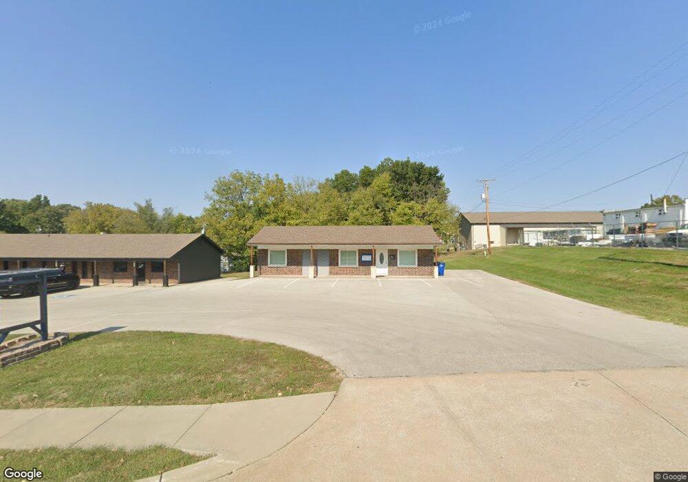
1005 Cedar St Pleasant Hill, MO 64080
Studio
--
Bath
1,152
Sq Ft
0.31
Acres Lot
About This Home
This home is located at 1005 Cedar St, Pleasant Hill, MO 64080. 1005 Cedar St is a home located in Cass County with nearby schools including Pleasant Hill Primary School, Pleasant Hill Elementary School, and Pleasant Hill Middle School.
Ownership History
Date
Name
Owned For
Owner Type
Purchase Details
Closed on
Feb 16, 2011
Sold by
Dds Michael M Tanner
Bought by
Davis Robert M
Home Financials for this Owner
Home Financials are based on the most recent Mortgage that was taken out on this home.
Original Mortgage
$90,000
Outstanding Balance
$61,162
Interest Rate
4.79%
Mortgage Type
Commercial
Purchase Details
Closed on
Feb 27, 2009
Sold by
Dds Michael M Tanner
Bought by
County Of Jackson
Home Financials for this Owner
Home Financials are based on the most recent Mortgage that was taken out on this home.
Original Mortgage
$88,000
Interest Rate
5.06%
Mortgage Type
Unknown
Create a Home Valuation Report for This Property
The Home Valuation Report is an in-depth analysis detailing your home's value as well as a comparison with similar homes in the area
Home Values in the Area
Average Home Value in this Area
Purchase History
We collect this data history from publicly available records. To have your information removed, we recommend requesting removal directly through your county’s website.
| Date | Buyer | Sale Price | Title Company |
|---|---|---|---|
| Davis Robert M | -- | -- | |
| County Of Jackson | -- | None Available |
Source: Public Records
Mortgage History
We collect this data history from publicly available records. To have your information removed, we recommend requesting removal directly through your county’s website.
| Date | Status | Borrower | Loan Amount |
|---|---|---|---|
| Open | Davis Robert M | $90,000 | |
| Previous Owner | County Of Jackson | $88,000 |
Source: Public Records
Tax History
| Year | Tax Paid | Tax Assessment Tax Assessment Total Assessment is a certain percentage of the fair market value that is determined by local assessors to be the total taxable value of land and additions on the property. | Land | Improvement |
|---|---|---|---|---|
| 2025 | $3,118 | $42,740 | $9,260 | $33,480 |
| 2024 | $3,118 | $40,230 | $8,420 | $31,810 |
| 2023 | $3,097 | $40,230 | $8,420 | $31,810 |
| 2022 | $2,817 | $35,950 | $8,420 | $27,530 |
| 2021 | $2,745 | $35,950 | $8,420 | $27,530 |
| 2020 | $2,608 | $34,920 | $7,530 | $27,390 |
| 2019 | $2,575 | $34,920 | $7,530 | $27,390 |
| 2018 | $2,608 | $34,920 | $7,530 | $27,390 |
| 2017 | $2,077 | $34,920 | $7,530 | $27,390 |
| 2016 | $2,077 | $27,710 | $7,530 | $20,180 |
| 2015 | $2,102 | $27,710 | $7,530 | $20,180 |
| 2014 | $2,110 | $27,710 | $7,530 | $20,180 |
| 2013 | -- | $27,710 | $7,530 | $20,180 |
Source: Public Records
Map
Nearby Homes
- 208 N Independence St
- 1106 College Hill St
- 204 Lexington Rd
- 712 Locust St
- 0 Locust St
- 213 Sitter St
- 201 Sitter St
- 423 N Armstrong St
- 125 S Campbell St
- 707 Christopher Dr
- 1413 Country Club Dr
- 502 N Boardman St
- 117 N Boardman St
- 108 S Front St
- 812 Riffle Dr
- 810 Riffle Dr
- 201 Birdie Dr Unit 203
- 903 Ingleside Dr
- 902 Riffle Dr
- 219 S Front St
- 1001 Cedar St
- 110 N Independence St
- 1010 E Oak St
- 100 S Independence St
- 1000 E Oak St
- 104 S Independence St
- 930 E Oak St
- 101 S Independence St
- 930 Oak St
- 103 S Independence St
- 0 7 Hwy Unit 1882579
- 0 7 Hwy Unit 2203913
- 0 7 Hwy Unit 2153456
- 0 Route 7
- 907 Cedar St
- 908 Cedar St
- 201 N State Route 7
- 201 N State Route 7
- 206 N State Route 7
- 201 N Independence St
Your Personal Tour Guide
Ask me questions while you tour the home.