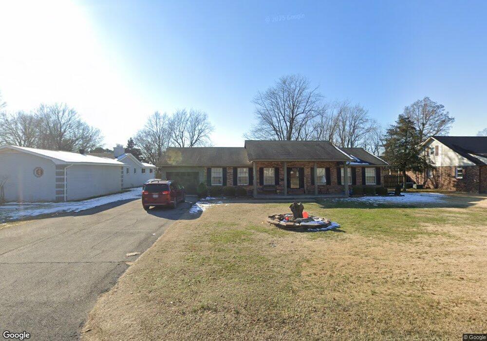
1005 Davis Blvd Sikeston, MO 63801
Estimated Value: $187,816 - $239,000
Studio
--
Bath
1,710
Sq Ft
$122/Sq Ft
Est. Value
About This Home
This home is located at 1005 Davis Blvd, Sikeston, MO 63801 and is currently estimated at $209,204, approximately $122 per square foot. 1005 Davis Blvd is a home with nearby schools including Sikeston Senior High School, St. Francis Xavier School, and The Christian Academy.
Ownership History
Date
Name
Owned For
Owner Type
Purchase Details
Closed on
Sep 28, 2018
Sold by
Shelton Abbey D
Bought by
Mcdowell Andrew and Mcdowell Sara
Current Estimated Value
Home Financials for this Owner
Home Financials are based on the most recent Mortgage that was taken out on this home.
Original Mortgage
$124,699
Outstanding Balance
$108,745
Interest Rate
4.5%
Mortgage Type
FHA
Estimated Equity
$100,459
Purchase Details
Closed on
Oct 29, 2013
Sold by
Hough Lee Ann and Beck Lee Ann
Bought by
Waller Irvin Gordon and Waller Deborah K
Home Financials for this Owner
Home Financials are based on the most recent Mortgage that was taken out on this home.
Original Mortgage
$81,000
Interest Rate
4.28%
Create a Home Valuation Report for This Property
The Home Valuation Report is an in-depth analysis detailing your home's value as well as a comparison with similar homes in the area
Home Values in the Area
Average Home Value in this Area
Purchase History
| Date | Buyer | Sale Price | Title Company |
|---|---|---|---|
| Mcdowell Andrew | -- | None Available | |
| Waller Irvin Gordon | -- | -- |
Source: Public Records
Mortgage History
| Date | Status | Borrower | Loan Amount |
|---|---|---|---|
| Open | Mcdowell Andrew | $124,699 | |
| Previous Owner | Waller Irvin Gordon | $81,000 |
Source: Public Records
Tax History
| Year | Tax Paid | Tax Assessment Tax Assessment Total Assessment is a certain percentage of the fair market value that is determined by local assessors to be the total taxable value of land and additions on the property. | Land | Improvement |
|---|---|---|---|---|
| 2025 | $843 | $19,580 | $0 | $0 |
| 2024 | $8 | $17,720 | $0 | $0 |
| 2023 | $845 | $17,720 | $0 | $0 |
| 2022 | $845 | $17,100 | $0 | $0 |
| 2021 | $844 | $17,100 | $0 | $0 |
| 2020 | $671 | $16,490 | $0 | $0 |
| 2019 | -- | $16,490 | $0 | $0 |
| 2018 | -- | $16,720 | $0 | $0 |
| 2017 | -- | $16,720 | $0 | $0 |
| 2014 | -- | $14,580 | $0 | $0 |
| 2011 | -- | $14,590 | $0 | $0 |
Source: Public Records
Map
Nearby Homes
- 908 Davis Blvd
- 719 N West St
- 4 N West St
- 118 Greenbriar Dr
- 307 Circle Dr
- 202 N Brushwick Ave
- 218 Thomas Dr
- 807 Sikes Ave
- 627 Vernon Ave
- 103 Groves Estates Ct
- 901 Moore Ave
- 701 Sikes Ave
- 1304 Primrose Dr
- 312 Tanner St
- 628 Moore Ave
- 203 N Kingshighway St Unit A & B
- 318 Kendall St
- 723 Kendall St
- 0 E Salcedo Rd
- 406 W Gladys St
- 1003 Davis Blvd
- 1007 Davis Blvd
- 1001 Davis Blvd
- 1004 Davis Blvd
- 1006 Davis Blvd
- 921 Davis Blvd
- 1011 Davis Blvd
- 317 Kramer Dr
- 317 Powers Ave
- 1013 Davis Blvd
- 932 Davis Blvd
- 314 Powers Ave
- 919 Davis Blvd
- 315 Kramer Dr
- 320 Kramer Dr
- 930 Davis Blvd
- 1015 Davis Blvd
- 312 Powers Ave
- 100 David Dr
- 1014 Davis Blvd
Your Personal Tour Guide
Ask me questions while you tour the home.