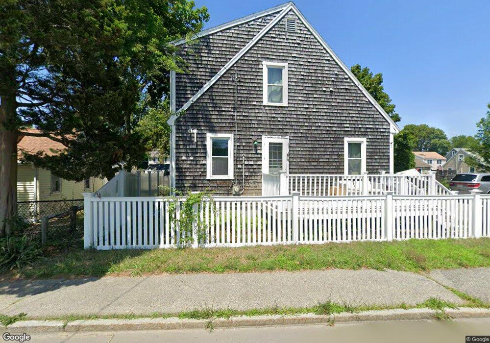
1006 Ocean St Marshfield, MA 02050
Ocean Bluff-Brant Rock NeighborhoodEstimated Value: $585,000 - $676,000
4
Beds
2
Baths
1,650
Sq Ft
$382/Sq Ft
Est. Value
About This Home
This home is located at 1006 Ocean St, Marshfield, MA 02050 and is currently estimated at $629,781, approximately $381 per square foot. 1006 Ocean St is a home located in Plymouth County with nearby schools including Daniel Webster, Furnace Brook Middle School, and Marshfield High School.
Ownership History
Date
Name
Owned For
Owner Type
Purchase Details
Closed on
May 24, 2005
Sold by
Mackinnon Michael F and Mackinnon Tracey
Bought by
Murphy Alice T
Current Estimated Value
Home Financials for this Owner
Home Financials are based on the most recent Mortgage that was taken out on this home.
Original Mortgage
$50,000
Outstanding Balance
$26,254
Interest Rate
5.95%
Mortgage Type
Purchase Money Mortgage
Estimated Equity
$603,527
Create a Home Valuation Report for This Property
The Home Valuation Report is an in-depth analysis detailing your home's value as well as a comparison with similar homes in the area
Home Values in the Area
Average Home Value in this Area
Purchase History
| Date | Buyer | Sale Price | Title Company |
|---|---|---|---|
| Murphy Alice T | $349,000 | -- |
Source: Public Records
Mortgage History
| Date | Status | Borrower | Loan Amount |
|---|---|---|---|
| Open | Murphy Alice T | $50,000 | |
| Previous Owner | Murphy Alice T | $318,400 | |
| Previous Owner | Murphy Alice T | $15,000 | |
| Previous Owner | Murphy Alice T | $101,527 |
Source: Public Records
Tax History
| Year | Tax Paid | Tax Assessment Tax Assessment Total Assessment is a certain percentage of the fair market value that is determined by local assessors to be the total taxable value of land and additions on the property. | Land | Improvement |
|---|---|---|---|---|
| 2025 | $4,410 | $445,500 | $180,200 | $265,300 |
| 2024 | $4,292 | $413,100 | $171,600 | $241,500 |
| 2023 | $3,853 | $361,300 | $153,300 | $208,000 |
| 2022 | $3,853 | $297,500 | $120,100 | $177,400 |
| 2021 | $3,666 | $277,900 | $120,100 | $157,800 |
| 2020 | $3,492 | $262,000 | $104,200 | $157,800 |
| 2019 | $3,364 | $251,400 | $104,200 | $147,200 |
| 2018 | $3,261 | $243,900 | $104,200 | $139,700 |
| 2017 | $3,117 | $227,200 | $104,200 | $123,000 |
| 2016 | $3,018 | $217,400 | $100,500 | $116,900 |
| 2015 | $2,889 | $217,400 | $100,500 | $116,900 |
| 2014 | $2,707 | $203,700 | $92,000 | $111,700 |
Source: Public Records
Map
Nearby Homes
- 91 Winslow St
- 17 Eden Rd
- 1221 Ocean St
- 1 John St
- 14 Concord St
- 30 Chandler Dr
- 68 Leland Rd
- 99 Ashburton Ave
- 78 Tower Ave
- 93 Franklin St
- 42 Carr Rd
- 308 Ocean St
- 130 Winslow Cemetery Rd
- 1192 S River St
- 256 Ocean St
- 92 Salt Meadow Waye
- 255 Ridge Rd
- 39 High Beacon Way
- 86 Telegraph Hill Rd
- 10 Spyglass Landing Dr
- 1010 Ocean St
- 27 Breakwater Ct
- 23 Breakwater Ct
- 33 Breakwater Ct
- 1011 Ocean St
- 4 Leon St
- 1001 Ocean St
- 19 Breakwater Ct
- 1020 Ocean St
- 1017 Ocean St
- 10 Leon St
- 13 Breakwater Ct
- 30 Breakwater Ct
- 30 Breakwater Ct
- 30 Breakwater Ct Unit 1
- 1021 Ocean St
- 1028 Ocean St
- 22 Breakwater Ct
- 999 Ocean St
- 40 Breakwater Ct
Your Personal Tour Guide
Ask me questions while you tour the home.