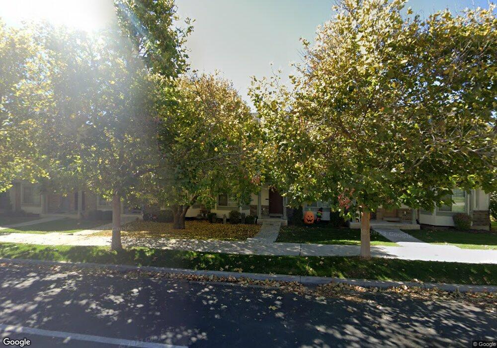
1007 Independence Ave Provo, UT 84604
Rivergrove NeighborhoodEstimated Value: $381,934 - $400,000
3
Beds
3
Baths
1,460
Sq Ft
$267/Sq Ft
Est. Value
About This Home
This home is located at 1007 Independence Ave, Provo, UT 84604 and is currently estimated at $389,484, approximately $266 per square foot. 1007 Independence Ave is a home located in Utah County with nearby schools including Westridge Elementary School, Dixon Middle School, and Provo High School.
Ownership History
Date
Name
Owned For
Owner Type
Purchase Details
Closed on
Feb 28, 2022
Sold by
Suburban Land Reserve Inc
Bought by
Rainy Homes Inc
Current Estimated Value
Purchase Details
Closed on
Jan 25, 2021
Sold by
Thornburgh Mark A
Bought by
Thornburgh Mark A and Thornburgh Katie Joanne
Home Financials for this Owner
Home Financials are based on the most recent Mortgage that was taken out on this home.
Original Mortgage
$170,700
Interest Rate
2.67%
Mortgage Type
New Conventional
Purchase Details
Closed on
Apr 11, 2008
Sold by
Independence Avenue Llc
Bought by
Thornburgh Mark A
Home Financials for this Owner
Home Financials are based on the most recent Mortgage that was taken out on this home.
Original Mortgage
$206,216
Interest Rate
6.22%
Mortgage Type
FHA
Create a Home Valuation Report for This Property
The Home Valuation Report is an in-depth analysis detailing your home's value as well as a comparison with similar homes in the area
Home Values in the Area
Average Home Value in this Area
Purchase History
| Date | Buyer | Sale Price | Title Company |
|---|---|---|---|
| Rainy Homes Inc | -- | First American Title | |
| Thornburgh Mark A | -- | Accommodation | |
| Thornburgh Mark A | -- | First American Orem |
Source: Public Records
Mortgage History
| Date | Status | Borrower | Loan Amount |
|---|---|---|---|
| Previous Owner | Thornburgh Mark A | $170,700 | |
| Previous Owner | Thornburgh Mark A | $206,216 |
Source: Public Records
Tax History
| Year | Tax Paid | Tax Assessment Tax Assessment Total Assessment is a certain percentage of the fair market value that is determined by local assessors to be the total taxable value of land and additions on the property. | Land | Improvement |
|---|---|---|---|---|
| 2025 | $2,073 | $205,645 | -- | -- |
| 2024 | $2,073 | $204,050 | $0 | $0 |
| 2023 | $1,946 | $188,815 | $0 | $0 |
| 2022 | $2,007 | $196,405 | $0 | $0 |
| 2021 | $1,573 | $268,500 | $40,300 | $228,200 |
| 2020 | $1,616 | $258,500 | $33,600 | $224,900 |
| 2019 | $1,554 | $258,500 | $33,600 | $224,900 |
| 2018 | $1,393 | $235,000 | $29,000 | $206,000 |
| 2017 | $1,233 | $114,345 | $0 | $0 |
| 2016 | $1,203 | $103,950 | $0 | $0 |
| 2015 | $1,133 | $99,000 | $0 | $0 |
| 2014 | $1,069 | $97,350 | $0 | $0 |
Source: Public Records
Map
Nearby Homes
- 986 Independence Ave
- 962 Independence Ave
- 927 Independence Ave
- 1903 W 890 N
- 925 N 1760 W
- 1107 Independence Ave
- 1234 Uinta Dr
- 1580 W 900 N
- 579 N Geneva Rd
- 1524 Merlin Dr
- 1515 N 1830 W
- 1441 Arthur Dr
- 1415 Arthur Dr
- 1407 Arthur Dr
- 1271 N 2470 W
- 407 N 2150 W
- 1616 N 2100 W
- 2507 W 520 N
- 1174 W 1050 N
- 1639 N 2250 W Unit 1
- 1003 Independence Ave
- 1011 Independence Ave
- 999 Independence Ave
- 999 Independence Ave Unit 5
- 1015 Independence Ave
- 995 Independence Ave
- 991 Independence Ave
- 1003 N 1880 St W
- 1015 N 1880 St W Unit 1
- 991 N 1880 St W Unit 7
- 995 N 1880 St W Unit 6
- 981 N 1880 St W Unit 9
- 1885 W 1020 N Unit 25
- 1021 Independence Ave
- 1021 Independence Ave Unit 45
- 1891 W 1020 N Unit 26
- 985 Independence Ave
- 985 Independence Ave Unit 8
- 1025 Independence Ave
- 1025 Independence Ave Unit 46
Your Personal Tour Guide
Ask me questions while you tour the home.