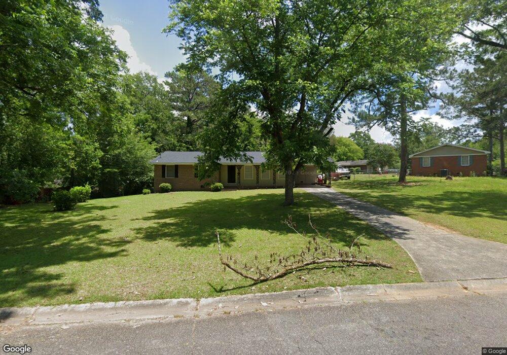
1008 Normandy Rd Macon, GA 31210
Estimated Value: $143,000 - $199,000
3
Beds
2
Baths
1,365
Sq Ft
$122/Sq Ft
Est. Value
About This Home
This home is located at 1008 Normandy Rd, Macon, GA 31210 and is currently estimated at $166,992, approximately $122 per square foot. 1008 Normandy Rd is a home located in Bibb County with nearby schools including Lane Elementary School, Howard Middle School, and Howard High School.
Ownership History
Date
Name
Owned For
Owner Type
Purchase Details
Closed on
May 16, 2025
Sold by
Smith Madison
Bought by
Godwulf Properties Llc
Current Estimated Value
Purchase Details
Closed on
May 9, 2007
Sold by
Bryant Judy Ann Thames and Thorpe Bonita Susan
Bought by
Smith Madison
Home Financials for this Owner
Home Financials are based on the most recent Mortgage that was taken out on this home.
Original Mortgage
$101,518
Interest Rate
6.11%
Mortgage Type
Unknown
Create a Home Valuation Report for This Property
The Home Valuation Report is an in-depth analysis detailing your home's value as well as a comparison with similar homes in the area
Purchase History
| Date | Buyer | Sale Price | Title Company |
|---|---|---|---|
| Godwulf Properties Llc | -- | None Listed On Document | |
| Godwulf Properties Llc | -- | None Listed On Document | |
| Smith Madison | $98,000 | None Available |
Source: Public Records
Mortgage History
| Date | Status | Borrower | Loan Amount |
|---|---|---|---|
| Previous Owner | Smith Madison | $101,518 |
Source: Public Records
Tax History
| Year | Tax Paid | Tax Assessment Tax Assessment Total Assessment is a certain percentage of the fair market value that is determined by local assessors to be the total taxable value of land and additions on the property. | Land | Improvement |
|---|---|---|---|---|
| 2025 | $1,334 | $54,288 | $10,750 | $43,538 |
| 2024 | $1,379 | $54,288 | $10,750 | $43,538 |
| 2023 | $1,037 | $40,850 | $8,600 | $32,250 |
| 2022 | $1,417 | $40,934 | $7,822 | $33,112 |
| 2021 | $1,599 | $42,075 | $7,822 | $34,253 |
| 2020 | $1,280 | $32,975 | $6,257 | $26,718 |
| 2019 | $1,291 | $32,975 | $6,257 | $26,718 |
| 2018 | $2,157 | $32,975 | $6,257 | $26,718 |
| 2017 | $1,207 | $32,205 | $5,944 | $26,261 |
| 2016 | $985 | $28,467 | $5,632 | $22,836 |
| 2015 | $1,308 | $26,699 | $5,006 | $21,694 |
| 2014 | $1,504 | $26,699 | $5,006 | $21,694 |
Source: Public Records
Map
Nearby Homes
- 1024 Normandy Rd
- 1209 Normandy Rd
- 122 Lundy Ct
- 1161 Ousley Place
- 840 Balim Ct
- 835 Old Lundy Rd
- 3640 Northside Dr
- 3678 Northside Dr
- 3622 Northside Dr
- 3602 Northside Dr
- 636 Lokchapee Ridge
- 843 Green Oak Terrace
- 870 Glen Hill Ct
- 3500 Northside Dr
- 166 Brookstone Way
- 177 Brookstone Way
- 1422 Forest Hill Rd
- 673 Commanche Dr
- 681 Forest Lake Dr N
- 556 Commanche Place
- 1000 Normandy Rd
- 1044 Normandy Rd
- 1035 Newport Rd
- 1054 Normandy Rd
- 1009 Normandy Rd
- 1017 Normandy Rd
- 1015 Newport Rd
- 1041 Newport Rd
- 1066 Normandy Rd
- 1026 Newport Rd
- 1025 Normandy Rd
- 1033 Normandy Rd
- 1049 Newport Rd
- 1078 Normandy Rd
- 1038 Newport Rd
- 1041 Normandy Rd
- 1051 Normandy Rd
- 1027 Glenbrook Rd
- 1037 Glenbrook Rd
- 1210 Newport Place
Your Personal Tour Guide
Ask me questions while you tour the home.