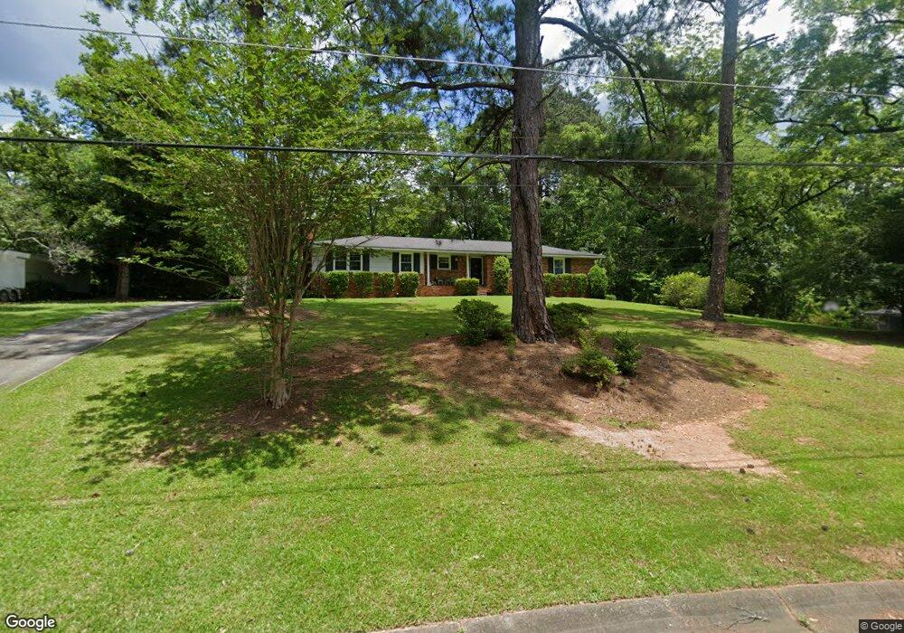
1009 Glenbrook Rd Macon, GA 31210
Estimated Value: $162,251 - $188,000
3
Beds
2
Baths
1,528
Sq Ft
$117/Sq Ft
Est. Value
About This Home
This home is located at 1009 Glenbrook Rd, Macon, GA 31210 and is currently estimated at $178,313, approximately $116 per square foot. 1009 Glenbrook Rd is a home located in Bibb County with nearby schools including Lane Elementary School, Howard Middle School, and Howard High School.
Ownership History
Date
Name
Owned For
Owner Type
Purchase Details
Closed on
Nov 12, 2013
Sold by
Meeks April N
Bought by
Meeks Jamie C
Current Estimated Value
Purchase Details
Closed on
Apr 22, 2009
Sold by
Shurley Carl B and Shurley Linda L
Bought by
Meeks Jamie C and Meeks April N
Home Financials for this Owner
Home Financials are based on the most recent Mortgage that was taken out on this home.
Original Mortgage
$115,764
Outstanding Balance
$72,550
Interest Rate
4.86%
Mortgage Type
FHA
Estimated Equity
$105,763
Create a Home Valuation Report for This Property
The Home Valuation Report is an in-depth analysis detailing your home's value as well as a comparison with similar homes in the area
Purchase History
| Date | Buyer | Sale Price | Title Company |
|---|---|---|---|
| Meeks Jamie C | -- | None Available | |
| Meeks Jamie C | $117,900 | None Available |
Source: Public Records
Mortgage History
| Date | Status | Borrower | Loan Amount |
|---|---|---|---|
| Open | Meeks Jamie C | $115,764 |
Source: Public Records
Tax History
| Year | Tax Paid | Tax Assessment Tax Assessment Total Assessment is a certain percentage of the fair market value that is determined by local assessors to be the total taxable value of land and additions on the property. | Land | Improvement |
|---|---|---|---|---|
| 2025 | $1,448 | $58,916 | $12,750 | $46,166 |
| 2024 | $1,496 | $58,916 | $12,750 | $46,166 |
| 2023 | $1,128 | $44,397 | $10,200 | $34,197 |
| 2022 | $1,548 | $44,719 | $9,702 | $35,017 |
| 2021 | $1,745 | $45,926 | $9,702 | $36,224 |
| 2020 | $1,398 | $36,017 | $7,762 | $28,255 |
| 2019 | $1,410 | $36,017 | $7,762 | $28,255 |
| 2018 | $2,339 | $36,017 | $7,762 | $28,255 |
| 2017 | $1,317 | $35,146 | $7,374 | $27,772 |
| 2016 | $1,077 | $31,135 | $6,986 | $24,150 |
| 2015 | $1,428 | $29,151 | $6,209 | $22,942 |
| 2014 | $1,642 | $29,151 | $6,209 | $22,942 |
Source: Public Records
Map
Nearby Homes
- 1024 Normandy Rd
- 122 Lundy Ct
- 1209 Normandy Rd
- 840 Balim Ct
- 1161 Ousley Place
- 835 Old Lundy Rd
- 636 Lokchapee Ridge
- 715 Gay Dr
- 843 Green Oak Terrace
- 3640 Northside Dr
- 3622 Northside Dr
- 3678 Northside Dr
- 3602 Northside Dr
- 870 Glen Hill Ct
- 3500 Northside Dr
- 166 Brookstone Way
- 673 Commanche Dr
- 177 Brookstone Way
- 1422 Forest Hill Rd
- 3565 Athens Dr
- 1019 Glenbrook Rd
- 1001 Glenbrook Rd
- 1025 Normandy Rd
- 1033 Normandy Rd
- 1000 Glenbrook Rd
- 1027 Glenbrook Rd
- 1061 Matthews Dr
- 1017 Normandy Rd
- 1012 Glenbrook Rd
- 1024 Glenbrook Rd
- 970 Glenbrook Rd
- 975 Glenbrook Rd
- 1041 Normandy Rd
- 1037 Glenbrook Rd
- 1009 Normandy Rd
- 971 Lockwood Place
- 1070 Matthews Dr
- 1045 Matthews Dr
- 1109 Darlington Dr
- 965 Glenbrook Rd
Your Personal Tour Guide
Ask me questions while you tour the home.