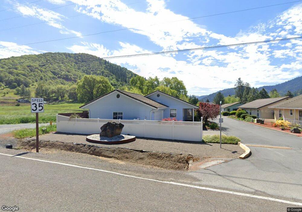
101 Cluster Dr Rogue River, OR 97537
Estimated Value: $301,000 - $362,000
2
Beds
2
Baths
12
Sq Ft
$27,010/Sq Ft
Est. Value
About This Home
This home is located at 101 Cluster Dr, Rogue River, OR 97537 and is currently estimated at $324,122, approximately $27,010 per square foot. 101 Cluster Dr is a home located in Jackson County with nearby schools including South Valley Academy, Rogue River Elementary School, and Rogue River Junior/Senior High School.
Ownership History
Date
Name
Owned For
Owner Type
Purchase Details
Closed on
Dec 2, 2021
Sold by
Brasfield Karen Lynn and Estate Of Nancy A Slobie
Bought by
Nestor Chris
Current Estimated Value
Home Financials for this Owner
Home Financials are based on the most recent Mortgage that was taken out on this home.
Original Mortgage
$224,000
Outstanding Balance
$204,409
Interest Rate
3.14%
Mortgage Type
New Conventional
Estimated Equity
$119,713
Purchase Details
Closed on
Feb 8, 2005
Sold by
Stobie Effie L
Bought by
Stobie Nancy A
Create a Home Valuation Report for This Property
The Home Valuation Report is an in-depth analysis detailing your home's value as well as a comparison with similar homes in the area
Home Values in the Area
Average Home Value in this Area
Purchase History
| Date | Buyer | Sale Price | Title Company |
|---|---|---|---|
| Nestor Chris | $280,000 | Ticor Title | |
| Stobie Nancy A | -- | -- | |
| Stobie Effie L | -- | -- |
Source: Public Records
Mortgage History
| Date | Status | Borrower | Loan Amount |
|---|---|---|---|
| Open | Nestor Chris | $224,000 |
Source: Public Records
Tax History
| Year | Tax Paid | Tax Assessment Tax Assessment Total Assessment is a certain percentage of the fair market value that is determined by local assessors to be the total taxable value of land and additions on the property. | Land | Improvement |
|---|---|---|---|---|
| 2026 | $2,933 | $202,390 | $106,000 | $96,390 |
| 2025 | $2,839 | $198,830 | $67,500 | $131,330 |
| 2024 | $2,839 | $193,040 | $65,540 | $127,500 |
| 2023 | $2,747 | $187,420 | $63,630 | $123,790 |
| 2022 | $2,683 | $187,420 | $63,630 | $123,790 |
| 2021 | $2,607 | $181,970 | $61,780 | $120,190 |
| 2020 | $2,540 | $176,670 | $59,980 | $116,690 |
| 2019 | $2,479 | $166,540 | $56,540 | $110,000 |
| 2018 | $2,414 | $161,690 | $54,900 | $106,790 |
| 2017 | $2,359 | $161,690 | $54,900 | $106,790 |
| 2016 | $2,300 | $152,420 | $51,750 | $100,670 |
| 2015 | $2,235 | $152,420 | $56,710 | $95,710 |
| 2014 | $2,164 | $143,680 | $53,460 | $90,220 |
Source: Public Records
Map
Nearby Homes
- 2661 Wards Creek Rd
- 182 Wards Creek Rd
- 714 Brookside Cir
- 103 Wards Creek Ln
- 5525 Red Tail Ln
- 5500 Red Tail Ln
- 107 Marie Cir
- 105 Brolin Ct
- 111 Cedar St
- 101 Cedar Ridge Terrace
- 207 Madrone St
- 509 Cypress Ave
- 105 Cedar Ridge Terrace
- 707 Wards Creek Rd
- 904 Broadway St Unit 503
- 5508 Rogue River Hwy
- 512 Pine St
- 8401 Rogue River Hwy
- 208 W Main St
- 210 W Main St
- 100 Wards Creek Rd
- 100 Cluster Dr
- 103 Cluster Dr
- 230 Wards Creek Rd
- 102 Cluster Dr
- 105 Cluster Dr
- 104 Cluster Dr
- 176 Wards Creek Rd
- 106 Cluster Dr
- 744 Brookside Cir
- 740 Brookside Cir
- 0 Wards Creek Rd Unit 100081152
- 0 Wards Creek Rd Unit 100243826
- 0 Wards Creek Rd Unit 100981137
- 0 Wards Creek Rd Unit 100973551
- 0 Wards Creek Rd Unit 100240944
- 0 Wards Creek Rd Unit 100236838
- 0 Wards Creek Rd Unit 100236837
- 0 Wards Creek Rd Unit 100233270
- 0 Wards Creek Rd Unit 100235381
Your Personal Tour Guide
Ask me questions while you tour the home.