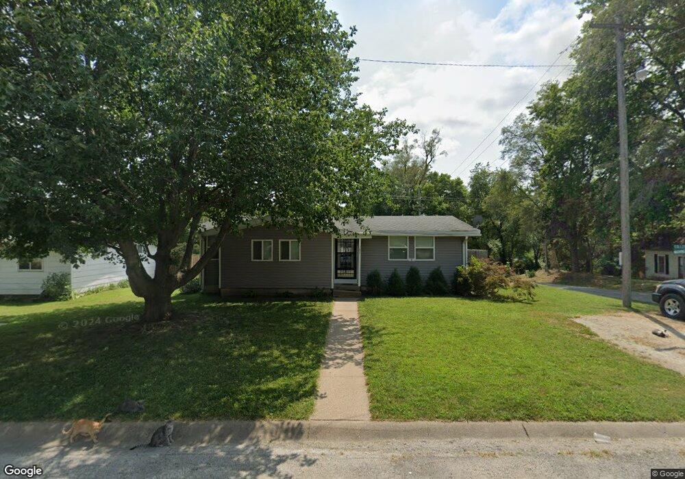
101 College Square Rock Port, MO 64482
Estimated Value: $102,000 - $357,792
3
Beds
1
Bath
1,089
Sq Ft
$162/Sq Ft
Est. Value
About This Home
This home is located at 101 College Square, Rock Port, MO 64482 and is currently estimated at $176,698, approximately $162 per square foot. 101 College Square is a home located in Atchison County with nearby schools including Rock Port Elementary School and Rock Port High School.
Ownership History
Date
Name
Owned For
Owner Type
Purchase Details
Closed on
Sep 28, 2011
Sold by
Citizens Bank & Trust
Bought by
Grant Fonda R and Grant Debra A
Current Estimated Value
Purchase Details
Closed on
Sep 21, 2011
Sold by
Citizens Bank & Trust
Bought by
Citizens Bank & Trust
Purchase Details
Closed on
Aug 30, 2011
Sold by
Wallace Jeffery M and Wallace Kimberly
Bought by
Citizens Bank & Trust
Purchase Details
Closed on
Dec 7, 2006
Sold by
Citizens Bank & Trust
Bought by
Wallace Jeffery M and Wallace Kimberly N
Purchase Details
Closed on
Oct 14, 2005
Sold by
Carlson Letha
Bought by
Citizens Bank & Trust
Create a Home Valuation Report for This Property
The Home Valuation Report is an in-depth analysis detailing your home's value as well as a comparison with similar homes in the area
Purchase History
| Date | Buyer | Sale Price | Title Company |
|---|---|---|---|
| Grant Fonda R | $15,000 | -- | |
| Citizens Bank & Trust | -- | -- | |
| Citizens Bank & Trust | -- | -- | |
| Wallace Jeffery M | -- | -- | |
| Citizens Bank & Trust | -- | -- |
Source: Public Records
Tax History
| Year | Tax Paid | Tax Assessment Tax Assessment Total Assessment is a certain percentage of the fair market value that is determined by local assessors to be the total taxable value of land and additions on the property. | Land | Improvement |
|---|---|---|---|---|
| 2025 | $1,135 | $70,740 | $0 | $0 |
| 2024 | $989 | $11,894 | $646 | $11,248 |
| 2023 | $989 | $11,894 | $646 | $11,248 |
| 2022 | $90,436 | $57,200 | $589 | $10,279 |
| 2021 | $799 | $10,868 | $589 | $10,279 |
| 2020 | $799 | $9,538 | $0 | $9,538 |
| 2019 | $799 | $9,538 | $0 | $9,538 |
| 2018 | -- | $9,538 | $589 | $8,949 |
| 2017 | -- | $9,538 | $589 | $8,949 |
| 2016 | -- | $9,538 | $589 | $8,949 |
| 2015 | -- | $9,538 | $589 | $8,949 |
| 2012 | -- | $6,859 | $0 | $0 |
Source: Public Records
Map
Nearby Homes
- 212 W Mill St
- 106 Us Hwy 136 E Hwy
- 105 E US Highway 136
- 402 S Market St
- 601 S Water St
- 17348 US Highway 136
- 17287 US Highway 136
- St Hwy East St
- 25984 Outer Rd
- 1102 Maple St
- 0 270 St
- 709 Broad St
- 164 E Allen St
- 0 N 7th St Unit 901
- 901 N 7th St
- 503 Linden St
- 402 Vine St
- 626 Atlantic St
- 509 N US Highway 59
- 401 N Broadway St
- 102 College Square
- 105 College Square
- 103 College Square
- 106 College Square
- 107 College Square
- 104 College Square
- 306 N Washington St
- 108 College Square
- 212 N Washington St
- 211 W 3rd St
- 311 W 3rd St
- 312 W 3rd St
- 501 W 4th St
- 310 W 3rd St
- 401 W 2nd St
- 500 Us Highway 136 W
- 304 N Nebraska St
- 408 W 2nd St
- 302 N Nebraska St
- 306 N Nebraska St
Your Personal Tour Guide
Ask me questions while you tour the home.