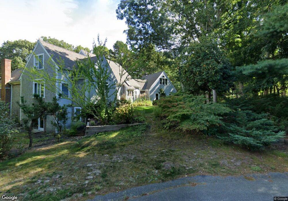
101 Howes Path Dennis, MA 2638
Dennis Village NeighborhoodEstimated Value: $312,000 - $875,560
Studio
--
Bath
--
Sq Ft
18,295
Sq Ft Lot
About This Home
This home is located at 101 Howes Path, Dennis, MA 2638 and is currently estimated at $569,140. 101 Howes Path is a home located in Barnstable County with nearby schools including Dennis-Yarmouth Regional High School.
Ownership History
Date
Name
Owned For
Owner Type
Purchase Details
Closed on
Sep 2, 2016
Sold by
Buduo Julia
Bought by
Db Rt
Current Estimated Value
Home Financials for this Owner
Home Financials are based on the most recent Mortgage that was taken out on this home.
Original Mortgage
$587,000
Outstanding Balance
$469,174
Interest Rate
3.45%
Mortgage Type
Purchase Money Mortgage
Estimated Equity
$99,966
Purchase Details
Closed on
Oct 20, 2003
Sold by
Milligan John R
Bought by
Buduo Daniel Andrew and Buduo Julia
Create a Home Valuation Report for This Property
The Home Valuation Report is an in-depth analysis detailing your home's value as well as a comparison with similar homes in the area
Home Values in the Area
Average Home Value in this Area
Purchase History
| Date | Buyer | Sale Price | Title Company |
|---|---|---|---|
| Db Rt | -- | -- | |
| Buduo Daniel Andrew | $260,000 | -- |
Source: Public Records
Mortgage History
| Date | Status | Borrower | Loan Amount |
|---|---|---|---|
| Open | Db Rt | $587,000 |
Source: Public Records
Tax History
| Year | Tax Paid | Tax Assessment Tax Assessment Total Assessment is a certain percentage of the fair market value that is determined by local assessors to be the total taxable value of land and additions on the property. | Land | Improvement |
|---|---|---|---|---|
| 2025 | $760 | $175,500 | $175,500 | $0 |
| 2024 | $741 | $168,700 | $168,700 | $0 |
| 2023 | $716 | $153,400 | $153,400 | $0 |
| 2022 | $774 | $138,200 | $138,200 | $0 |
| 2021 | $817 | $135,500 | $135,500 | $0 |
| 2020 | $992 | $162,600 | $162,600 | $0 |
| 2019 | $1,229 | $199,200 | $199,200 | $0 |
| 2018 | $1,202 | $189,600 | $189,600 | $0 |
| 2017 | $1,244 | $202,300 | $202,300 | $0 |
| 2016 | $1,403 | $214,900 | $214,900 | $0 |
| 2015 | $1,375 | $214,900 | $214,900 | $0 |
| 2014 | $1,365 | $214,900 | $214,900 | $0 |
Source: Public Records
Map
Nearby Homes
- 39 Whittier Dr
- 26 S West Dr
- 268 Main St
- 6 Thomas Ct
- 35 Crown Grant Dr
- 15 Signal Hill Dr
- 930 Old Bass River Rd
- 59 Main St Unit 19-2
- 59 Route 6a Unit 29-4
- 480 Main St
- 568 Route 6a
- 59 Massachusetts 6a Unit 19-2
- 32 Captain Walsh Dr
- 14 S Yarmouth Rd
- 645 Main St Back Lot
- 58 Terrace Hill Dr
- 61 Terrace Hill Dr
- 16 Hazelwood Rd
- 20 Bray Farm Rd S
- 19 Deacon Joseph Ln
- 106 Howes Path
- 9 Ox-Bow Way
- 8 Match Point
- 10 Village Green
- 2 Match Point
- 4 Village Green
- 90 Howes Path
- 7 Match Point
- 25 Village Green
- 5 Match Point
- 23 Village Green
- 21 Village Green
- 27 Village Green
- 86 Howes Path
- 85 Howes Path
- 83 Village Green
- 37 Run Pond Rd
- 37A Run Pond Rd
- 34 Village Green
- 31 Village Green
Your Personal Tour Guide
Ask me questions while you tour the home.