101 Windswept Rd Tunkhannock, PA 18657
Estimated Value: $344,000 - $1,145,203
Studio
--
Bath
--
Sq Ft
13,206,086
Sq Ft Lot
About This Home
This home is located at 101 Windswept Rd, Tunkhannock, PA 18657 and is currently estimated at $613,401. 101 Windswept Rd is a home with nearby schools including Tunkhannock Middle School and Tunkhannock High School.
Ownership History
Date
Name
Owned For
Owner Type
Purchase Details
Closed on
Apr 13, 2018
Sold by
Wisniewski Family Ptnshp
Bought by
Reel David G and Desilets-Reel Michele
Current Estimated Value
Home Financials for this Owner
Home Financials are based on the most recent Mortgage that was taken out on this home.
Original Mortgage
$560,000
Outstanding Balance
$481,702
Interest Rate
4.45%
Mortgage Type
Purchase Money Mortgage
Estimated Equity
$131,699
Create a Home Valuation Report for This Property
The Home Valuation Report is an in-depth analysis detailing your home's value as well as a comparison with similar homes in the area
Home Values in the Area
Average Home Value in this Area
Purchase History
| Date | Buyer | Sale Price | Title Company |
|---|---|---|---|
| Reel David G | $700,000 | -- |
Source: Public Records
Mortgage History
| Date | Status | Borrower | Loan Amount |
|---|---|---|---|
| Open | Reel David G | $560,000 |
Source: Public Records
Tax History
| Year | Tax Paid | Tax Assessment Tax Assessment Total Assessment is a certain percentage of the fair market value that is determined by local assessors to be the total taxable value of land and additions on the property. | Land | Improvement |
|---|---|---|---|---|
| 2025 | $5,215 | $96,900 | $72,405 | $24,495 |
| 2024 | $10,741 | $96,900 | $72,405 | $24,495 |
| 2023 | $5,168 | $96,900 | $72,405 | $24,495 |
| 2022 | $10,499 | $96,900 | $72,405 | $24,495 |
| 2021 | $4,980 | $96,900 | $72,405 | $24,495 |
| 2020 | $4,980 | $96,900 | $72,405 | $24,495 |
| 2019 | $10,063 | $96,900 | $72,405 | $24,495 |
| 2018 | $4,706 | $96,900 | $72,405 | $24,495 |
| 2017 | $4,636 | $46,430 | $21,830 | $24,600 |
| 2016 | -- | $46,430 | $21,830 | $24,600 |
| 2015 | -- | $46,430 | $21,830 | $24,600 |
| 2014 | -- | $46,430 | $21,830 | $24,600 |
Source: Public Records
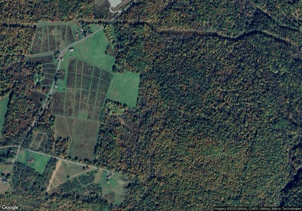
Map
Nearby Homes
- 7 Hollow Crest Rd
- 10 Karin Dr
- 14 Karin Dr
- 5 Karin Dr
- 216 Holly Place
- 55 Margrow Rd
- 24 Mount View Terrace
- 0 Sr 29n Unit GSBSC256186
- 20 Slocum Ave
- 5 E Harrison St
- 1 Sullivan St
- 32 Shore Dr
- 48 Indian Spring Rd
- 28 Pine St
- 24 Benson Hollow Ln
- 150 Grandview Dr
- 148 Grandview Dr
- 4483 Sr 87
- 4733 Pennsylvania 87
- 425 Woodland Way
- 61 Wisniewski Rd
- 65 Windswept Rd
- 54 Windswept Rd
- 141 Windswept Rd
- 110 Blue Spruce Ln
- 136 Spruce St
- 110 Windswept Rd
- 48 Windswept Rd
- 25 Windswept Rd
- 170 Blue Spruce Ln
- 170 Blue Spruce Ln
- 148 Windswept Rd
- 1501 Sr 6 W
- 38 Vosburg Rd
- 15 Windswept Rd
- 208 Windswept Rd
- 60 Prevost Rd
- 60 Prevost Rd
- 14 Old Orchard Ln
- 211 Windswept Rd
Your Personal Tour Guide
Ask me questions while you tour the home.